 Best hiking trails in Östergötlands län
Naturkartan samlar de vandringslederna i Östergötlands län som är populärast bland våra användare.
Map
De bästa vandringslederna (362):
 Running
 Circular trail
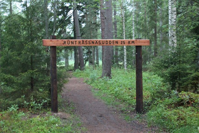
Åsviksslingan, Östgötaleden
- Municipality: Valdemarsvik
- 6619.6 km away from you
- 7.1 km
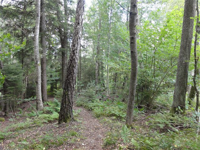
Hiking
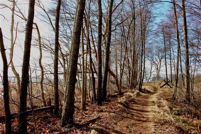
Östgötaleden – Medevi - Övralid
- Municipality: Motala
- 6647.68 km away from you
- 9.0 km
- Difficulty: Green

![[Boxholm ] Boxholm - Trehörna EN](https://uploads.naturkartan-cdn.se/b8dd9d51ca4f5eec9a2c79467491898e.jpg?width=640&height=480)
Hiking
[Boxholm ] Boxholm - Trehörna EN
- Municipality: Boxholm
- 6597.82 km away from you
- 25.6 km
- Difficulty: Blue
![|Translated by Google translation| [Kinda] Kisa-Horn](https://uploads.naturkartan-cdn.se/a705c2faf327ad89d400bb12771750a5.jpg?width=640&height=480)
Hiking
|Translated by Google translation| [Kinda] Kisa-Horn
- Municipality: Kinda
- 6588.37 km away from you
- 25.1 km
- Difficulty: Green
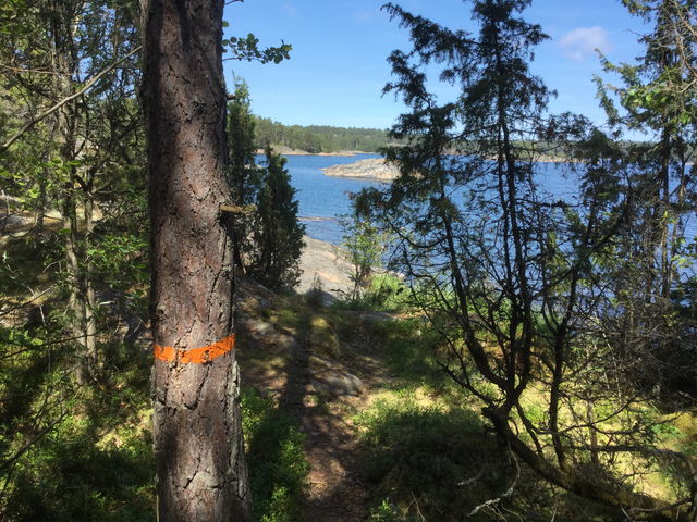
Circular trail
Ekhultebergen rundslinga, Östgötaleden
- Municipality: Åtvidaberg
- 6621.44 km away from you
- 3.8 km
- Difficulty: Blue
![|Translated by Google translation| [Motala] Medevi - Godegård, Krassbäck](https://uploads.naturkartan-cdn.se/d8df538babfd13260b39ea891254ea6a.jpg?width=640&height=480)
Hiking
|Translated by Google translation| [Motala] Medevi - Godegård, Krassbäck
- Municipality: Motala
- 6654.72 km away from you
- 18.3 km
- Difficulty: Green

![|Translated by Google translation| [Mjölby] Skogssjön - Örbäckens nature reserve](https://uploads.naturkartan-cdn.se/f691caaf58f240e41aa9f5cffe42ae45.jpg?width=640&height=480)
Hiking
|Translated by Google translation| [Mjölby] Skogssjön - Örbäckens nature reserve
- Municipality: Mjölby
- 6622.46 km away from you
- 6.0 km
- about 1 hour
- Difficulty: Blue

![[Ödeshög] Borghamn - Alvastra EN](https://uploads.naturkartan-cdn.se/70b9dd02ec050cc3dbb9f2555e99d000.jpg?width=640&height=480)
Hiking
[Ödeshög] Borghamn - Alvastra EN
- Municipality: Ödeshög
- 6609.13 km away from you
- 14.2 km
- Difficulty: Blue
