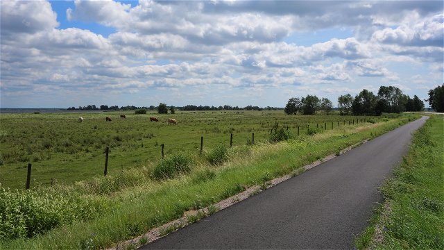
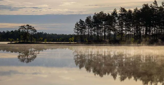
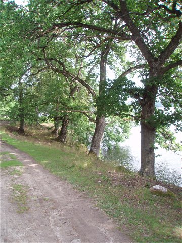
![|Translated by Google translation| [Kinda] Pålhult-Rimforsa](https://uploads.naturkartan-cdn.se/b4de598b3fe86f1566eaca541dd98e78.jpg?width=640&height=480)
 Hiking
|Translated by Google translation| [Kinda] Pålhult-Rimforsa
- Municipality: Kinda
- 6599.8 km away from you
- 22.6 km
- Difficulty: Blue
Best hiking trails in Östergötlands län
Naturkartan samlar de vandringslederna i Östergötlands län som är populärast bland våra användare.
Hiking
Hiking
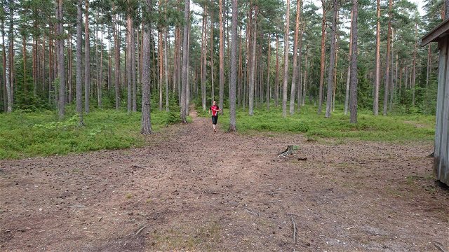
![[Norrköping] Björkviken runt](https://uploads.naturkartan-cdn.se/54df8834f030f204e45ee3a06987e49f.jpg?width=640&height=480)
 Circular trail
Hiking
Circular trail
Circular trail
Hiking
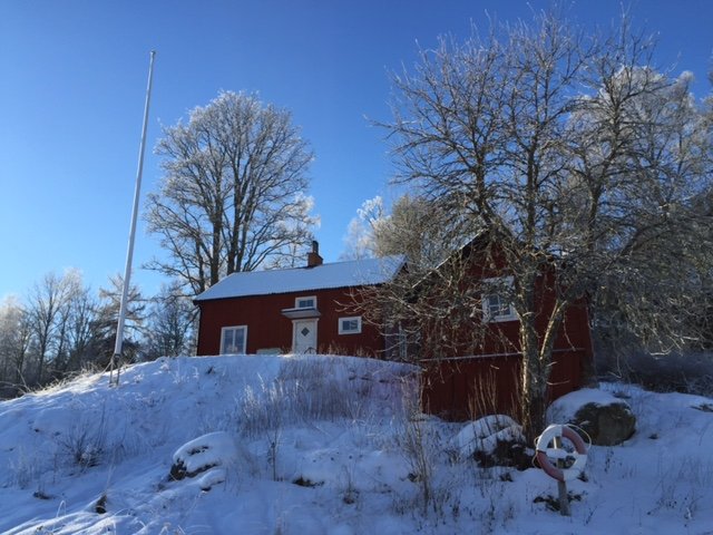
![[Norrköping] Stora Namnsgölen runt](https://uploads.naturkartan-cdn.se/3e797413cde14eaffe2a9b4f9bee8d0f.jpg?width=640&height=480)
Circular trail
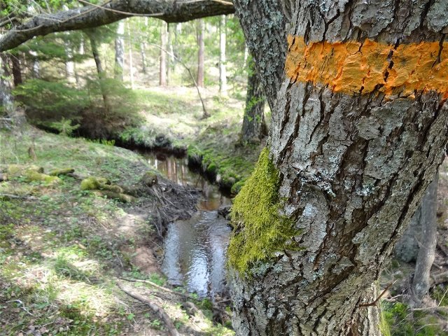
![[Boxholm ] Rundslinga Stora Jordgölen - Storhagen EN](https://uploads.naturkartan-cdn.se/f74034c5935cb31d02a0ea5da1bfb074.jpg?width=640&height=480)
Circular trail
![[Ödeshög] Stora Klintslingan](https://uploads.naturkartan-cdn.se/2e54e73b95342ee9ce56a7f49c517230.jpg?width=640&height=480)
Circular trail
![|Translated by Google translation| [Motala] Motala round](https://uploads.naturkartan-cdn.se/1b602ec6a0cd758d318030b87883f73a.jpg?width=640&height=480)
Circular trail
![[Norrköping] H-tallen rundslinga](https://uploads.naturkartan-cdn.se/a53c695cccfdc6b30fbd0b46fc1e5c29.jpg?width=640&height=480)
Circular trail
Hiking

Circular trail
 Running
 Cafe/Restaurant
 Children's adventure
