
Kärnskogsmossen - Kristinefors, Östgötaleden
- Hiking
- Editor's choice
- Stroller accessible
- Near parking
- Near toilet
- County: Östergötlands län
Trail details
- Length 6.5 km
- Difficulty Green - simple
Actions
Currently
Just nu går det inte att ta sig ända fram till Kristinefors. Från Kärnskogsmossen nås efter 7 km Skönnarboleden, som sammanfaller med denna etapp. Här har träd ramlat över leden, orsakat av tidigare granbarkborreangrepp. Åtgärd av alla omkullfallna träd över led pågår, men i dagsläget kan inget slutdatum anges när arbetet är klart.
Description
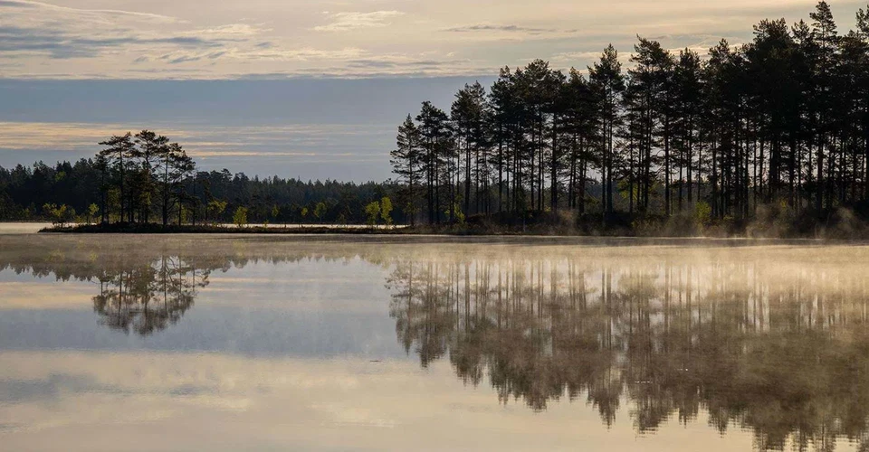
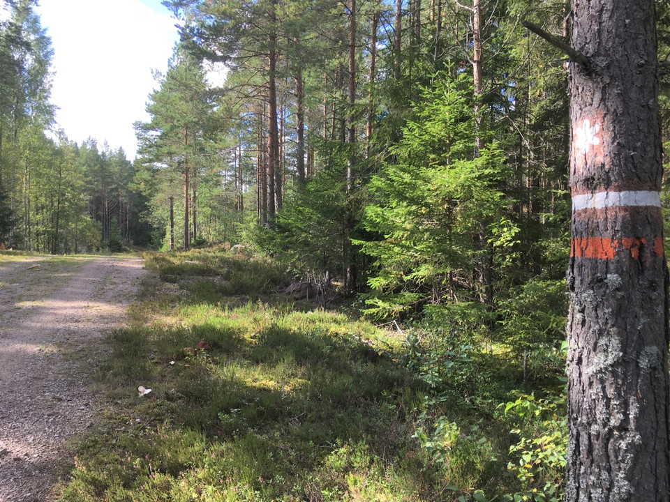
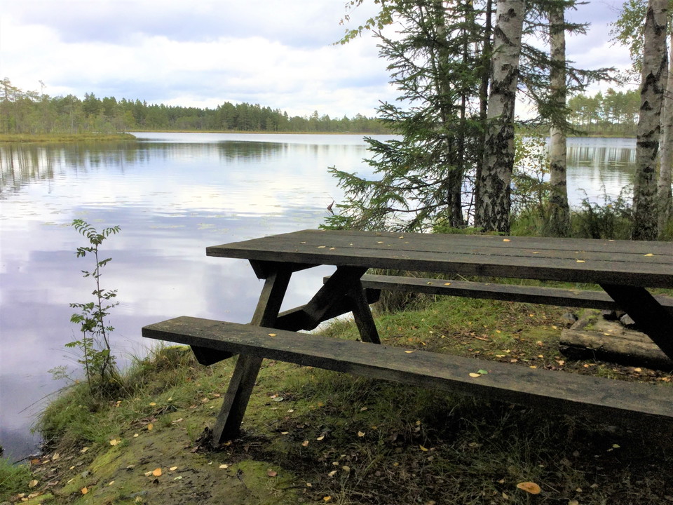
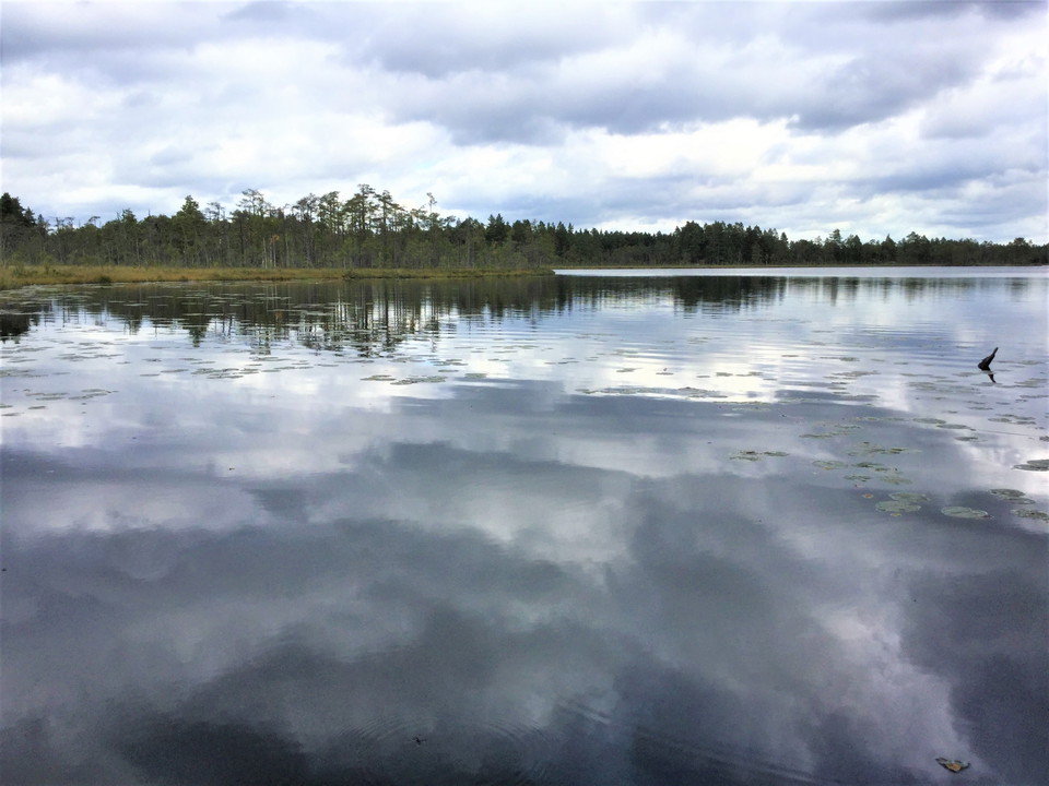
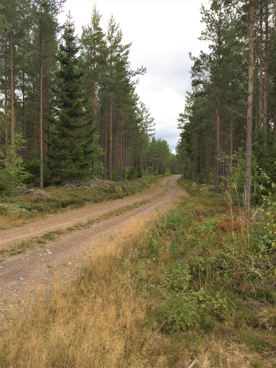
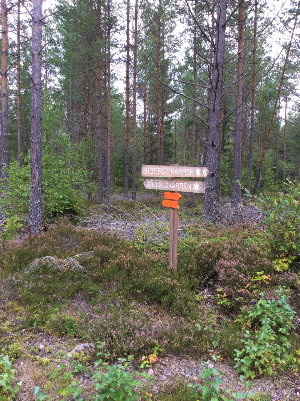
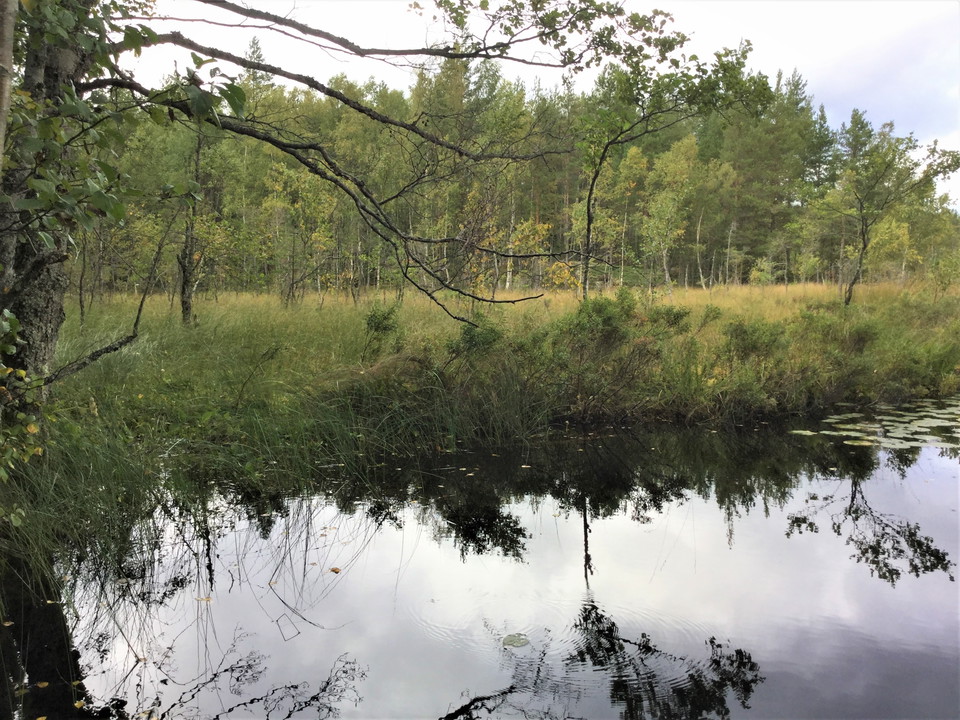
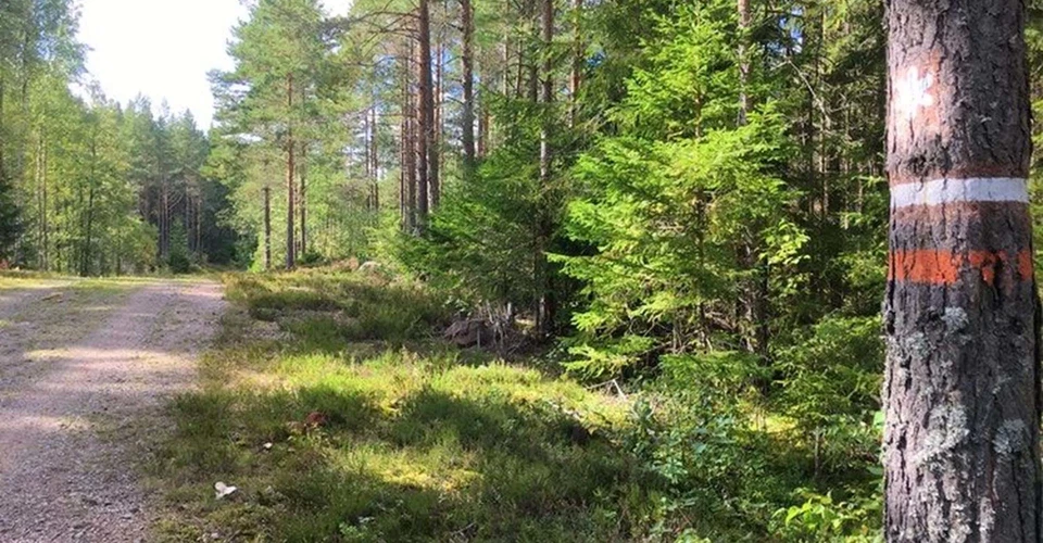
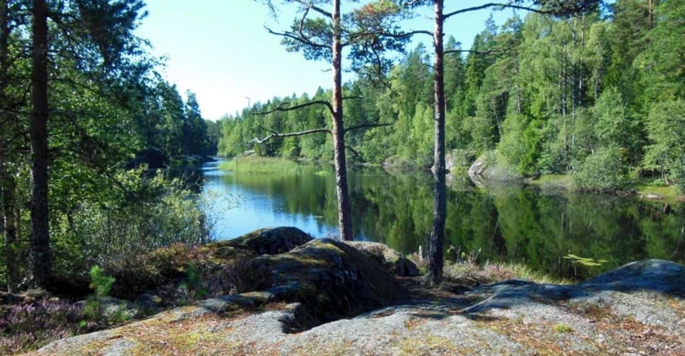
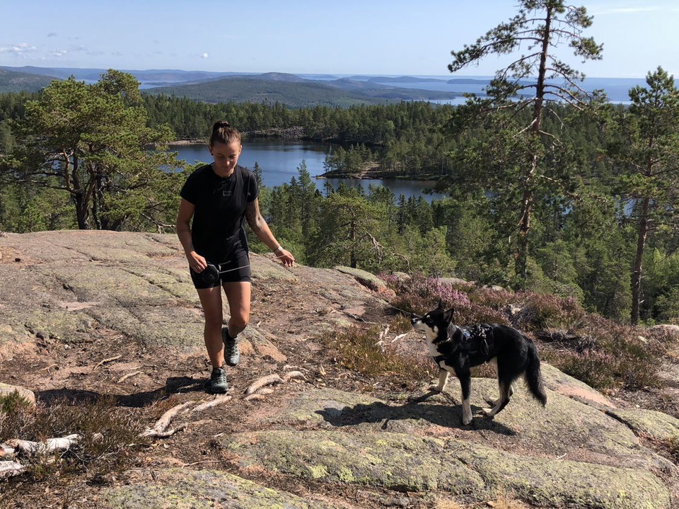
This part of Östgötaleden runs on gravel roads through Tyleskogen's pine forests. The northern part has a view of the large bog complex of which Kärnskogsmossen is a part. You also get a view of Gällsjön, where you can find a firesite with wood storage. In Kärnskogsmosse there are several firesites and a rest cabin you can stay in, an accessible toilet and parking.
Activities And Facilities
- Editor's choice
- Hiking
Accessibility
- Stroller accessible
- Near parking
- Near toilet
Parking
Parking at Kärnskogsmosse Nature Reserve
Downloads
Contact
Address
Välkommen till Östgötaleden, 150 mils vandring i Östergötland!
Email address
Kontakt Östgötaleden
Organization logotype

Please be aware that some of these texts have been automatically translated.
I’ve been here 11






I want to go here 22




Questions & Answers
Ask a question to other Naturkartan users.
Reviews
0 reviews
- 5 :
- 4 :
- 3 :
- 2 :
- 1 :
Users images
No user images yet. Be the first to share!
