 Hiking
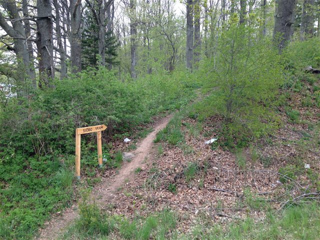
Vandringsled Skogssjön, röda slingan
- Municipality: Mjölby
- 6622.01 km away from you
- 2.5 km
- Difficulty: Blue
Best hiking trails in Östergötlands län
Naturkartan samlar de vandringslederna i Östergötlands län som är populärast bland våra användare.
Hiking
 Walking
Hiking
![[Boxholm ] Sundsudden - Malexander EN](https://uploads.naturkartan-cdn.se/f6803749e5253fc13675ae53ac95b758.jpg?width=640&height=480)
Hiking
Hiking
 Running
![[Linköping] Sätravallen - Bjärka Säby - EN](https://uploads.naturkartan-cdn.se/731de4b6efa3a4d8b2da03db40d6f597.jpg?width=640&height=480)
Hiking

Hiking
Hiking

Hiking
![|Translated by Google translation| [Åtvidaberg] Falerum-Vadet](https://uploads.naturkartan-cdn.se/8ba97293917e5469b5cb25b8e22ca193.jpg?width=640&height=480)
Hiking
![[Kinda] Smedstorp-Pinnarp EN](https://uploads.naturkartan-cdn.se/66f7eaf4de7b4fc3cdca8a38fe1eee83.jpg?width=640&height=480)
Hiking
![[Valdemarsvik] Valdemarsvik Österut](https://uploads.naturkartan-cdn.se/ace5b697bf05ef10e4c1222c946e099d.jpg?width=640&height=480)
Hiking
Hiking
![[Linköping] Borensberg - Berg (EN)](https://uploads.naturkartan-cdn.se/ca6dd3a50f7610add57908f4450b6dcd.jpg?width=640&height=480)
Hiking
Hiking
 Circular trail
 Entrance
