
-
-
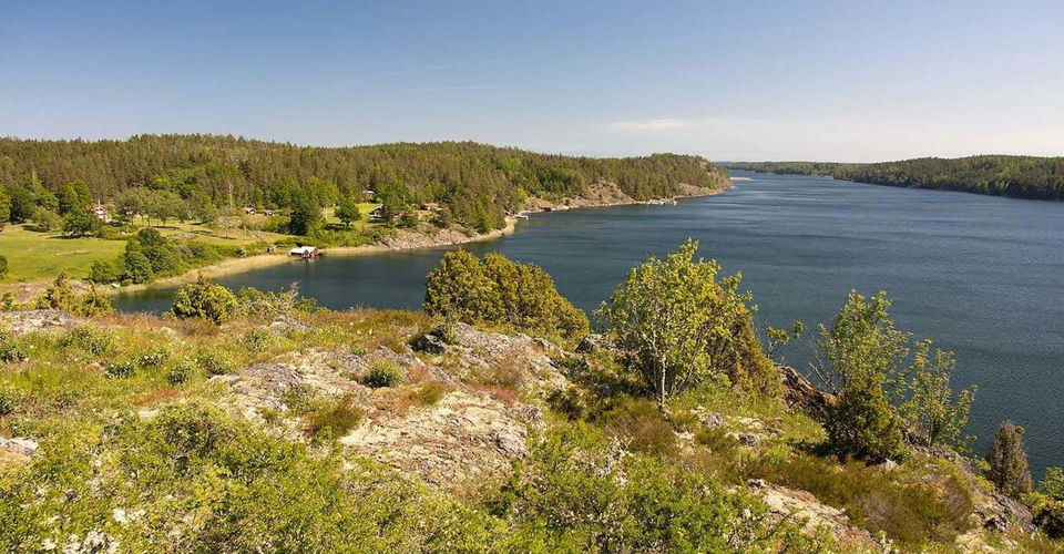
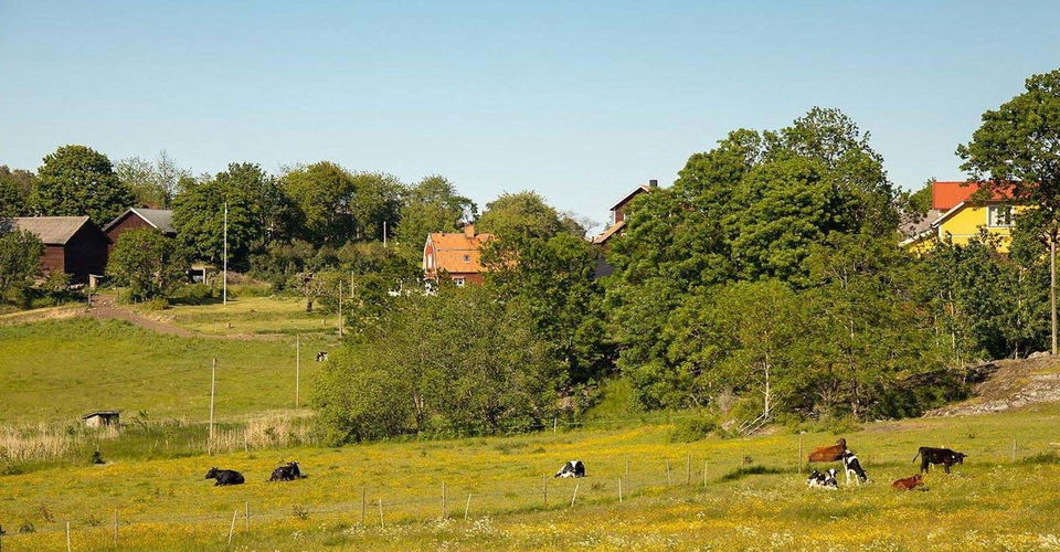
Utsikt -
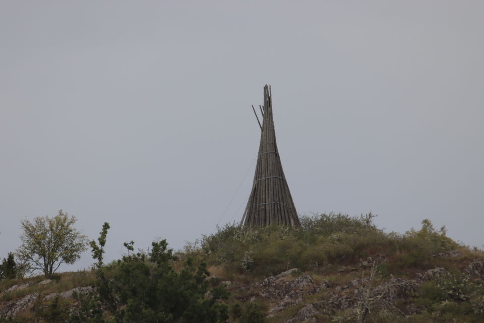
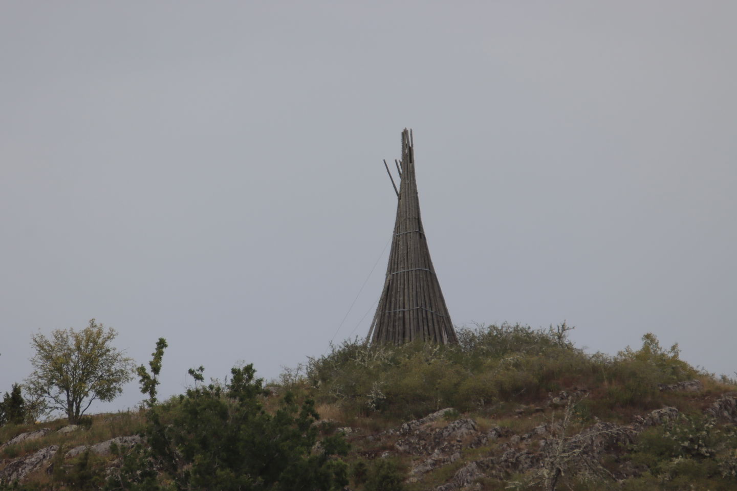
Hammarsten vårdkase -
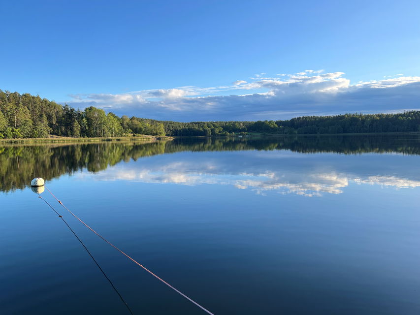
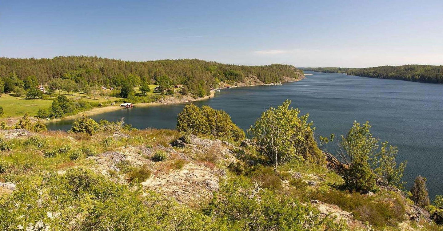
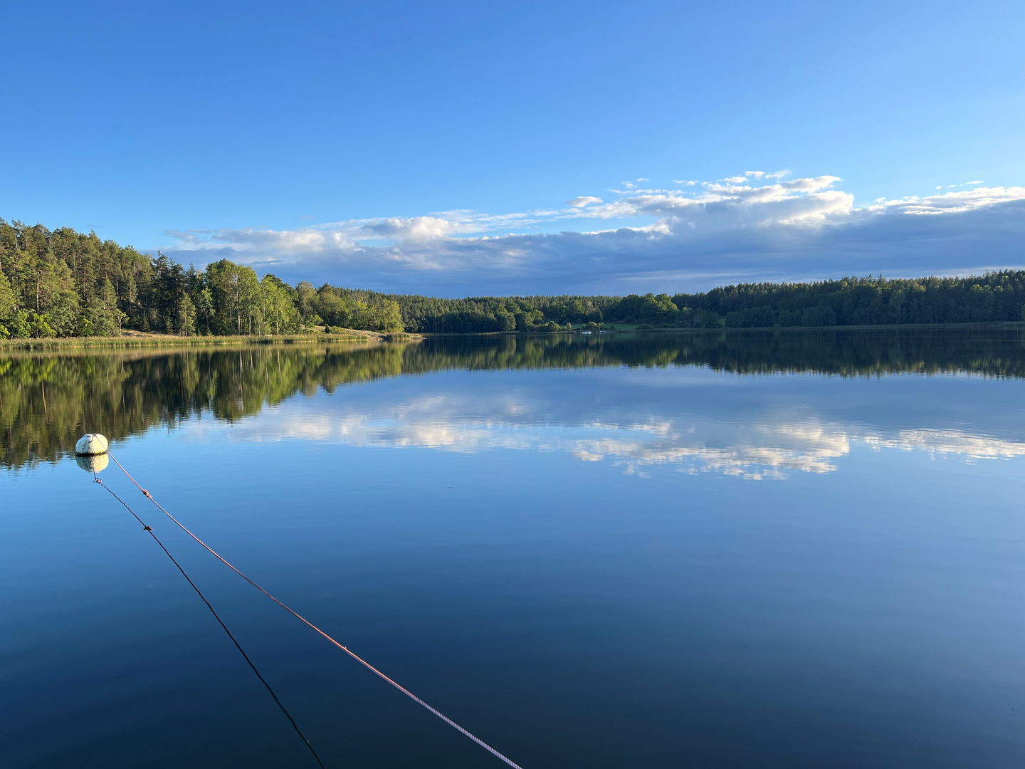
Utsikt över Kyrkviken -
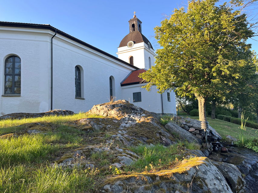
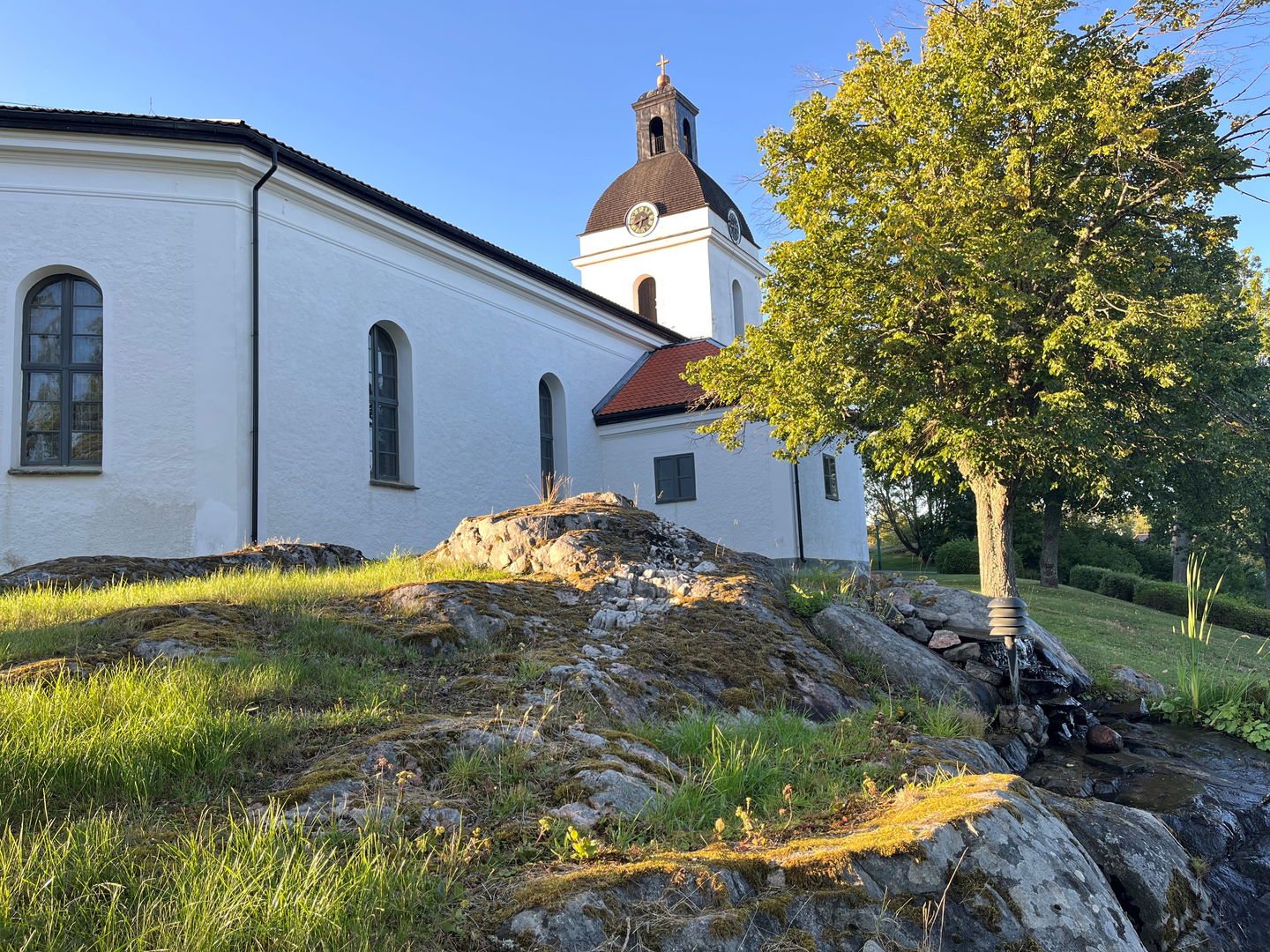
Gryts kyrka -
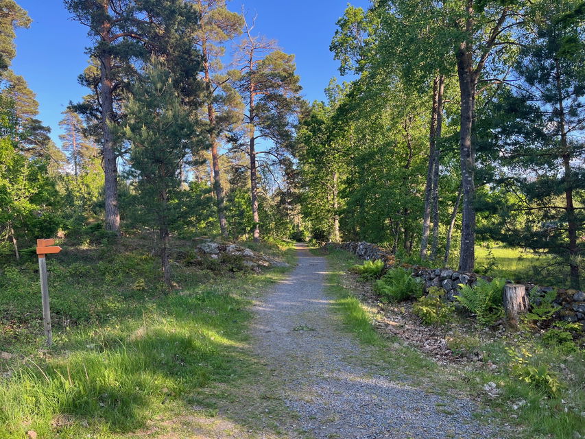
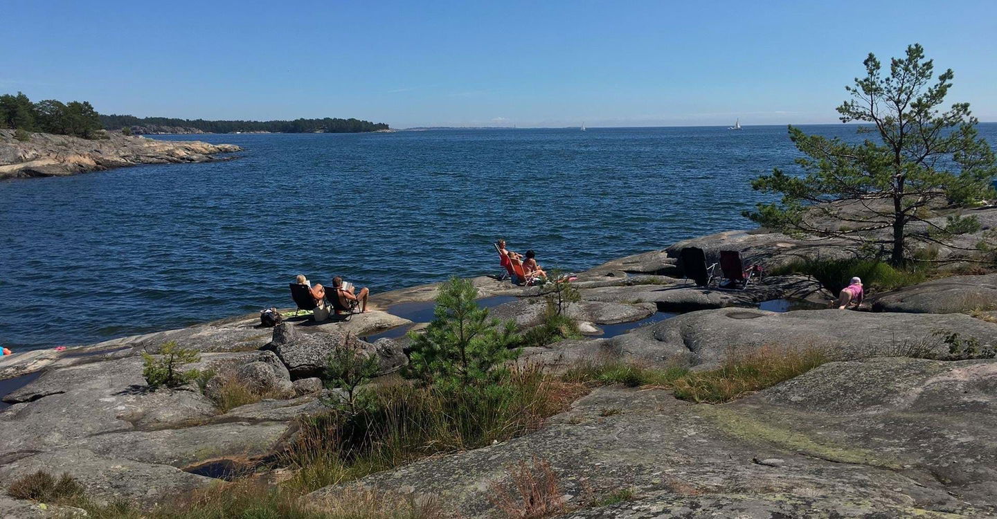
Innerskärgården i Snäckevarp -
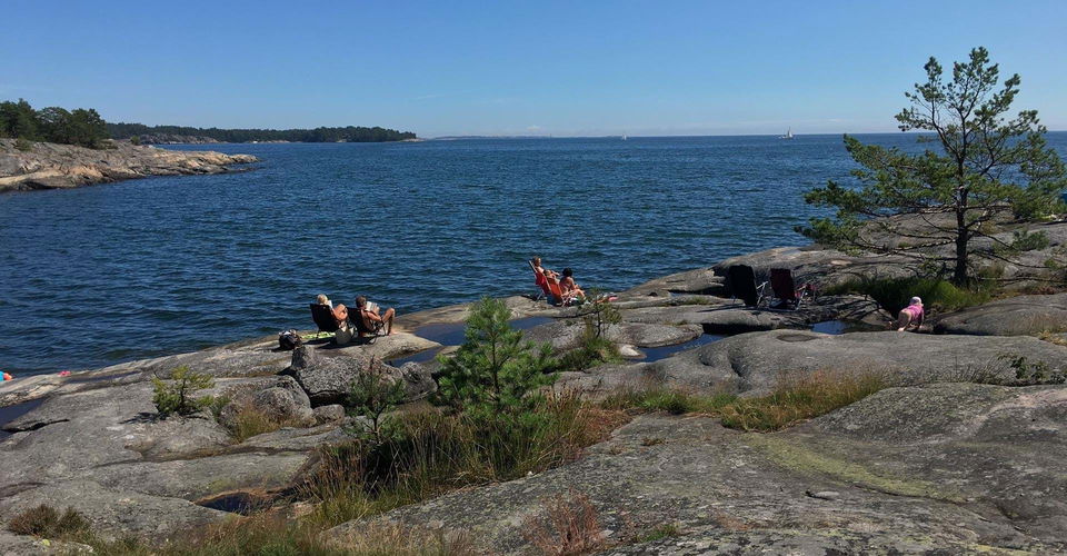
Eköns havsbad -
-
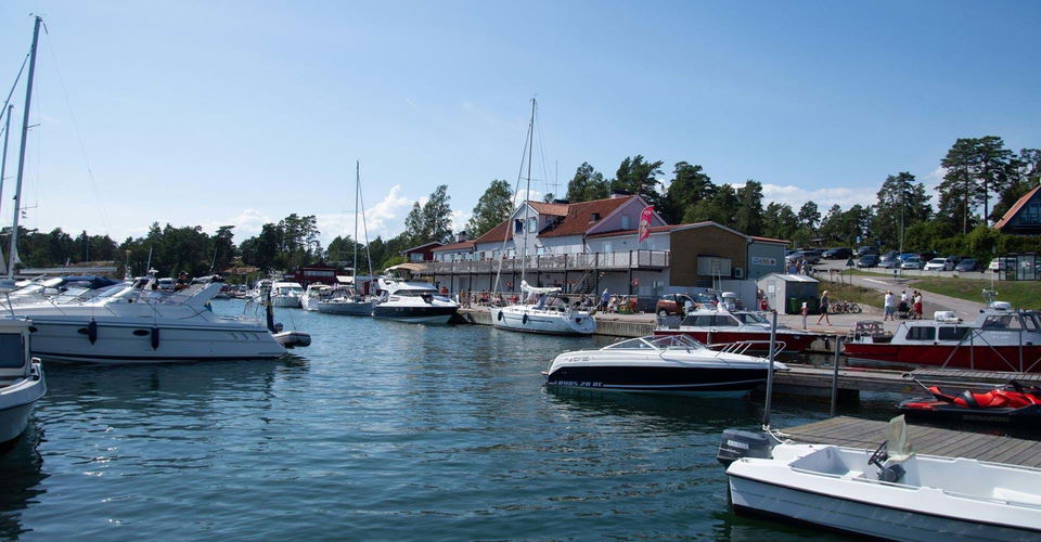
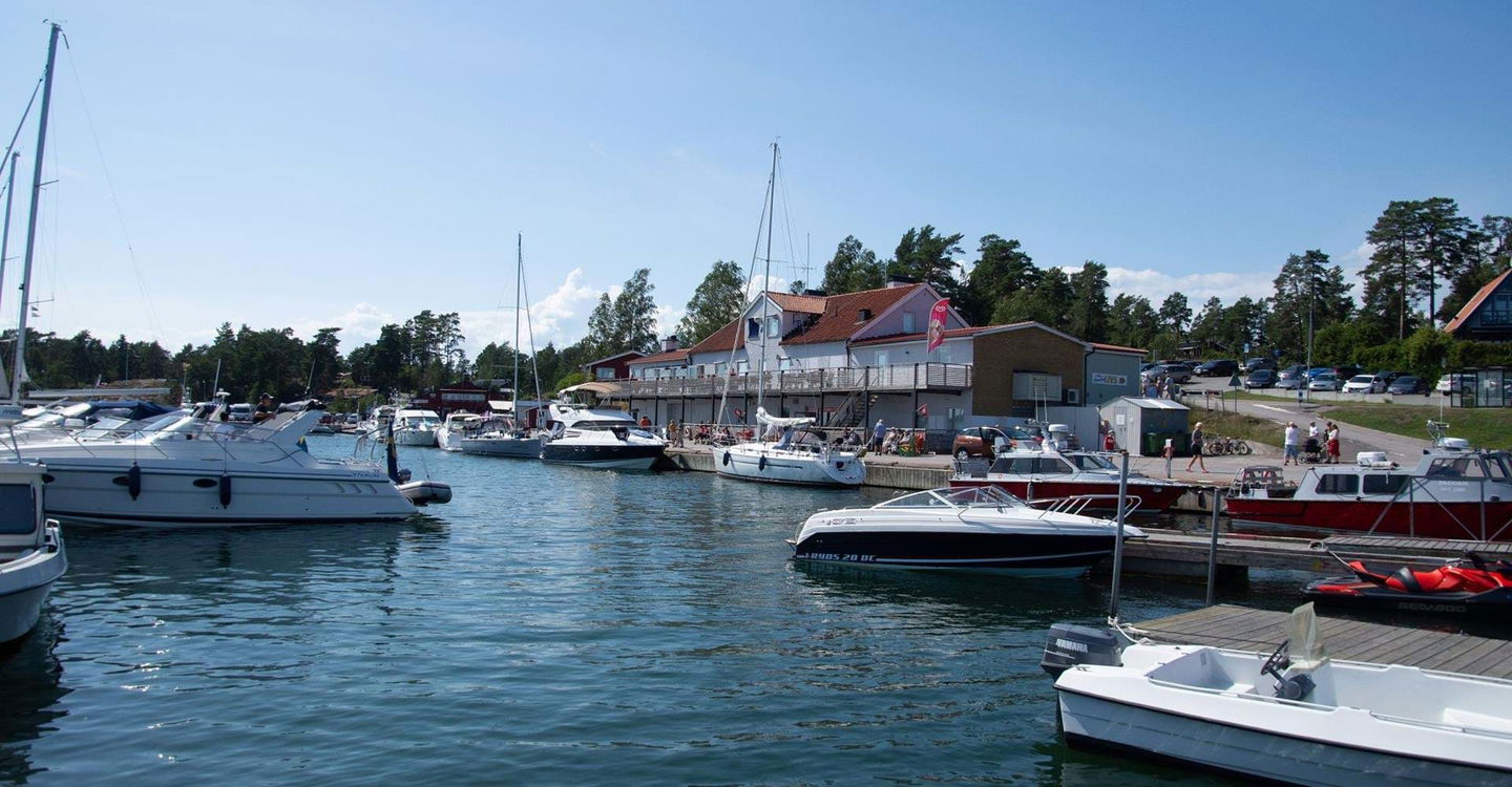
Fyruddens hamn -
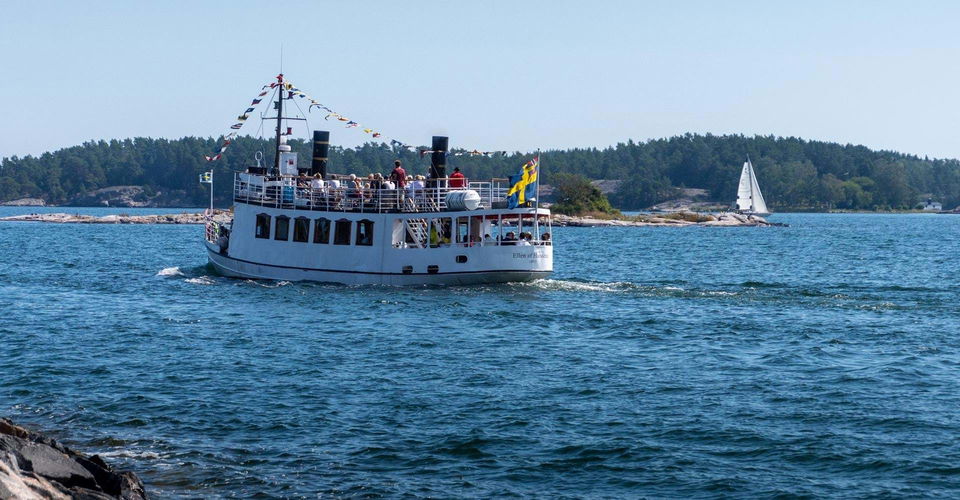
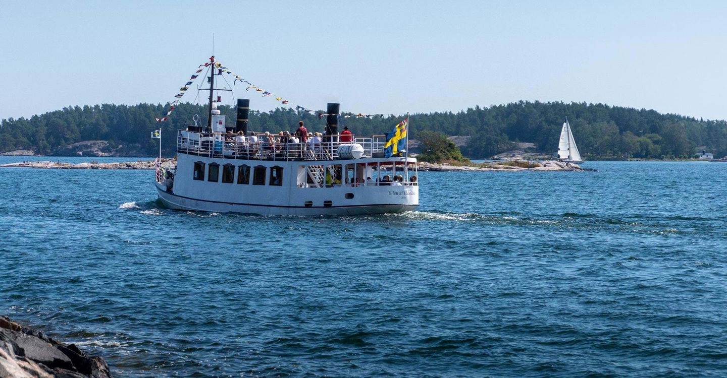
Turbåt -
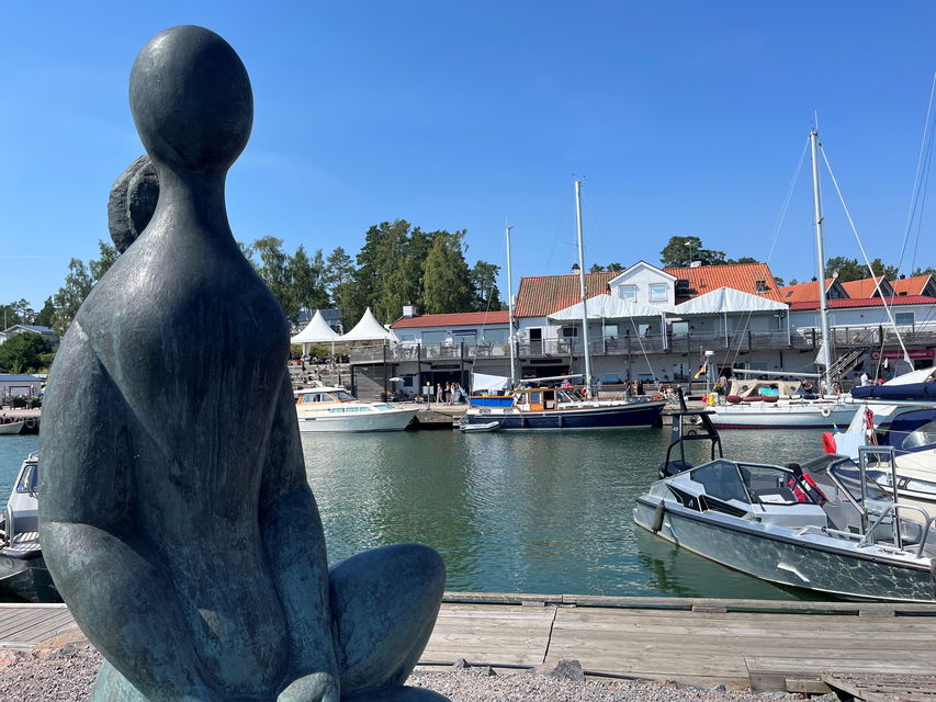
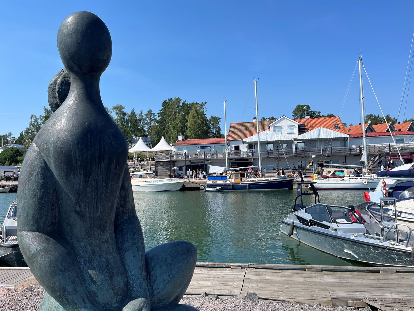
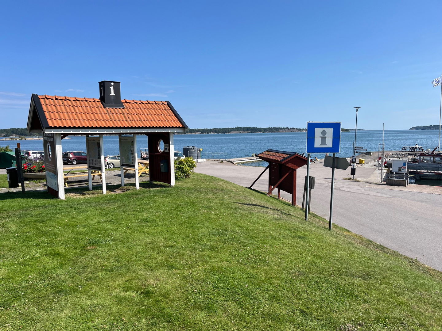
Fyruddens hamn -
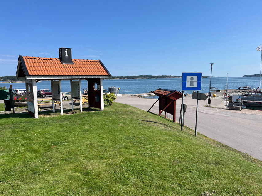
Fyrudden infopoint -
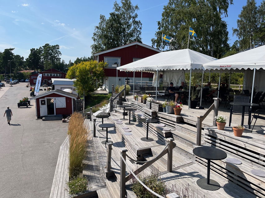
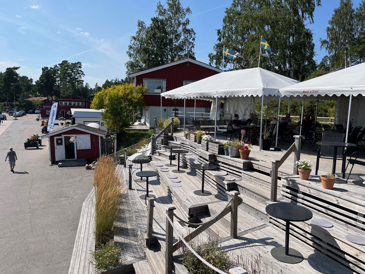
Restaurang Fyruddens terass

[Valdemarsvik] Valdemarsvik Österut
Hiking
- County: Östergötlands län
- 6632.62 km away from you
Trail details
- Length 27.6 km
- Difficulty Red - demanding
Actions
Description
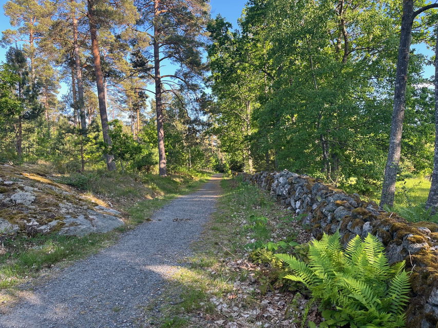
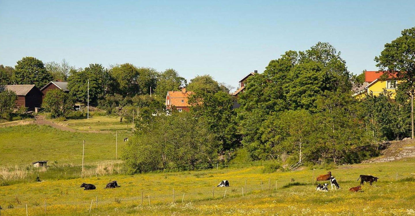
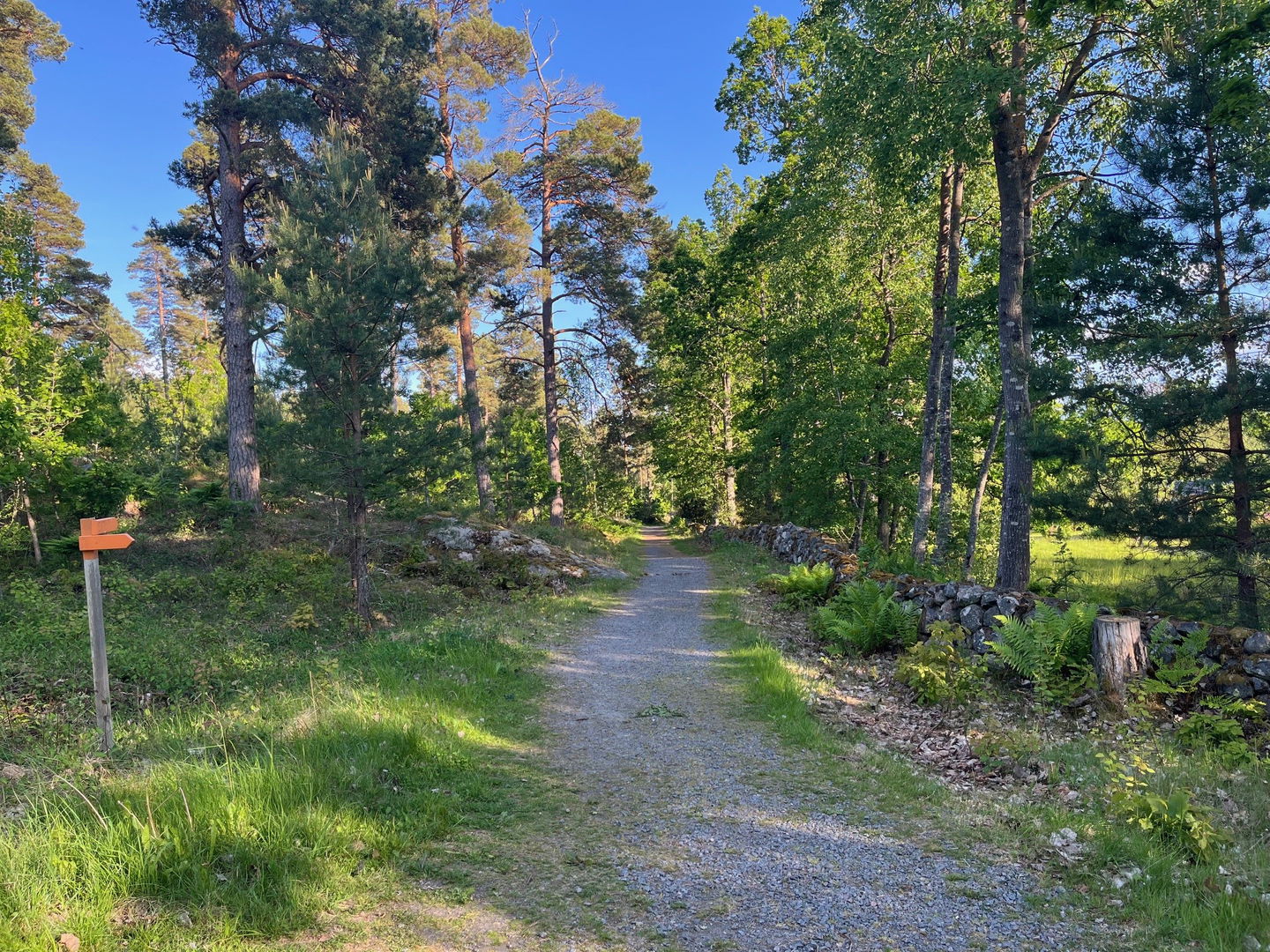
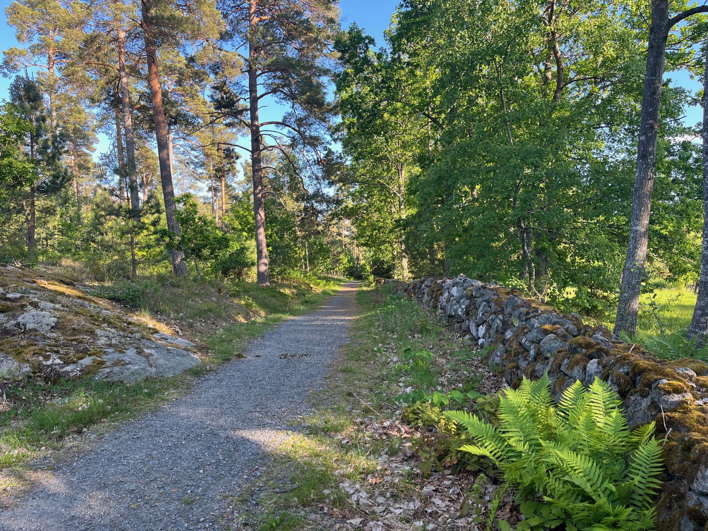
Från Valdemarsvik till Gryt, ca 21 kilometer, slingar sig leden genom ett varierat skogs- och odlingslandskap. Vid Månskensbergs rastplats får du en strålande utsikt över Valdemarsviken, svenska ostkustens enda fjord. Gör gärna en avstickare från Vikeboda till vårdkaseberget Hammarsten – klättringen är mycket tuff, men utsikten ger lön för mödan.
Mellan Gryt och Fyrudden, ca 4 km, går leden fram i en lugn och fridfull innerskärgård. I Gryt och Snäckevarp ansluter Gryt rundslinga som tar dig söderut genom Eköns naturreservat. Vid Ekön finns möjlighet till havsbad. Sommartid har campingen kiosk och restaurang öppen.
Från Fyrudden, Gryt och Hosums by (halvvägs) kan du ta buss tillbaka till Valdemarsvik.
Väl framme vid Fyrudden, sommarens mötesplats, finns restaurang, glasscafé och livsmedelsbutik
i hamnen. Perfekt för en paus och lite förfriskningar! Härifrån går turbåtar ut
i skärgården.
Från hamnen går båttaxi ut till Häradskär om du vill vandra Östgötaled i Gryts ytterskärgård. Även andra båtar gör turer i skärgården härifrån.
Activities And Facilities
-
Hiking
Accessibility
-
 Near Public Transport
Downloads
Contact
Address
Välkommen till Östgötaleden, 150 mils vandring i Östergötland!
Email address
Kontakt Östgötaleden
Organization logotype

Please be aware that some of these texts have been automatically translated.
Questions & Answers
Ask a question to other Naturkartan users.