
 Best hiking trails in Östergötlands län
Naturkartan samlar de vandringslederna i Östergötlands län som är populärast bland våra användare.
Map
De bästa vandringslederna (362):
 Circular trail
Finnbygget rundslinga, Östgötaleden
- Municipality: Åtvidaberg
- 6622.09 km away from you
- 2.3 km
- Difficulty: Green
Hiking
Hiking trail between Staffanstorp and Charlottenborg
- Municipality: Motala
- 6642.43 km away from you
- 2.4 km

![[Boxholm ] Strålsnäs - Bleckenstad EN](https://uploads.naturkartan-cdn.se/a4fd9fd7001a04760c13198e9c072894.jpg?width=640&height=480)
Hiking
[Boxholm ] Strålsnäs - Bleckenstad EN
- Municipality: Boxholm
- 6609.57 km away from you
- 11.4 km
- Difficulty: Green

 Pilgrim Trail
Kyrkleden Bjärka Säby - Linköpings domkyrka, Östgötaleden, St. Birgitta Ways
- Municipality: Linköping
- 6626.06 km away from you
- 25.6 km
- Difficulty: Blue
![|Translated by Google translation| [Soderkoping] Pour-Forsum](https://uploads.naturkartan-cdn.se/6bbf961fc766ca278c6a2bf2b1208480.jpg?width=640&height=480)
Hiking
|Translated by Google translation| [Soderkoping] Pour-Forsum
- Municipality: Söderköping
- 6648.11 km away from you
- 18.6 km
- Difficulty: Red
![[Kinda] Sätravallen-Mormorsgruvan](https://uploads.naturkartan-cdn.se/97ed22d2d426f63b99835947d5f0d4bb.jpg?width=640&height=480)
Hiking
[Kinda] Sätravallen-Mormorsgruvan
- Municipality: Linköping
- 6619.01 km away from you
- 18.5 km
- Difficulty: Green
![|Translated by Google translation| [Kinda] Rimforsa-Linköping limit](https://uploads.naturkartan-cdn.se/d66eb1f210dafd3e3ca8719a7e5ea88f.jpg?width=640&height=480)
Hiking
|Translated by Google translation| [Kinda] Rimforsa-Linköping limit
- Municipality: Linköping
- 6611.04 km away from you
- 15.3 km
- Difficulty: Red
Hiking
Kvarsebo färja - Brytsebo, Sörmlandsleden, etapp 33:1
- Municipality: Norrköping
- 6680.76 km away from you
- 3.6 km

Pilgrim Trail
Askeby - Linköping, Birgittaleden, St. Birgitta Ways
- Municipality: Linköping
- 6638.64 km away from you
- 18.0 km
- Difficulty: Red

Hiking
Alternativ vandringsslinga via Tegelbrukets sluss
- Municipality: Söderköping
- 6659.35 km away from you
- 1.5 km
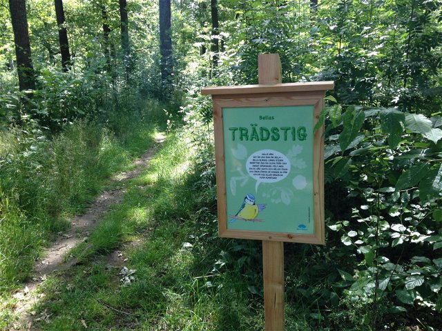
 Children's adventure
Bella blue tit nature trail, Bondebacka
- Municipality: Motala
- 6642.61 km away from you
- 0.2 km
