



Nävekvarn - Lilla Uttervik, Sörmlandsleden, etapp 37
- Hiking
- Near parking
- Near Public Transport
- Near toilet
- County: Södermanlands län
- 6814.61 km away from you
Trail details
- Length 6.5 km
- Difficulty Red - demanding
Actions
Description
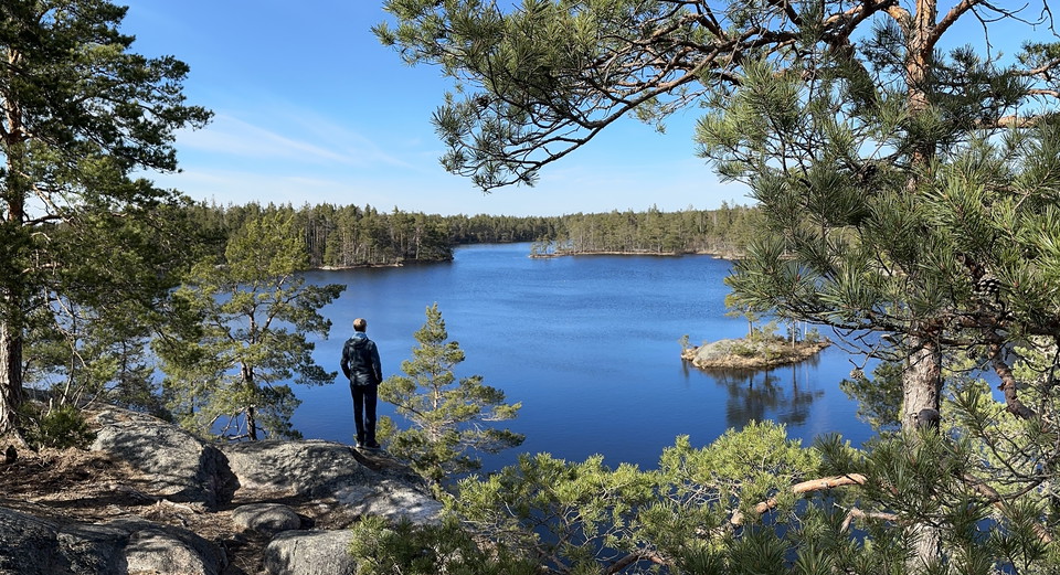
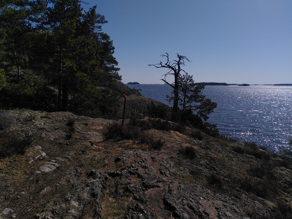
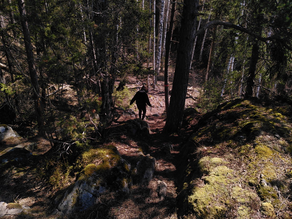
The stage begins with a hike on the road for about 1.5 km before climbing steeply up Fyrberget - one of several fine viewpoints overlooking Bråviken.
More info at Stage 37 - Sörmlandsleden (sormlandsleden.se)
Activities And Facilities
- Hiking
Accessibility
- Near parking
- Near Public Transport
- Near toilet
Facts
Hiking on the Sörmlandsleden is free. The trail is run by a non-profit organization and it is thanks to its members that the trail can live on. Become a member too! For SEK 200 you become a hero who helps the association to let the trail live on!
Hills
Very hilly.
Contact
Address
Om du vill felanmäla något? Gör gärna din anmälan i vår app "Felanmälan Nyköpings kommun" som du hittar i din appbutik eller via vår hemsida https://nykoping.se/felanmalan
Email address
Kundservice
Organization logotype

Please be aware that some of these texts have been automatically translated.
I’ve been here 4
I want to go here 9
Questions & Answers
Ask a question to other Naturkartan users.
Reviews
0 reviews
- 5 :
- 4 :
- 3 :
- 2 :
- 1 :
Users images
No user images yet. Be the first to share!