
Kalmar län och Öland
Best hiking trails in Kalmar län och Öland
Naturkartan samlar de vandringslederna i Kalmar län och Öland som är populärast bland våra användare.
Map
440 Best hiking trails in Kalmar län och Öland
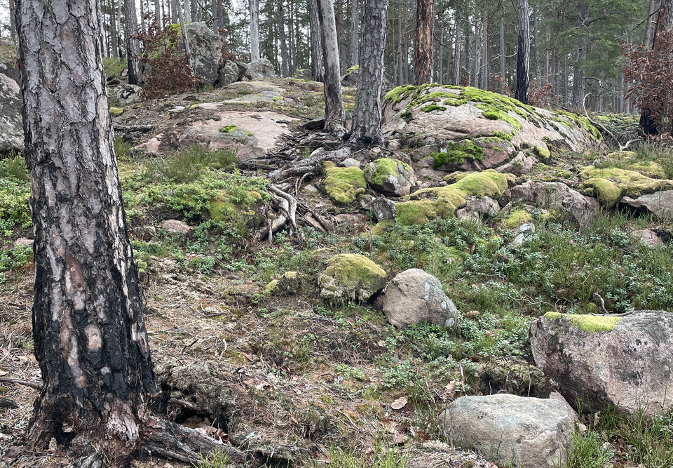

Stora Ekenäsrundan
- Municipality: Nybro
- 6868.17 km away from you
- 2.7 km
- Difficulty: Green
Great Ekenäs Roundabout
Allgunnenleden
- Municipality: Nybro
- 2.5 km
- Difficulty: Blue
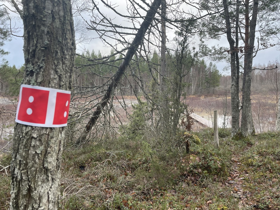
This trail takes you from the Ekenäs parking lot all the way up to the outdoor museum at Norrskogen. It is not a loop but it is entirely possible to connect to several of the other trails in the area.
Kulturstig Slakmöre - Nyttorp
- Municipality: Kalmar
- 6893.01 km away from you
- 20.9 km
- Difficulty: Blue
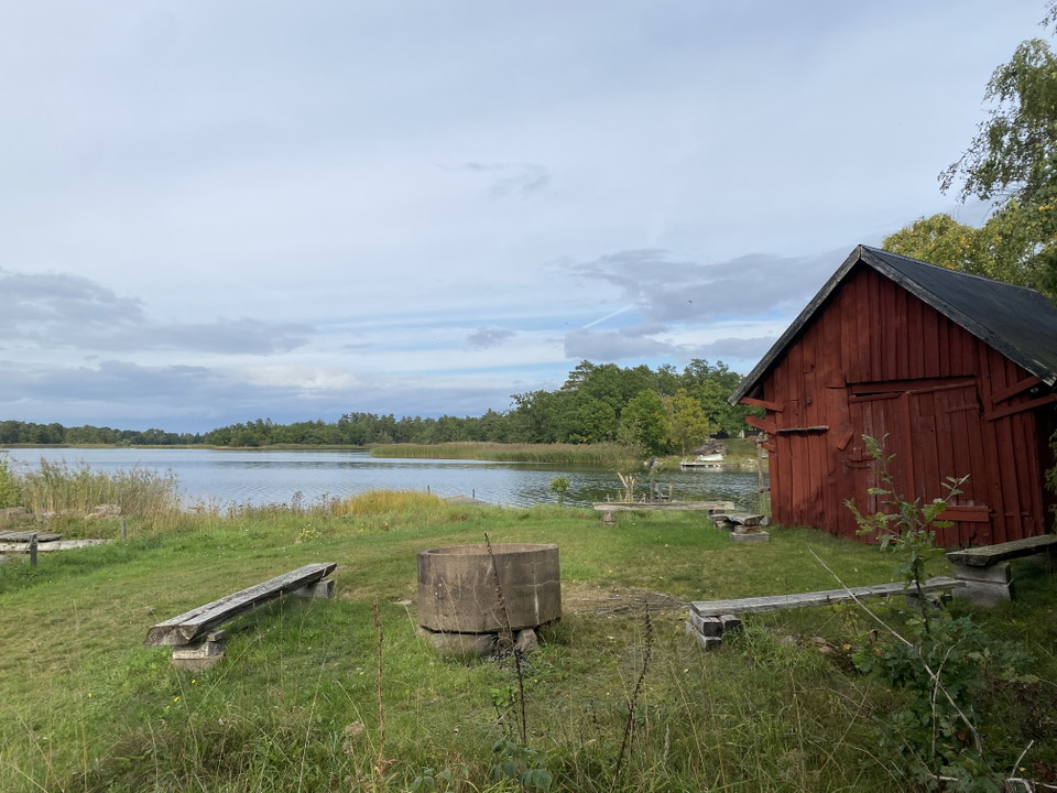
Slakmöre village farm association
Rundslinga Värnanäs - Stufvenäs
- Municipality: Kalmar
- 5.4 km
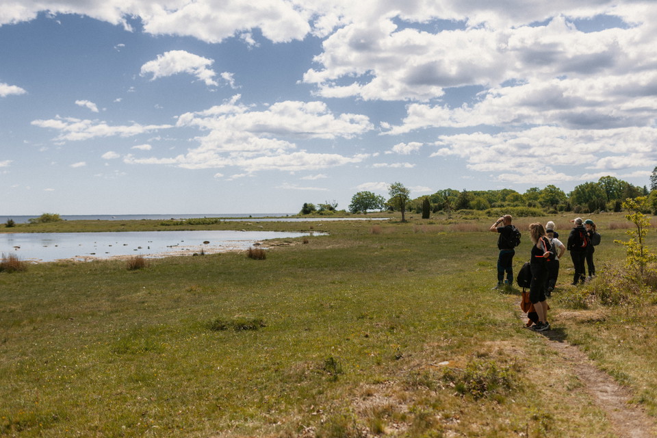
This easy hike is perhaps the finest circular trail in Kalmar municipality with the most varied natural landscape. From rich lands you are led through a varied natural landscape along the coast out on beautiful beach meadows, past seal colonies out in the s…
Anslutningsled mellan Törnsvall och Västervik, Tjustleden etapp 4
- Municipality: Västervik
- 6844.78 km away from you
- 14.6 km
Klockslätten-Kristkällan
- Municipality: Borgholm
- 0.5 km
- Difficulty: Blue
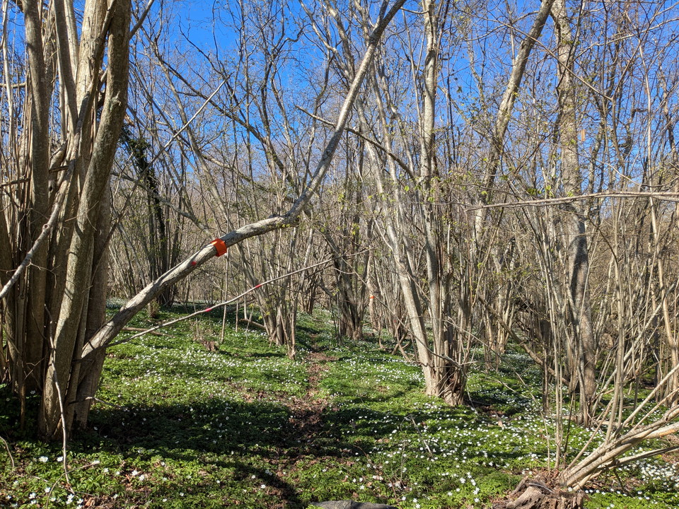
A slightly wooded path between Klockslätten and Kristkällan in the Prästhag area.
Aboda Klint – Blue Loop
- Municipality: Högsby
- 2.3 km
- Difficulty: Red
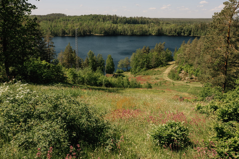
The Blue Loop is a shorter hike in the Aboda Nature Reserve, perfect for those who want to experience the area’s forest environments and the proximity to Aboda Cliff on a moderate hike. The reserve is dominated by mixed coniferous forest with spruce and pin…
Emigrant Trail, Stage UL3: Moshult – Långasjö – Part of the Smålandsleden Trail Network
- Municipality: Emmaboda
- 18.0 km
- Difficulty: Blue
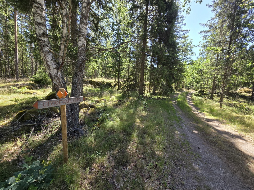
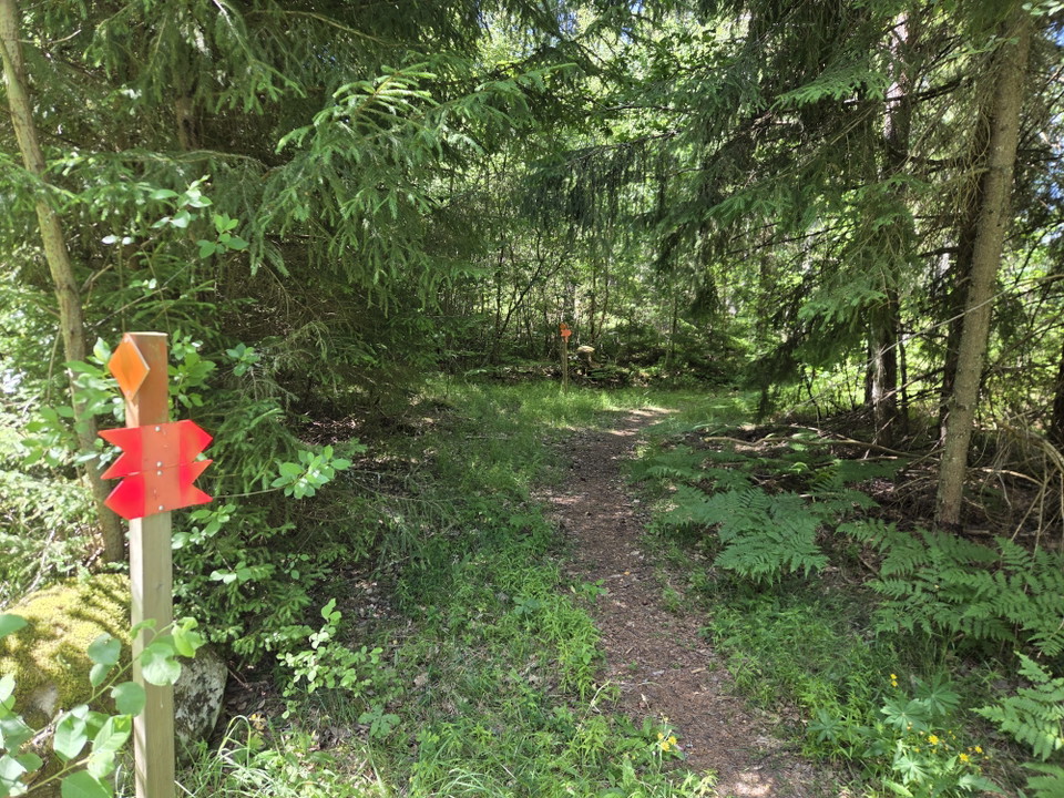
About the Emigrant Trail Through forests and meadows, past cottages and stone walls, this 110-kilometre-long hiking trail winds its way through the landscape. The trail alternates between footpaths, forest roads, gravel roads, and smaller paved roads, follo…
Emigrant Trail, Stage UL4: Långasjö – Yxnanäs – Part of the Smålandsleden Trail Network
- Municipality: Emmaboda
- 21.0 km
- Difficulty: Blue
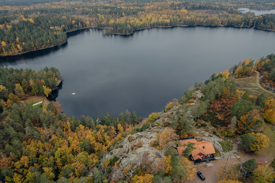
About the Emigrant Trail Through forests and meadows, past cottages and stone walls, this 110-kilometre-long hiking trail winds its way through the landscape. The trail alternates between footpaths, forest roads, gravel roads, and smaller paved roads, follo…
Aboda Klint – Red Loop
- Municipality: Högsby
- 4.5 km
- Difficulty: Blue
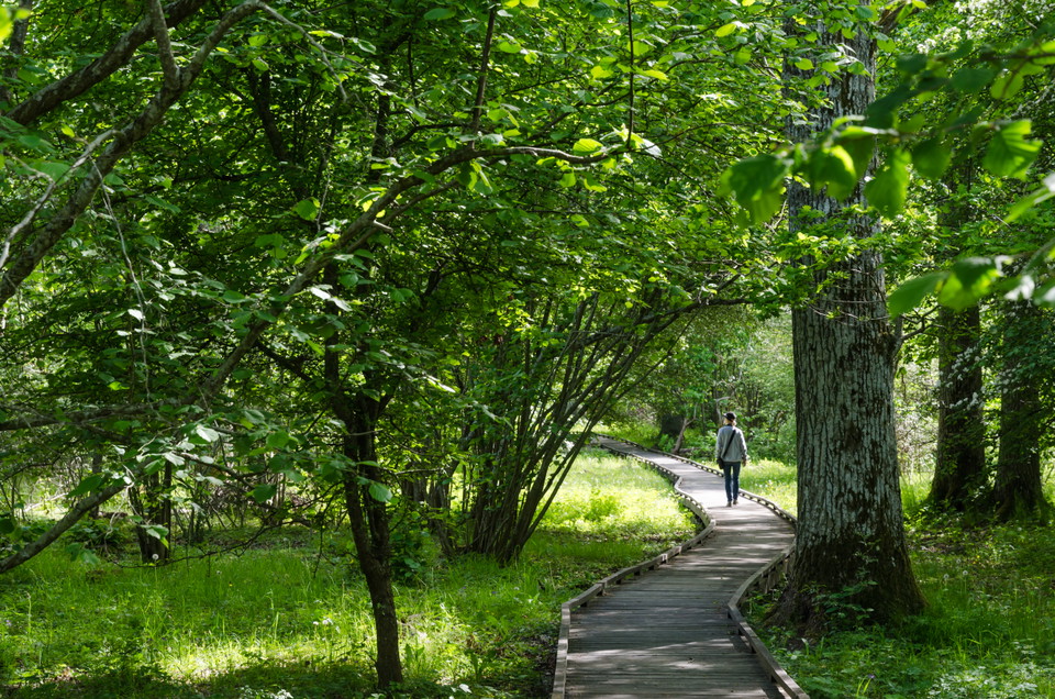
The Red Loop takes you on a slightly longer hike through the Aboda Nature Reserve and the area around Aboda Klint. Here you’ll encounter a varied landscape featuring forests, mountains, lake views, and open fields. The highlight is Aboda Klint, a spectacula…

Halltorps Hage - Spången
- 0.6 km
Att göra: Vandra/promenera Tillgänglighet: Nära parkering Längd: 0,7 km Sevärdhet: Artrikt område Kontaktuppgifter: Länsstyrelsen Kalmar län, Tel: 010-223 80 00, www.lansstyrelsen.se/kalmar Bra att veta: Här finns skyltar med information, parkering, toalett…
Best hiking trails in Kalmar län och Öland
Naturkartan samlar de vandringslederna i Kalmar län och Öland som är populärast bland våra användare.
