New!

Now you can share photos on Naturkartan! 📸

Read more

Best hiking trails in Linköping

Linköping

Naturkartan samlar de vandringslederna i Linköping som är populärast bland våra användare.

Images

Map

51 Best hiking trails in Linköping

Hiking

Bjänleden

  • Municipality: Linköping
  • 6755.75 km away from you
  • 8.2 km

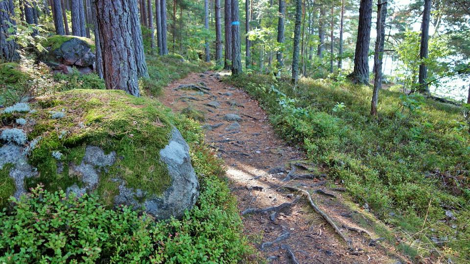
Vandringsleden är ungefär åtta kilometer lång och tar dig längs vackra skogsvägar och slingrande torparstigar runt sjön Bjän. Längs leden passerar du lämningar efter gamla torp och backstugor, kvarnar, kolarkojor och sågar. Vill du lära dig mer finns inform…
Hiking

Viggebyleden

  • Municipality: Linköping
  • 6779.47 km away from you
  • 8.2 km

The hiking trail takes you to the most beautiful places on the Viggeby Peninsula. The trail is marked with signs and blue color markings and consists of several loops. It partly follows the Östgötaledens route through the reserve.

Hiking

Rådslaleden

  • Municipality: Linköping
  • 6754.37 km away from you
  • 4.3 km

Den trolska Rådslaleden ligger djupt inne i skogarna norr om Roxen. Leden är drygt 4 kilometer lång och tar dig runt Hallsjön och dess vackra omgivningar. Längs stigen passerar du spännande lämningar efter 1700-talets järnhantering. Vill du lära dig mer fin…

Hiking

Rosenkällastigen

  • Municipality: Linköping
  • 6769.39 km away from you
  • 3.8 km

If you want to see more of Lake Rosenkällasjön and the beautiful surroundings, Rosenkällastigen is a good option. The hiking trail is 3.8 kilometers long and goes around the lake. The northern and eastern parts are partly on paths that can be a little diffi…

Hiking

Tinneröstigen

  • Municipality: Linköping
  • 6767.99 km away from you
  • 13.7 km

The red-marked hiking trail takes you to some of the nature reserve's absolute finest gems. The trail consists of two interconnected circular loops and partly follows the orange-marked Östgötaleden. The northern loop is 4.3 kilometers and goes through Dompr…

Hiking

Landeryds hembygdsled

  • Municipality: Linköping
  • 6774.36 km away from you
  • 6.0 km

Hembygdsleden takes you past exciting remains in the beautiful cultural landscape around Landeryd. The trail starts from the local park and goes past Landeryd's golf club, Slattefors lock and Landeryd's church. You can go south and cross the Stångån river a…

Hiking

Vidingsjö - Hovetorp, Östgötaleden

  • Municipality: Linköping
  • 12.7 km

This stage of the Östgötaleden trail is relatively easy to walk and follows paths and small roads from Vidingsjö exercise center to Hovetorp. The trail goes through Vidingsjöskogen, Ekängsdalen, Ullstämmaskogen and past the wetlands at Ullaberg. It then con…

Hiking

Leden vid Kärna mosse

  • Municipality: Linköping
  • 6762.60 km away from you
  • 1.6 km

The hiking trail consists of a 1.6 kilometer long loop that takes you around Kärna bog. Along the loop there are several detours towards the open marsh. You can reach the loop via one of the connecting paths, for example from the reserve's northern and sout…

Hiking

Den långa Askaleden

  • Municipality: Linköping
  • 6767.22 km away from you
  • 4.2 km
  • Difficulty: Blue

In nature's own spiritual space, there is an opportunity for breathing and recreation with seating for rest, reflection and coffee. There's also a barbecue area for those who want to brighten up their hike with some sausage grilling. Along the trail there a…

Hiking

Hälsans stig - Linköping

  • Municipality: Linköping
  • 6767.55 km away from you
  • 6.2 km

The path runs in a loop around Stångån from Nykvarn lock to Tannefors lock

Hiking

Vandringsleden genom Motala ströms ravin

  • Municipality: Linköping
  • 6753.77 km away from you
  • 3.0 km

An exciting hiking trail runs through the long nature reserve Motala ströms ravin. It takes you all the way from the entrance in the east at the community Ljungsbro to the entrance Ljungsjön in the west. The first part is accessible. This means that it is p…

Hiking

Vandringsleden i Säby Västerskog

  • Municipality: Linköping
  • 6783.41 km away from you
  • 1.4 km

The Östgötaleden trail passes through the Säby Västerskog nature reserve. Along the trail, you can choose to make a detour onto the primeval forest trail, a 0.6-kilometer loop through the old-growth forest east of the Östgötaleden trail. Together with the Ö…

Hiking

Tokorpsleden

  • Municipality: Linköping
  • 6756.26 km away from you
  • 2.5 km

The hiking trail takes you through the varied nature of the reserve. The trail consists of a longer eastern loop and a slightly shorter western one. The eastern one goes through the rolling farmland with oak hills and open pastures and passes a spring with…

Hiking

Berg - Trädgårdsföreningen, Östgötaleden

  • Municipality: Linköping
  • 14.0 km

The Östgötaledens stage between Berg and Trädgårdsföreningen follows the pedestrian and cycle paths across the östgötaslätten and further along the Stångån and Kinda canal into central Linköping. It is easy to walk, with mainly good accessibility for the di…

Hiking

Ycke urskogsled

  • Municipality: Linköping
  • 6772.24 km away from you
  • 0.8 km

Ycke Urskogsled takes you through one of the wildest forests in the county. The marked trail is 0.8 kilometers long and a bit demanding to walk. Parts of the route follow Östgötaleden. If you want to extend the hike, you can continue the Östgötaleden trail…

Best hiking trails in Linköping

Naturkartan samlar de vandringslederna i Linköping som är populärast bland våra användare.

Naturkartan

Open this in the app