
Tokorpsleden
- Hiking
- County: Östergötlands län
- 6756.26 km away from you
Trail details
- Length 2.5 km
Actions
Description
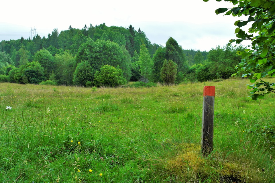
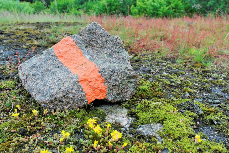
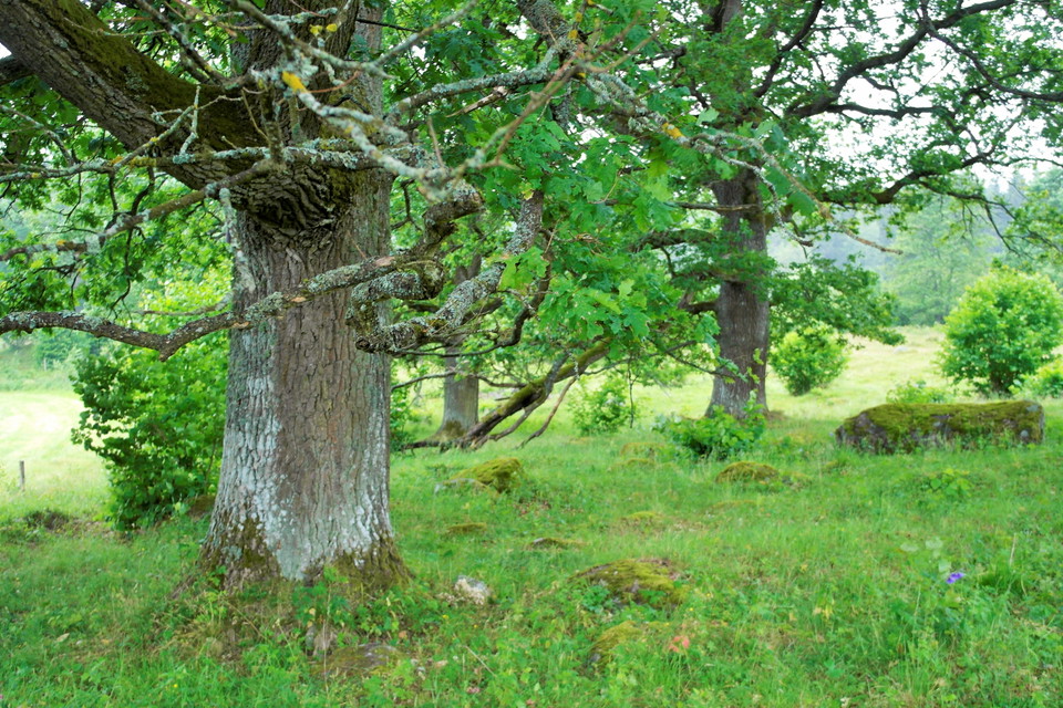
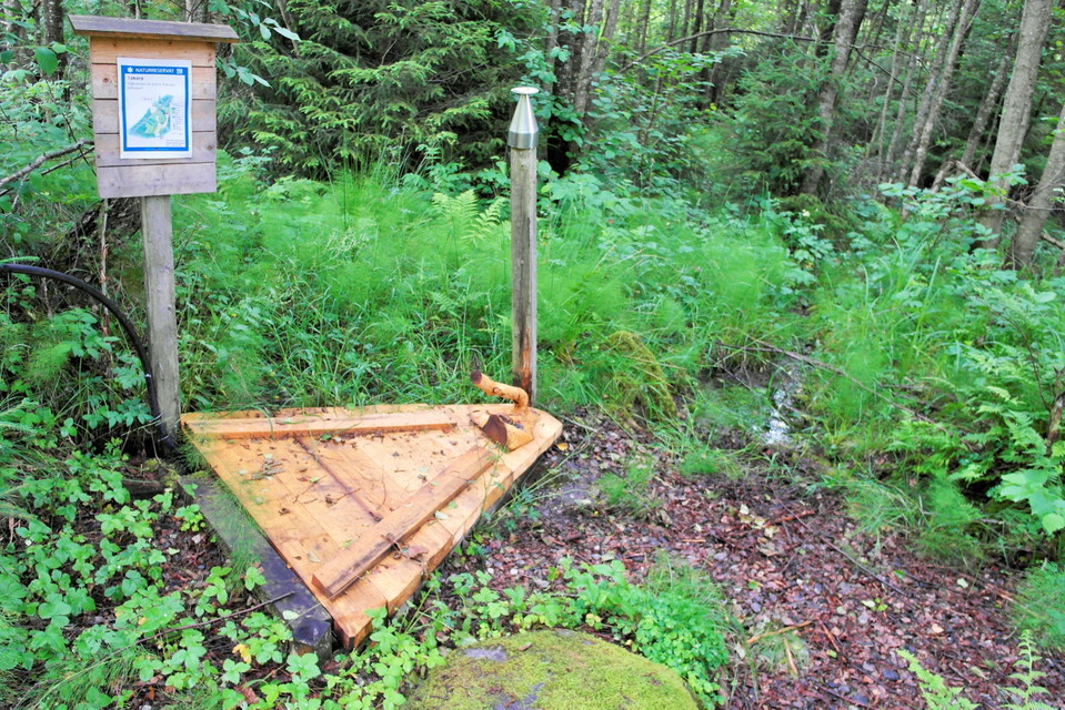
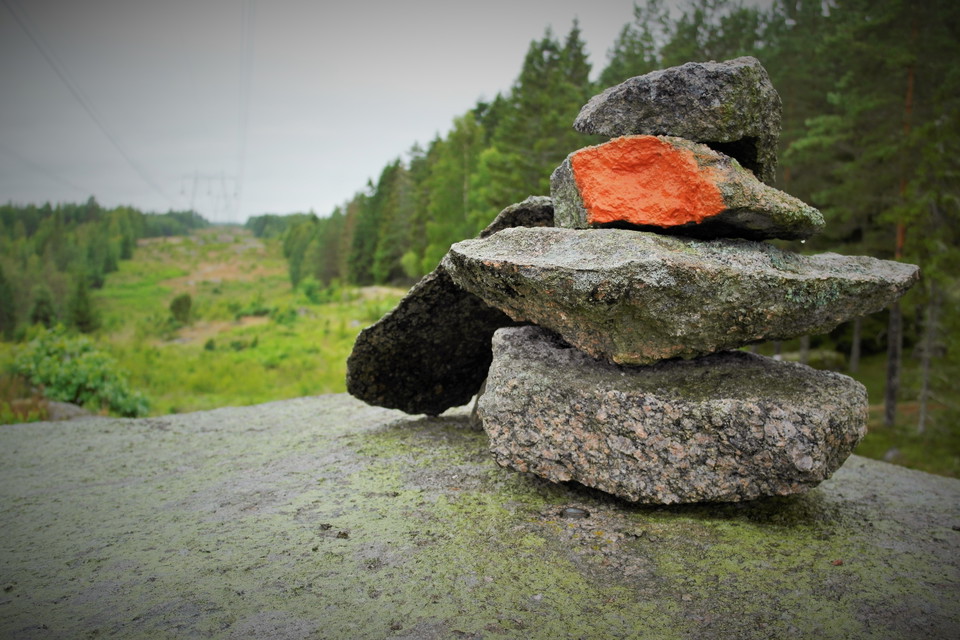
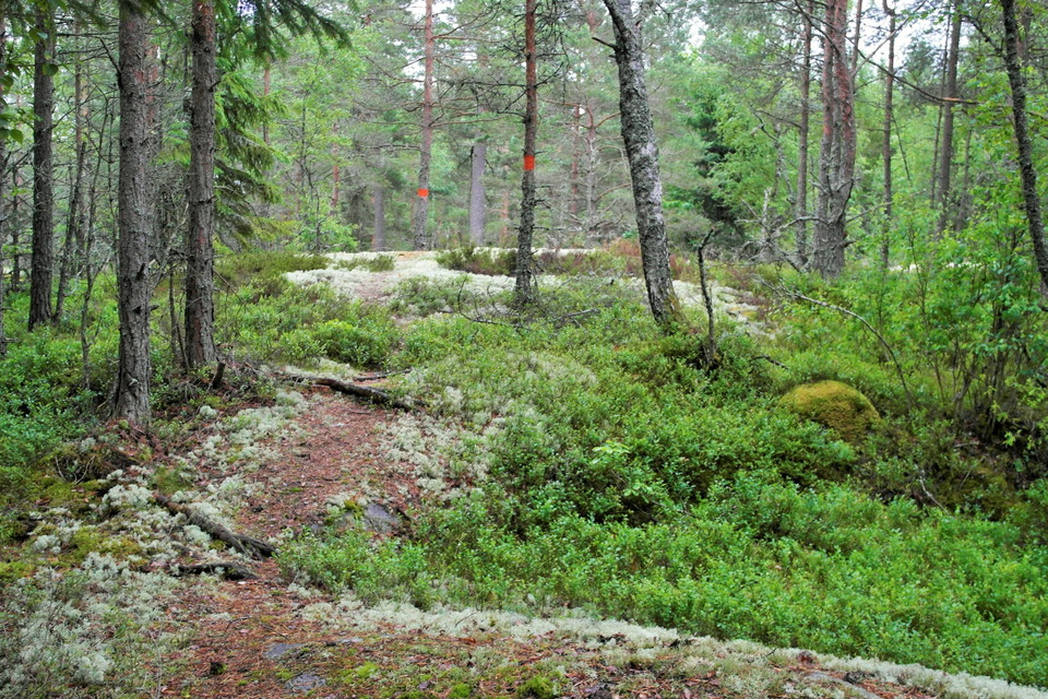
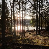
The hiking trail takes you through the varied nature of the reserve. The trail consists of a longer eastern loop and a slightly shorter western one. The eastern one goes through the rolling farmland with oak hills and open pastures and passes a spring with drinkable water. The other heads west over a coniferous wooded hill. Here there is a short detour to a viewpoint in the power line corridor. The entire trail is 2.5 kilometers long and marked with orange paint.
Activities And Facilities
- Hiking
Downloads
Contact
Address
Kontakta oss om du har frågor om något på Naturkartan Linköping.
Email address
Naturgruppen
Organization logotype

Please be aware that some of these texts have been automatically translated.
I’ve been here 14









I want to go here 39







Questions & Answers
Ask a question to other Naturkartan users.
Reviews
0 reviews
- 5 :
- 4 :
- 3 :
- 2 :
- 1 :
Users images
No user images yet. Be the first to share!
