
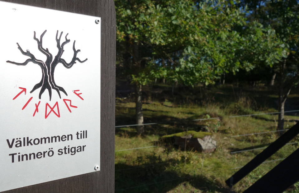
Tinneröstigen
- Hiking
- County: Östergötlands län
- 6767.99 km away from you
Trail details
- Length 13.7 km
Actions
Description
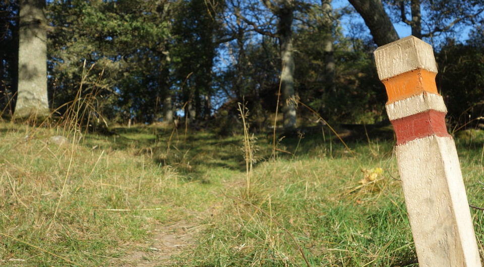
The red-marked hiking trail takes you to some of the nature reserve's absolute finest gems. The trail consists of two interconnected circular loops and partly follows the orange-marked Östgötaleden. The northern loop is 4.3 kilometers and goes through Domprostehagen, Granhagen and around Smedstad storäng. The southern loop is 8.5 kilometers and rounds Rosenkällasjön in the south and goes through the most beautiful parts of Tinnerö meadows. There are also blue-marked connecting trails from the reserve's parking lots. The trail is marked with low oak posts.
Activities And Facilities
- Hiking
Directions
In the north, Karleplan is a good starting point. By public transport, take line 2, 4 or 18 and get off at Djurgården stop. There is also a parking lot for visitors with cars, which you can reach via Infanterigatan and Kunskapslänken. Tinneröstigen is located south of the football pitches. After 500 meters you reach the northern loop.
In the south, Rosenkälladämmet is a good starting point. You reach it via Haningeleden. Take off at the height of Korpvallen's football pitches in Vidingsjö. Here it is signposted towards Rosenkällasjön and Kolbyttemon. Follow Rosenkällavägen for 1.5 kilometers and then turn right towards Tinnerö. Continue for two kilometers until you see the entrance to Rosenkälladämmet on the left.
Downloads
Contact
Address
Kontakta oss om du har frågor om något på Naturkartan Linköping.
Email address
Naturgruppen
Organization logotype

Please be aware that some of these texts have been automatically translated.
I’ve been here 61

















I want to go here 96


















Questions & Answers
Ask a question to other Naturkartan users.
Reviews
Users images
No user images yet. Be the first to share!

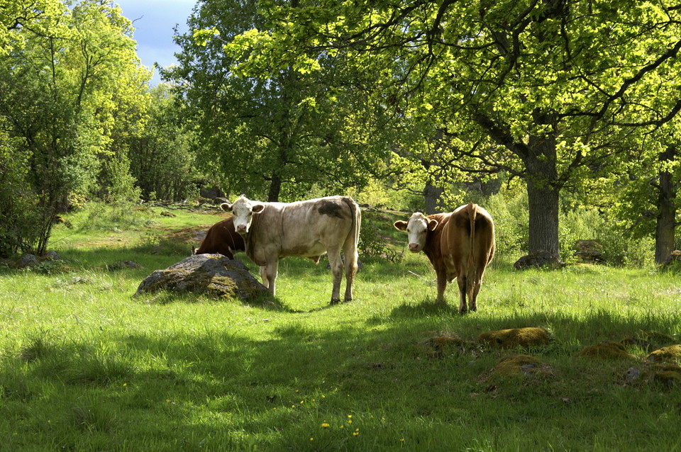
superfin runda på ca 15 km genom skog och hage. en varning dock, om du har problem att gå i hade med får eller kor nära inpå så är denna Stig inte för dig under sommarsäsongen.