Trail, Puolvakojan hut, Kronogård
- Municipality: Jokkmokk
- 6518.04 km away from you
- 2.2 km
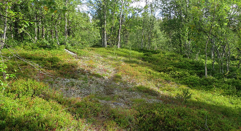
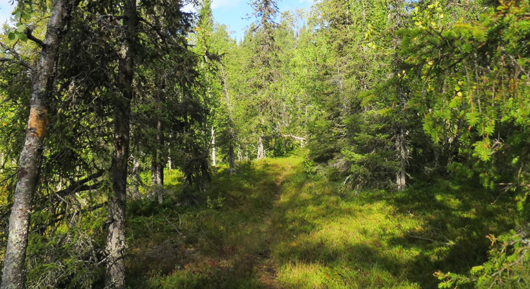
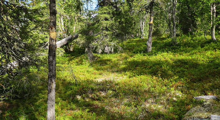
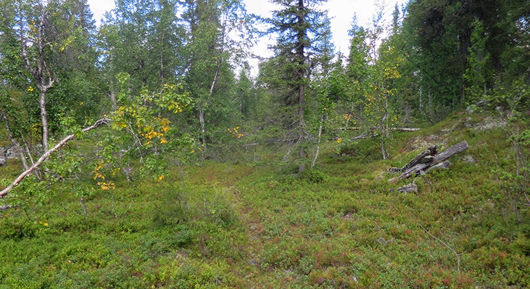
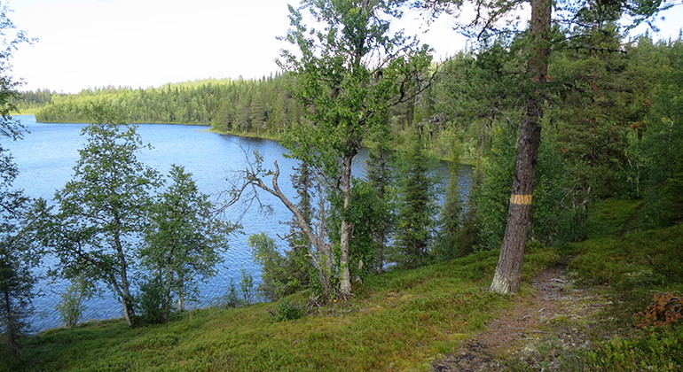
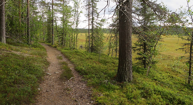
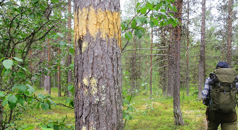
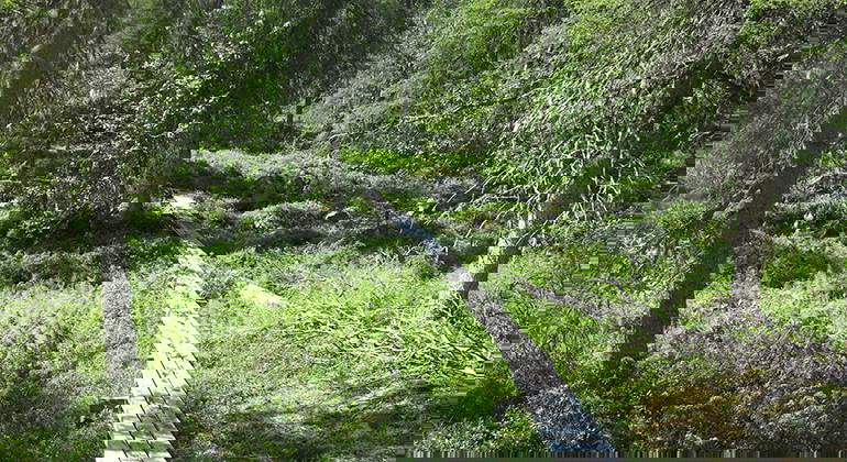
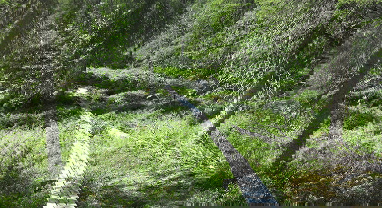
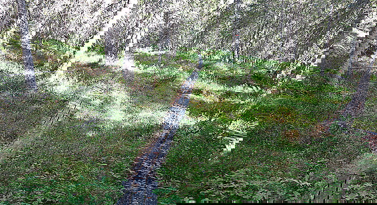
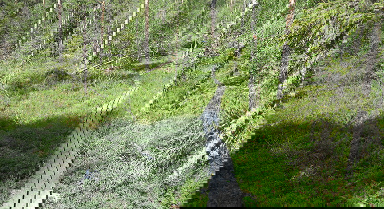
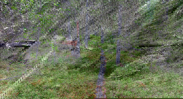
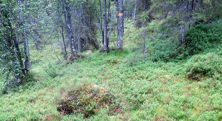
A 2.2 kilometres long trail to "Puolvakojan".

Jokkmokk
Naturkartan samlar de vandringslederna i Jokkmokk som är populärast bland våra användare.
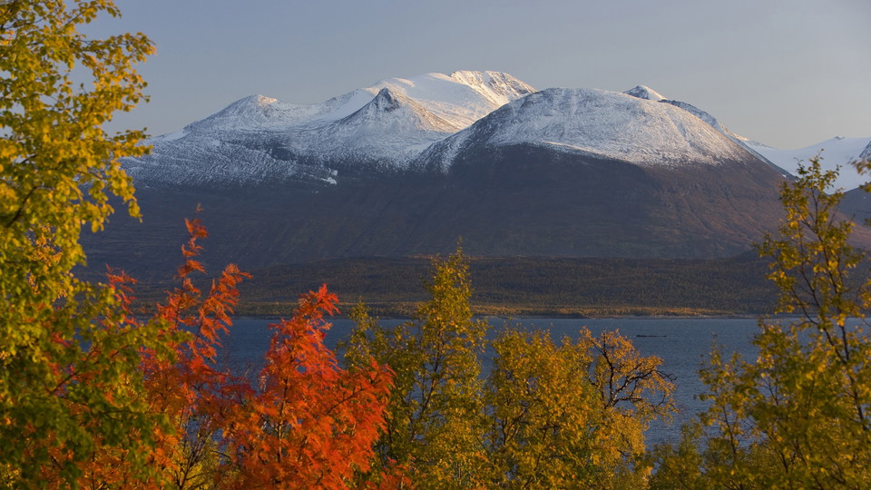
A 2.2 kilometres long trail to "Puolvakojan".
A 1.3 kilometres long trail up to Rahanåive mountain, where there is a nice view over the surroundings.
An 800 metres long trail to the dilapidated Njallape hut and the Njallape mire.
A 1 kilometre long trail that is a short cut between two other trails.
A 3 kilometres long trail that will be renovated by the County Administrative Board during 2019.
A 5.2 kilometres long trail in a loop east of lake Njallajávrre and around two other lakes before turning back to the parking lot. From this trail you can reach the trail up to Rahanåive mountain.
A 6 kilometres long trail that is also a four wheel road.
A 7,3 kilometres long trail that goes in a loop in the northern part of Kronogård. The trail is being renovated during 2019.
A 500 metres long, wheel-chair accessible trail to Slakkasjön. The trail has a plankway and rails. There are some gaps in the plankway where you have to continue on a path on forest ground for approximately 10 metres. These parts of the trail will be fixed…
A trail to lake Gåsmyrtjärn. The trail is marked with orange colour and has some plankways over wet areas.
The eastern trail to lake Gåsmyrtjärn. The trail is marked with orange paint on the trees.
A 3,6 kilometres long trail. This trail is connected to other trails in the area.
A trail to lake Ammatjärn.
A trail around lake Roanntjájaure. This trail connects with the trail Roantjásvárre.
Naturkartan samlar de vandringslederna i Jokkmokk som är populärast bland våra användare.