
-
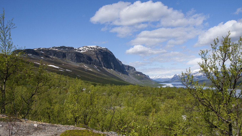
Lulep Gierkav.
Photo: Tor Tuorda -
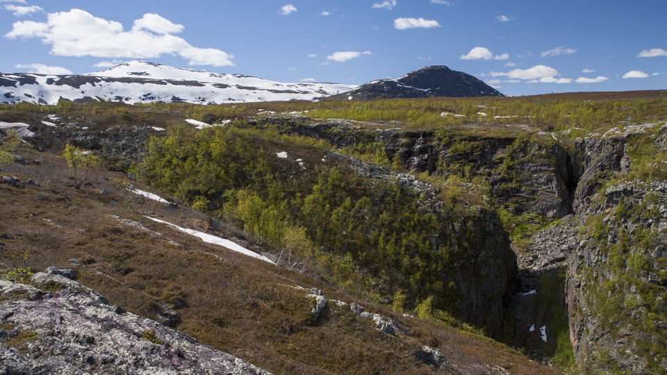
Áhusjgårsså.
Photo: Tor Tuorda -
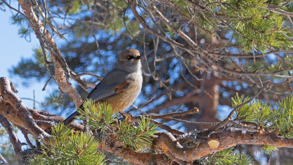
Siberian Jay.
Photo: Göran Wallin
Bietsávrre-Saltoluokta
- Hiking
- County: Norrbottens län
- 6414.44 km away from you
Trail details
- Length 6.0 km
Actions
Description
The trail starts at the Sámi settlement on the east shore of Lake Bietsávrre. A distinct trail leads from the settlement to Saltoluokta mountain station. Enjoy the view of Lake Láŋas and Lulep Gierkav mountain on your way down. The trail joins the King’s Trail one kilometre before the mountain station.
The Sámi settlement offers boat transport across Lake Bietsávrre, refreshments and accommodation. You find information about opening hours among other things on the Pietsaure Sijddas website.
The trail is maintained by Laponiatjuottjudus.
Duration: 2-3 hours
Activities And Facilities
- Hiking
Surface
Easily-hiked surface, but a big altitude difference (over 300 vertical metres).
Communications
You get to Kebnats by car or bus via the big road between Gällivare and Ritsem. There are daily bus connections during the season, and a car park at Kebnats. From Kebnats there are daily boat rides across Lake Langas to Saltoluokta Mountain Station.
Länstrafiken Norrbotten website (bus and coach operator) The boat M/S Langas (Swedish Tourist Association website)
Contact
Email address
Länsstyrelsen Norrbotten
Organization logotype

I’ve been here 6


I want to go here 25


Questions & Answers
Ask a question to other Naturkartan users.
Reviews
0 reviews
- 5 :
- 4 :
- 3 :
- 2 :
- 1 :
Users images
No user images yet. Be the first to share!
