Pårte-Kvikkjokk, The King's Trail
Hiking
- County: Norrbottens län
- 7572.73 km away from you
Trail details
- Length 17.0 km
Actions
Description
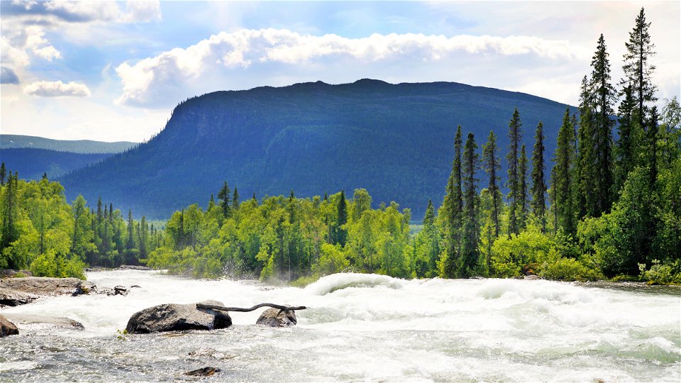
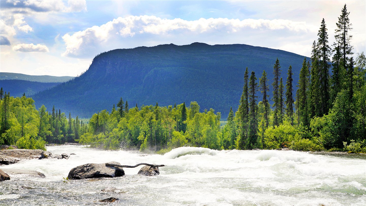
You hike through montane forest for the whole stretch. The trail is mostly easy to walk and gradually descends towards Kvikkjokk. There are rockier sections at the beginning of the hike, and for a few kilometres after the trail leaves Lake Stuor Dáhta. This stretch along the lake is beautiful, with views of the Tarrekaise massif among other things. A few kilometres before Kvikkjokk the trail passes the Tingstall Stone (Diggehájkgallo), an ancient counsel site. On the very last section, the King’s Trail follows a gravel road. Hikers on the King’s Trail on their way north, from Kvikkjokk to Pårte, sometimes miss the turning off the gravel road. So pay attention to the signposting at the beginning if you are hiking towards Pårte.
There are tent pitches along the whole stretch.
Duration: 5-8 hours
Activities And Facilities
-
Hiking
Surface
Easily hiked stage except for the first section and a few kilometres after Lake Stuor Dáhta, where it is rocky. Quite a lot of plankways along the trail.
Communications
You get to Kvikkjokk by car or bus. There are daily bus connections between Jokkmokk and Kvikkjokk during the season. There is a car park at the start of the trail.
Contact
Email address
Länsstyrelsen Norrbotten
Organization logotype

Questions & Answers
Ask a question to other Naturkartan users.


