-

Photo: Göran Wallin -
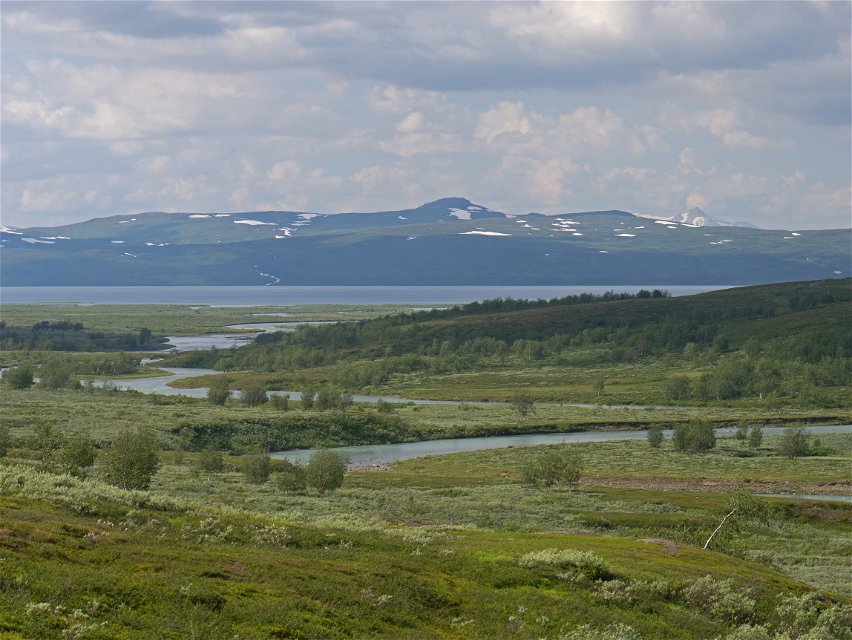
Photo: Göran Wallin

Kutjaure-Låddejåhkå, The Arctic Trail and the Padjelanta Trail
Hiking
- County: Norrbottens län
- 7615.41 km away from you
Trail details
- Length 17.0 km
Actions
Description
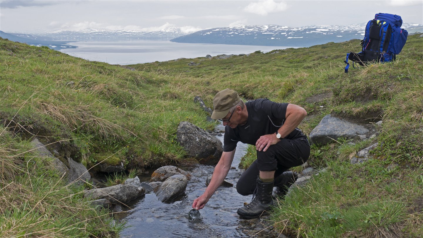
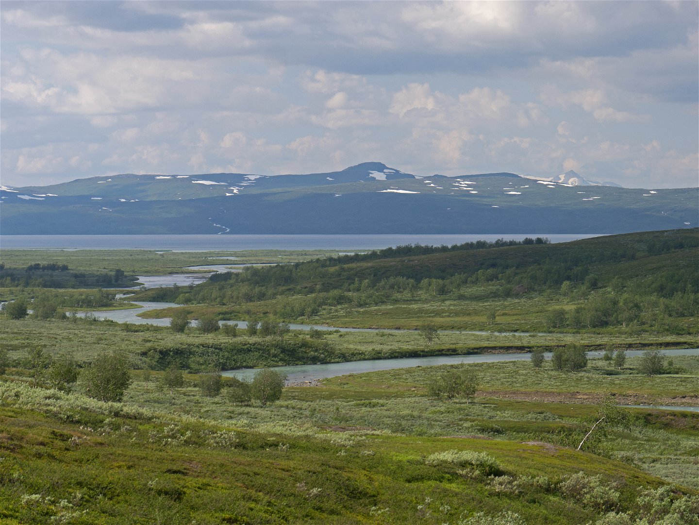
You begin the hike by crossing Sieberjåhkå stream via a suspension bridge. Once across the bridge you are in Padjelanta/Bádjelannda National Park. The trail continues over brush-covered mountain moor on the vast Skäjdda plateau. Species growing here include dwarf birch and willow. Plankways make it easier to walk over wet areas. After a gradual descent and passage through a reindeer fence, the trail reaches the watercourse Varggá. Three suspension bridges lead over Varggá and the river, Vuojatädno. The last ridge is 100 m long and can be seen from far off. On the south side of the river you join the Padjelanta Trail, which you follow for 11 km, as far as the Låddejåhkå cabins. The trail leads upwards along the slope of Loadásj mountain. The trail passes tall willow brush, grassy pastures with highly varied flora and easily-hiked moorland, with plankways across wet stretches. The view of Lake Vastenjaure is magnificent. You pass a reindeer enclosure and then follow a few easy wades. A steep, arduous downhill slope leads to the cabins. Just before the cabins, the trail passes a reindeer fence which marks the boundary between the Sámi communities of Sirges and Jåhkågasska.
There are good tent pitches just south of the Kutjaure cabin and on the island at the bridges that cross Vuojatädno River. It is also possible to find sites for camping on the moorland near the streams along the trail.
The trail is maintained by Laponiatjuottjudus.
Duration: 6-8 hours
Activities And Facilities
-
Hiking
Surface
Varied surface. Easily-hiked moorland, grassy pastures and willow brush. Wet stretches with plankways.
Contact
Email address
Länsstyrelsen Norrbotten
Organization logotype
![]()
Questions & Answers
Ask a question to other Naturkartan users.
