
Åvaträskslingan, 5 km
- Hiking
- County: Stockholms län
- 6860.11 km away from you
Trail details
- Length 4.7 km
Actions
Description
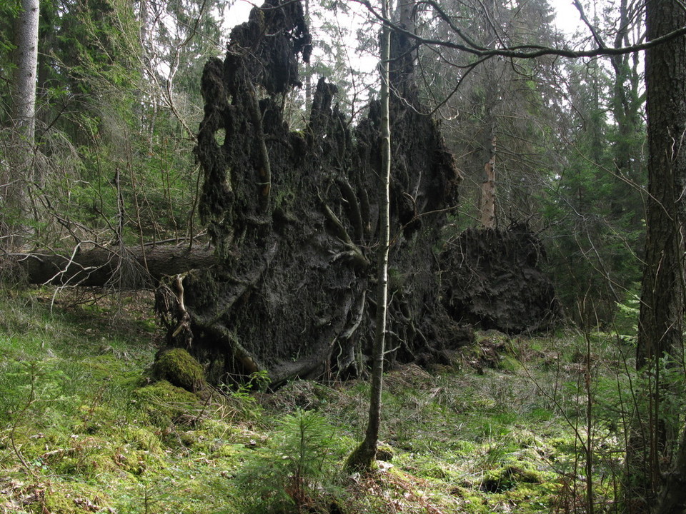
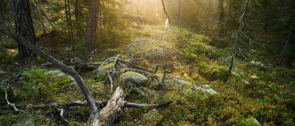
Åvaträskslingan runs through an exciting part of nature, where in 2002 a forest fire broke out after lightning struck a spruce tree and caused a smouldering fire. It was not until two weeks later that the open fire broke out. The trail surrounds this fire, and offers both rocky outcrops and crevice valleys.
Activities And Facilities
- Hiking
Directions
Starting point parking lot Fiskfällan. Fiskfällan is located 11 km into Åvavägen from Dalarövägen. Then follow signs towards Åvaträskslingan, past Åva camping.
Contact
Address
Tyresta Nationalpark
Email address
Naturum Nationalparkernas hus
Organization logotype

Please be aware that some of these texts have been automatically translated.
I’ve been here 32















I want to go here 39











Questions & Answers
Ask a question to other Naturkartan users.
Reviews
4 reviews
- 5 :
- 4 :
- 3 :
- 2 :
- 1 :
Trevlig liten slinga. Lagom för dagsutflykt eller för en längre tur, från Tyresta, via denna led och sen tillbaka via Kustleden.
Users images
No user images yet. Be the first to share!





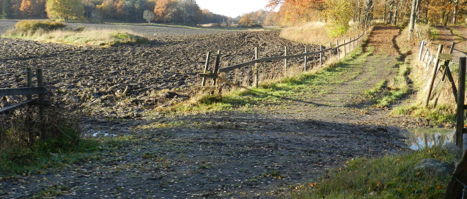

trevlig slinga! fin terräng, bra underlag hela vägen! lagom lång rundslinga 👍🏼😊