
Hornåbergs badplats-Blomfors
- Paddling
- County: Östergötlands län
- 6805.60 km away from you
Trail details
- Length 2.9 km
Actions
Description
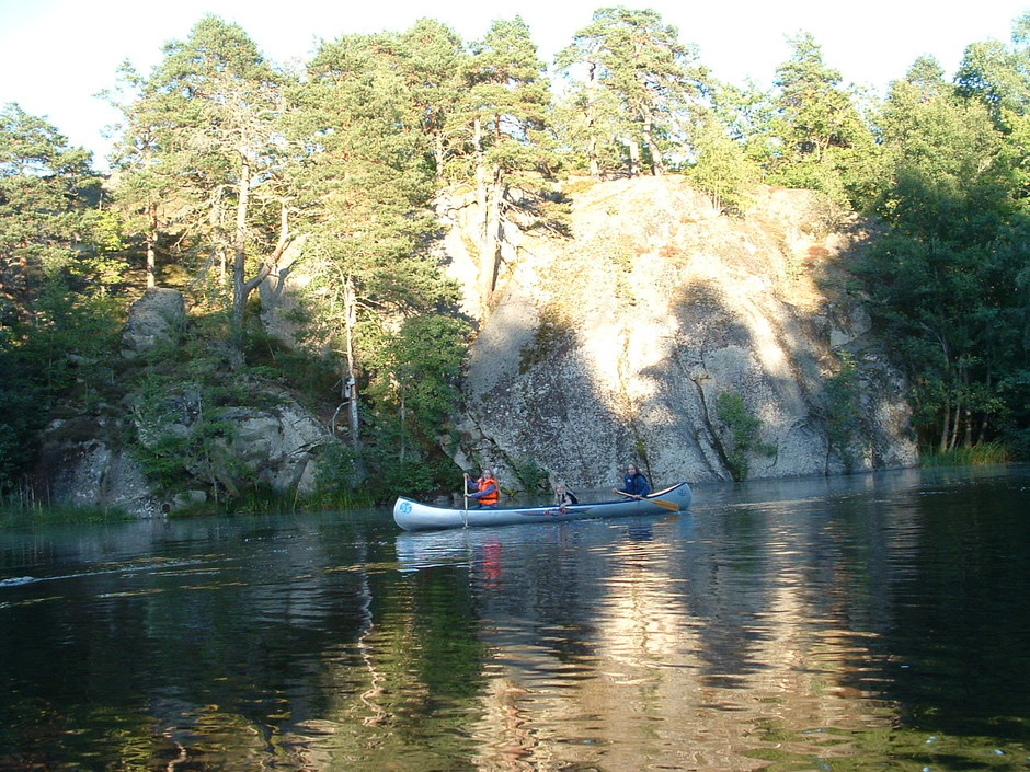
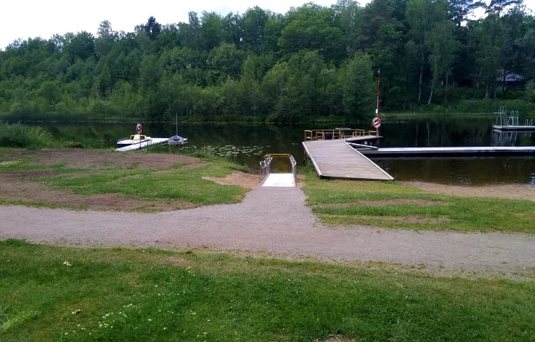
At the landing place next to the power plant there is a shelter suitable for a stage rest. This stretch runs along the winding southern winding part of Stångån and you also pass Hornåbergs camping. At Blomsfors a canoe lift awaits.
Take note of the weather and any fire bans before heading out onto the islands. Fires on rocks are strictly forbidden. Of course, you leave no traces in nature.
For current fire risk forecast see link to application below.
Activities And Facilities
- Paddling
Contact
Address
Kinda kommun
Stora Torget 5
KISA
Email address
Kultur och Fritid, Kinda kommun
Please be aware that some of these texts have been automatically translated.
I’ve been here
I want to go here 1

Questions & Answers
Ask a question to other Naturkartan users.
Reviews
0 reviews
- 5 :
- 4 :
- 3 :
- 2 :
- 1 :
Users images
No user images yet. Be the first to share!
