

New!

Now you can share photos on Naturkartan! 📸

Read more

Miniguides

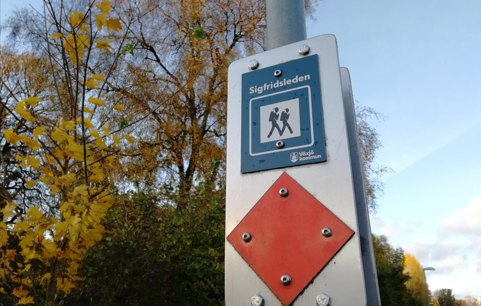
Sigfridsleden - en del av Smålandsleden

The Sigfridsleden Trail is primarily a hiking trail, but it is also suitable for mountain biking if you show great consideration for hikers and the natural environment along the way. The trail is approximately 88 km long, with a 14 km marked connection via…

About Växjö

Naturkartan Växjö (the Växjö Nature Map) provides you with the information that helps you plan your outings to our municipality’s nature reserves, outdoor recreational areas, as well as many other points of interest on land and near our many lakes. This service began in 2017, and presented 32 different nature reserves and several additional green points of interest. As time passes, additional facilities and updated areas information is, and will be, added.

Contacts

Växjö

Municipality guide

+46 (0)47041000

Växjö Naturkarta

Open this in the app