
-
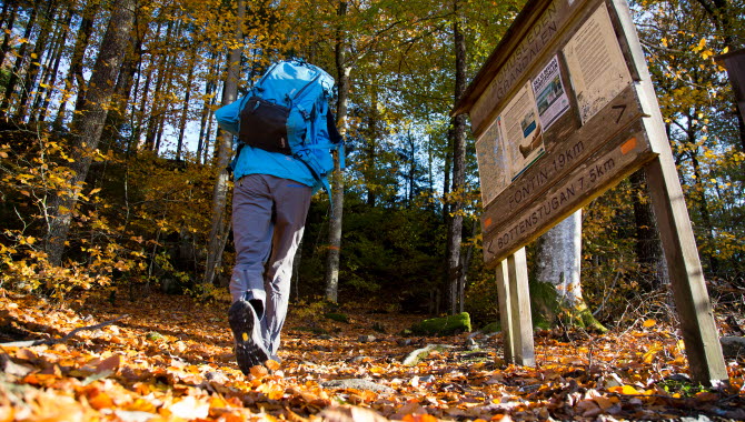
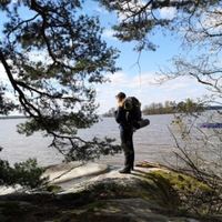
Photo: Västsverige.com
Angereds kyrka - Fontin, Bohusleden, etapp 6
- Hiking
- County: Västra Götalands län
Trail details
- Length 17.3 km
- Time 5 h
- Difficulty Blue - medium
Actions
Description
From the farmland around Angered, you head uphill. You pass Lärjeån and reach Rannebergen and Vättlefjäll. "Vättle" is associated with words like water and wetness - and there are plenty of wetlands and lakes here.
The trail goes through the small community of Bohus and on over the Göta River on the Jordfall Bridge. The Bohus Bridge leads on to Fästningsholmen, with the ruins of Bohus Fortress towering over the centuries.
Feel free to stop and enjoy the atmosphere and environments down in the center of Kungälv before taking the beautiful, but rather stubborn, uphill to Fontin.
Bohusledens consists of 27 stages that offer a total of about 35 miles of varied hiking through Bohuslän's beautiful nature. The trail stretches from Älvsåker in the south, on the border with Halland, to Strömstad in the north.
Activities And Facilities
- Hiking
Please be aware that some of these texts have been automatically translated.
I’ve been here 31







I want to go here 36








Questions & Answers
Ask a question to other Naturkartan users.
Reviews
0 reviews
- 5 :
- 4 :
- 3 :
- 2 :
- 1 :
Users images
No user images yet. Be the first to share!
