Nyhet!

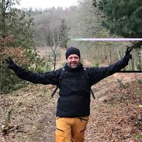
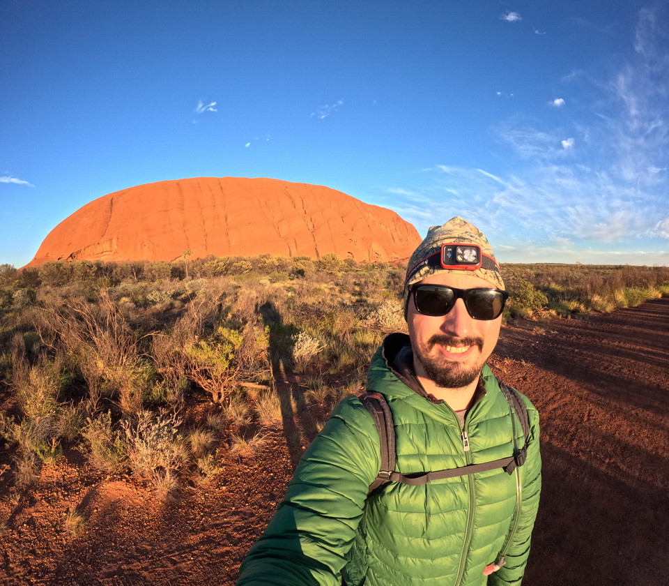
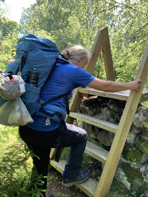
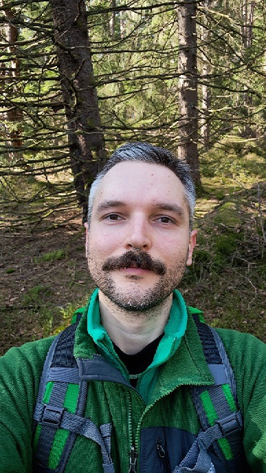
Nu kan du dela dina bilder på Naturkartan! 📸

Læs mere
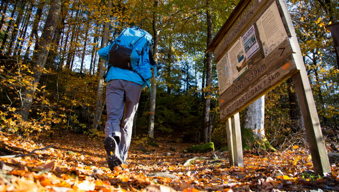
  • Foto: Västsverige.com

Angereds kyrka - Fontin, Bohusleden, etapp 6

  • Vandring
ud af 5 stjerner

Ruteoplysninger

  • Længde 17.3 km
  • Tid 5 t
  • Sværhedsgrad Blå – mellem

Handlinger

  • Rutevejledning

Beskrivelse

From the farmland around Angered, you head uphill. You pass Lärjeån and reach Rannebergen and Vättlefjäll. "Vättle" is associated with words like water and wetness - and there are plenty of wetlands and lakes here.

The trail goes through the small community of Bohus and on over the Göta River on the Jordfall Bridge. The Bohus Bridge leads on to Fästningsholmen, with the ruins of Bohus Fortress towering over the centuries.

Feel free to stop and enjoy the atmosphere and environments down in the center of Kungälv before taking the beautiful, but rather stubborn, uphill to Fontin.

Bohusledens consists of 27 stages that offer a total of about 35 miles of varied hiking through Bohuslän's beautiful nature. The trail stretches from Älvsåker in the south, on the border with Halland, to Strömstad in the north.

Vejrudsigt (kl. 12.00)

Indlæser…

Kom hertil med offentlig transport

Aktiviteter og faciliteter

  • Vandring

Jeg har været her 32
Jeg vil gerne derhen 37

Anmeldelser

—

0 anmeldelser

ud af 5 stjerner

5 :
0.0%
4 :
0.0%
3 :
0.0%
2 :
0.0%
1 :
0.0%

Spørgsmål og svar

Stil et spørgsmål til andre Naturkartan-brugere.

Brugernes billeder

Del dine billeder fra stedet!

Naturkartan

Åbn dette i appen