
-
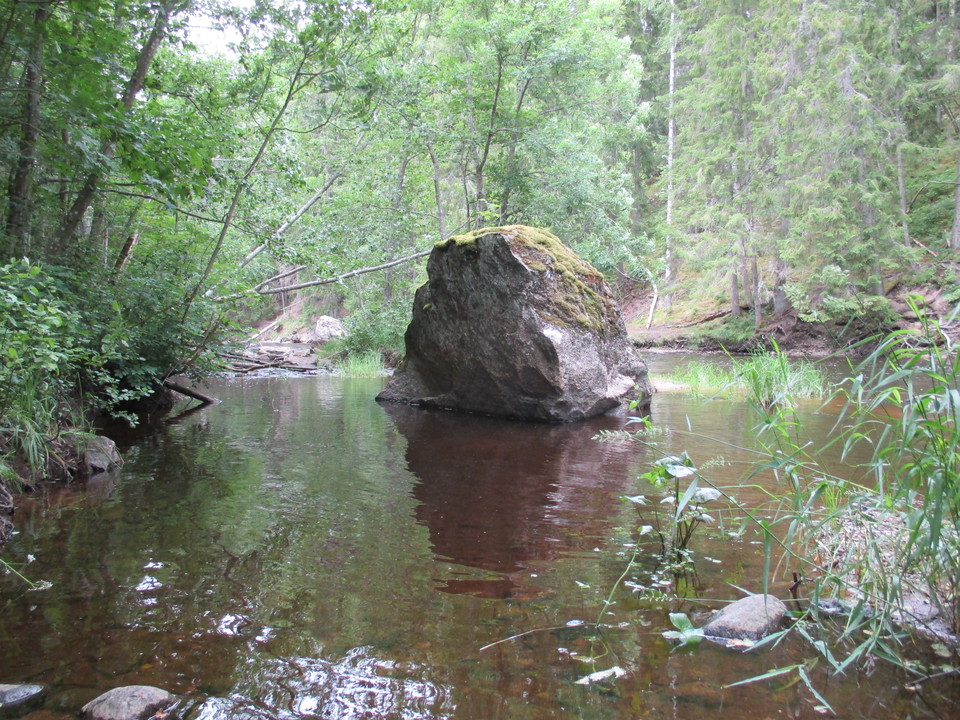
Photo: Sofia Sollenberg -
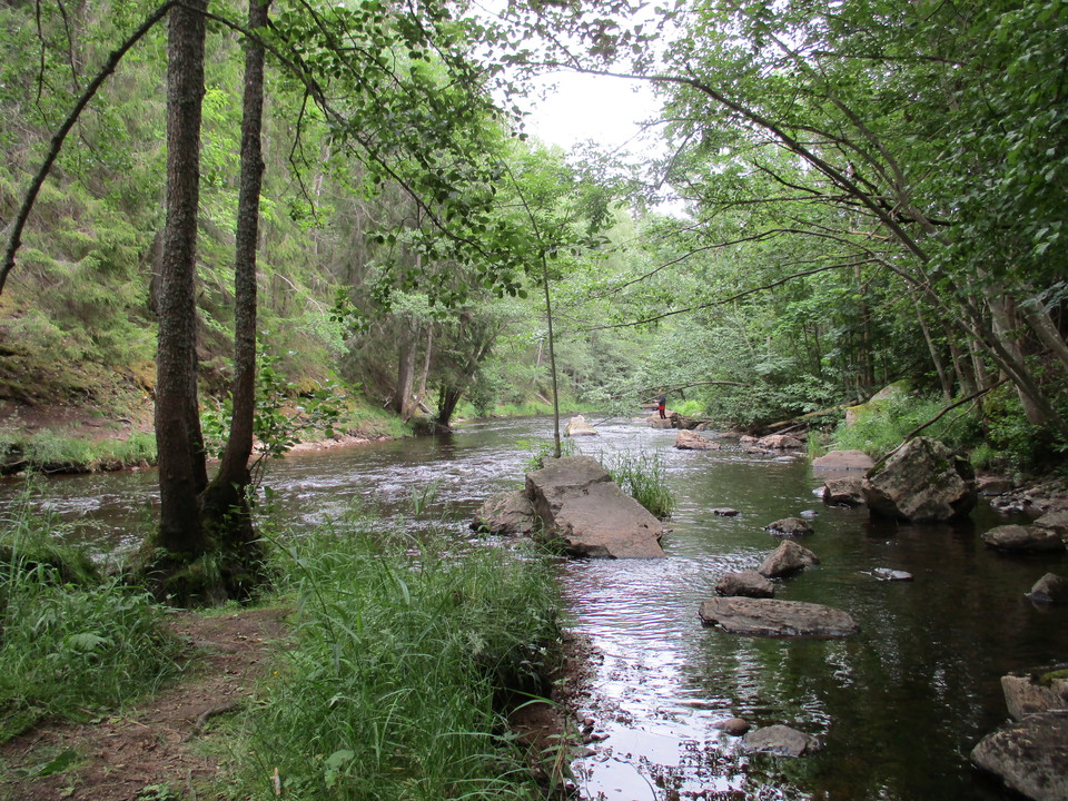
Photo: Sofia Sollenberg -
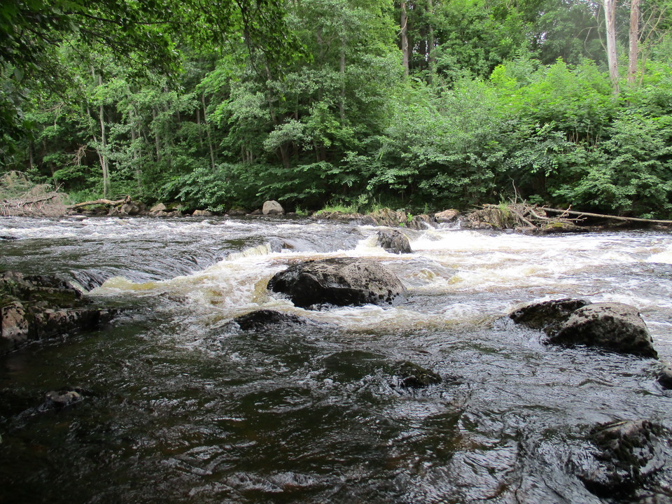
Photo: Sofia Sollenberg -
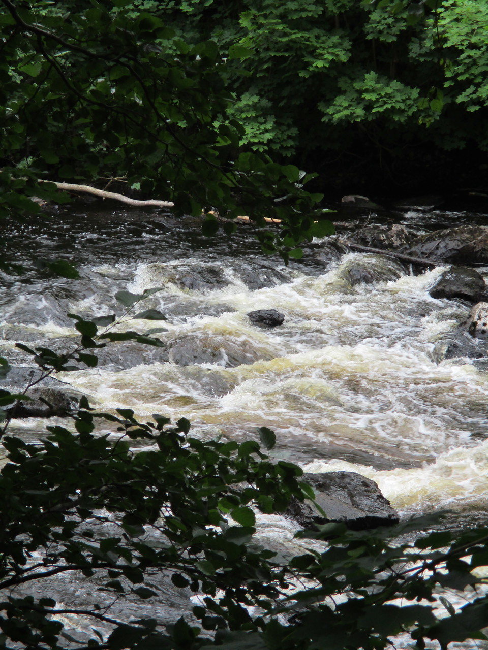
Photo: Sofia Sollenberg -
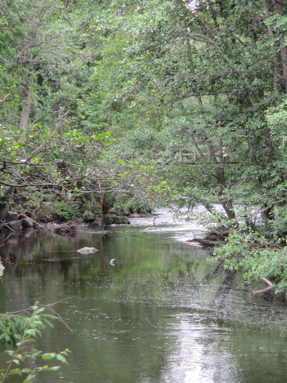
Photo: Sofia Sollenberg -
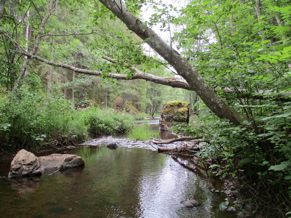
Photo: Sofia Sollenberg
Hedströmmen
- Nature reserve
- Near parking
- Near Public Transport
Actions
Description
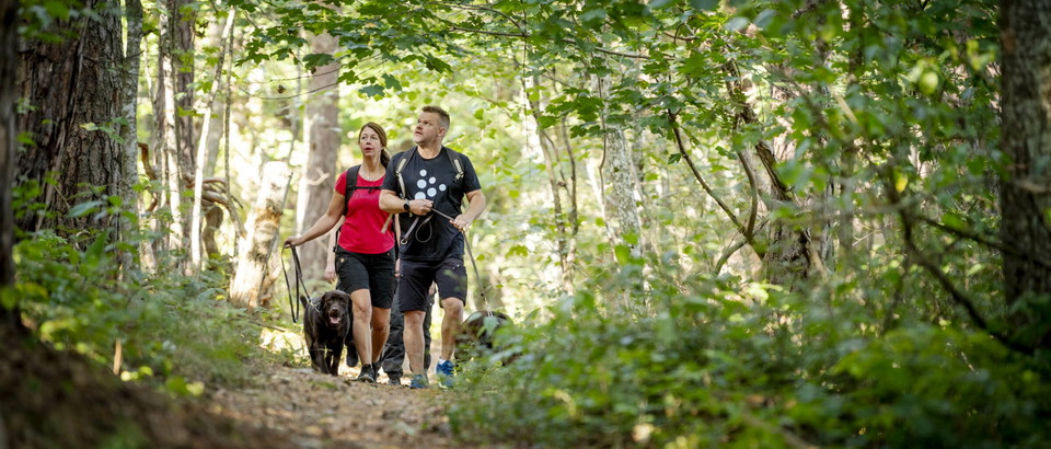
Walk along winding paths near steep slopes and ravines. The greenery along the stream is jungle-like. There are many birds in the area, and kingfishers and lesser spotted woodpeckers sometimes nest here. Along the hike, you can see traces of the beaver's progress.
Hedströmmen is also a well-known fly fishing paradise. However, fishing is prohibited in parts of the nature reserve. In the areas where fishing is permitted, you must buy a fishing license from the fishing club that has the right to fish there. Information is available on boards set up in the nature reserve.
Activities And Facilities
- Nature reserve
Accessibility
- Near parking
- Near Public Transport
Facts
Kommuner: Köping och Skinnskatteberg
Skyddat år: 1995 och reviderat 2009
Areal: 38 hektar
Förvaltare: Länsstyrelsen
Directions
From E18 exit Köping road 250 north. Southern parking lot: In Bernshammar turn left towards Valbricka. Pass over the bridge. Northern parking lot: Turn left towards Nyhammar. Bus 550 Skinnskatteberg-Köping
Regulations
Welcome to visit the nature reserve!
There are rules that you as a visitor must follow. The rules are there to protect the area's natural values.
It is forbidden to:
- fish within the area specifically marked on the map,
- drive a motorized vehicle other than on a road or place that is open to public traffic,
- park motor vehicles, caravans or trailers other than in connection with a road that is open to public traffic,
- travel within the area by boat or other craft with the exception of the area south of the road bridge at Bernshammar,
- camping,
- ride a bicycle other than on a road that is open to public traffic,
- ride a horse,
- climbing bot trees,
- bring an unleashed dog or other loose pet,
- put up a board, sign, inscription, poster or similar device,
- light a fire in an area shown on a map as an area for free development,
- digging up, picking or breaking shrubs, reeds, herbs, mosses, lichens or woody fungi
- collecting invertebrates
- organizing shooting competitions, orienteering competitions, boat races or training for them.
Contact
Address
Kontakta mig om du har frågor om Naturkartan Västmanland.
Email address
Daniel Anundi
Organization logotype
Please be aware that some of these texts have been automatically translated.
I’ve been here 35





I want to go here 33

Questions & Answers
Ask a question to other Naturkartan users.
Reviews
3 reviews
- 5 :
- 4 :
- 3 :
- 2 :
- 1 :
Fin natur, lite synd att bada vindskyddet ligger precis vid starten. Vi stannade å fikade på slutet, fanns dock inget att sitta på där. Brant uppför åsen men fin natur. I sällskapet var åldern mellan 6år och 71år. Funkade bra ändå.
Users images
No user images yet. Be the first to share!


Fin plats