
Vandringsled Forssjö friluftsområde
- Hiking
- Running
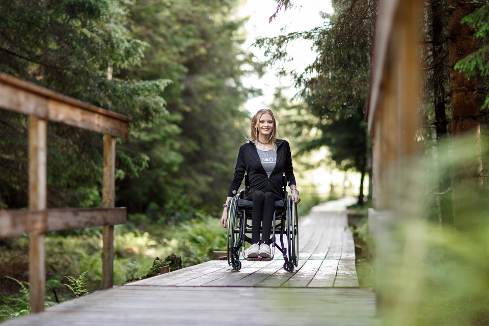
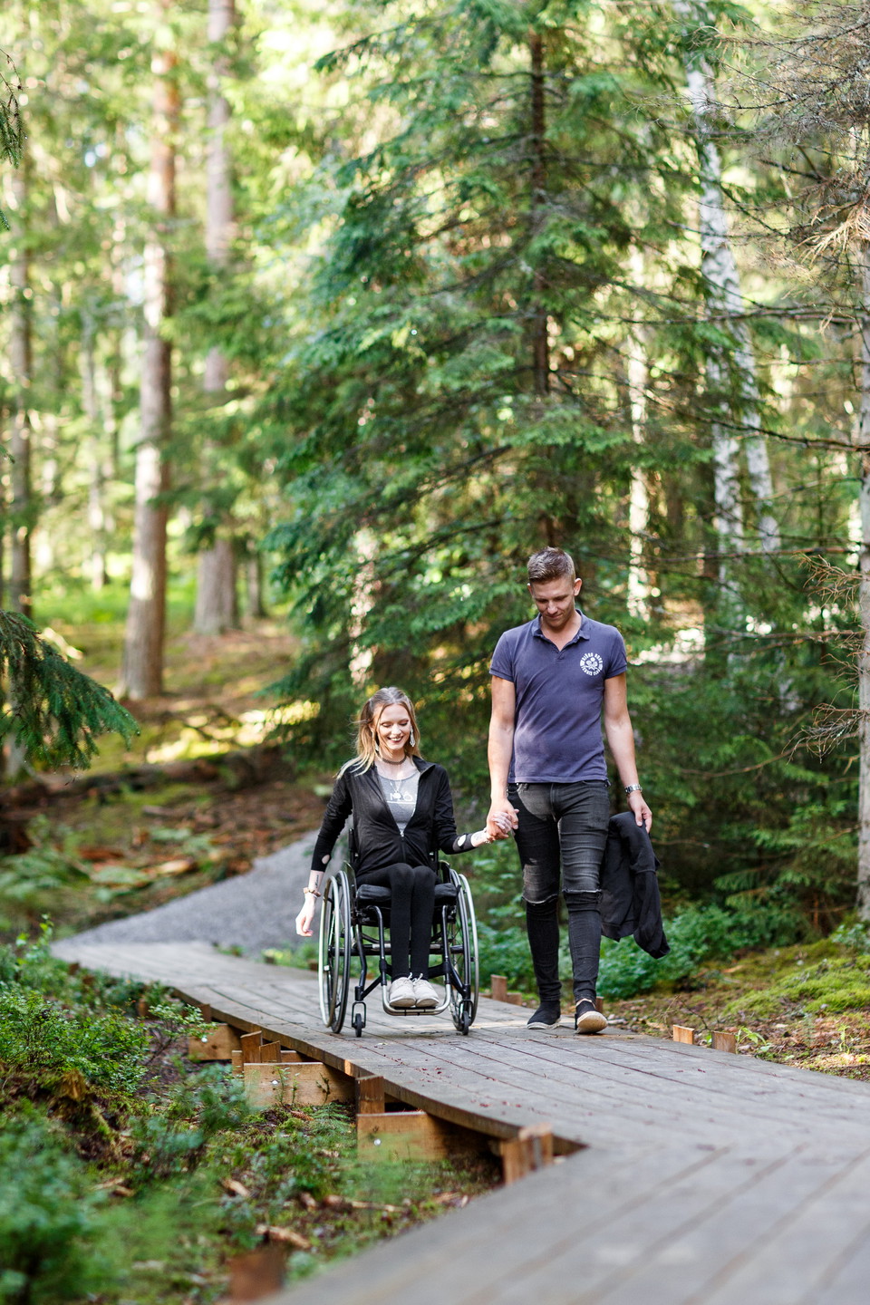
- Wheelchair accessible
- Stroller accessible
- Near parking
- Near Public Transport
- County: Södermanlands län
- 6768.90 km away from you
Trail details
- Length 3.5 km
- Difficulty Blue — medium
Actions
Description
Activities And Facilities
- Running
- Hiking
Accessibility
- Wheelchair accessible
- Stroller accessible
- Near parking
- Near Public Transport
Surface
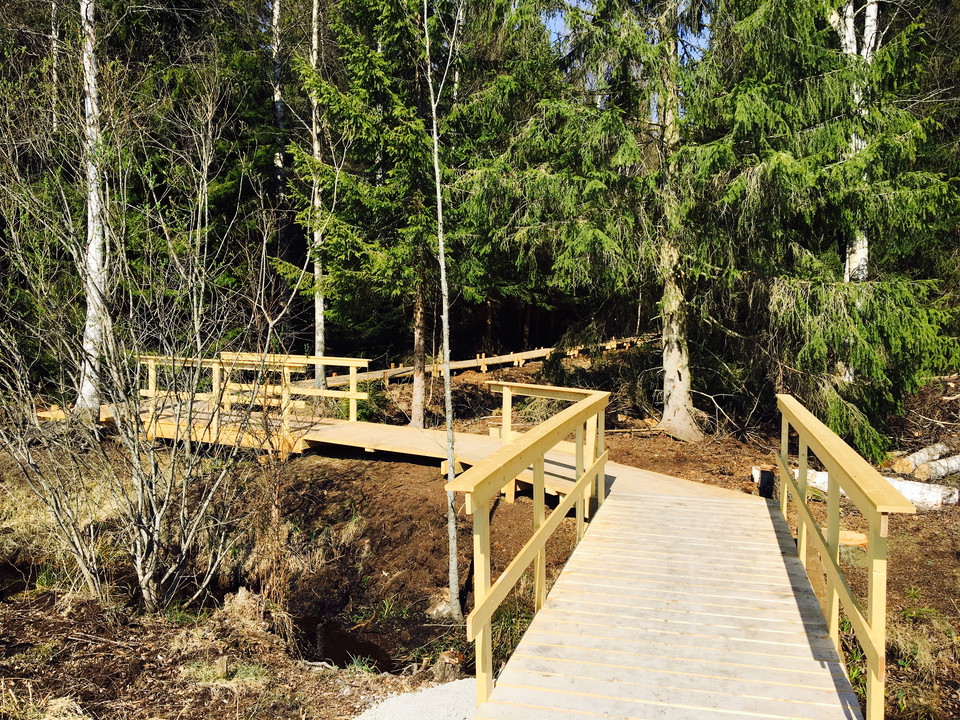
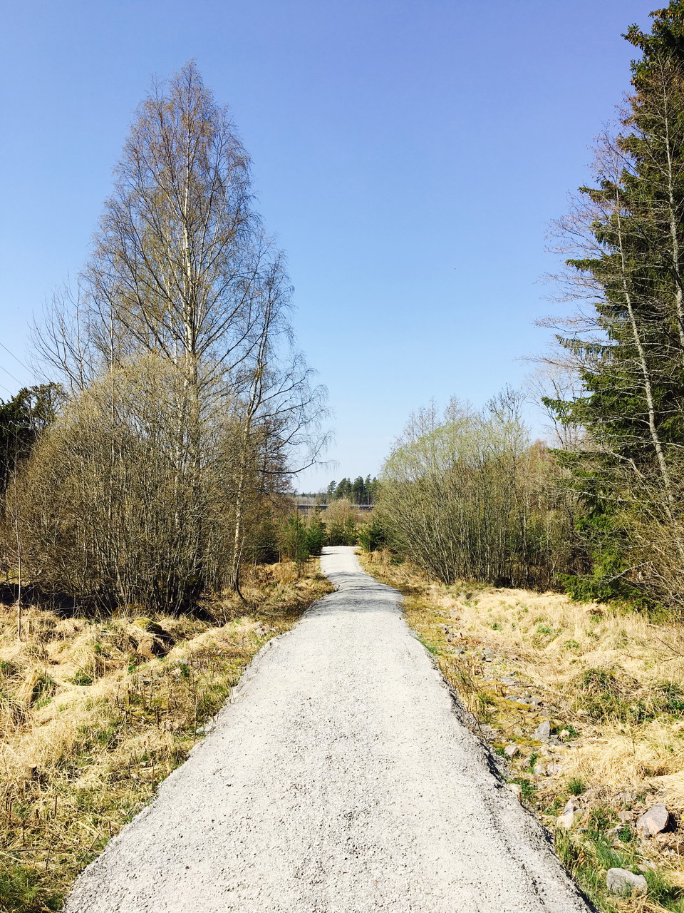
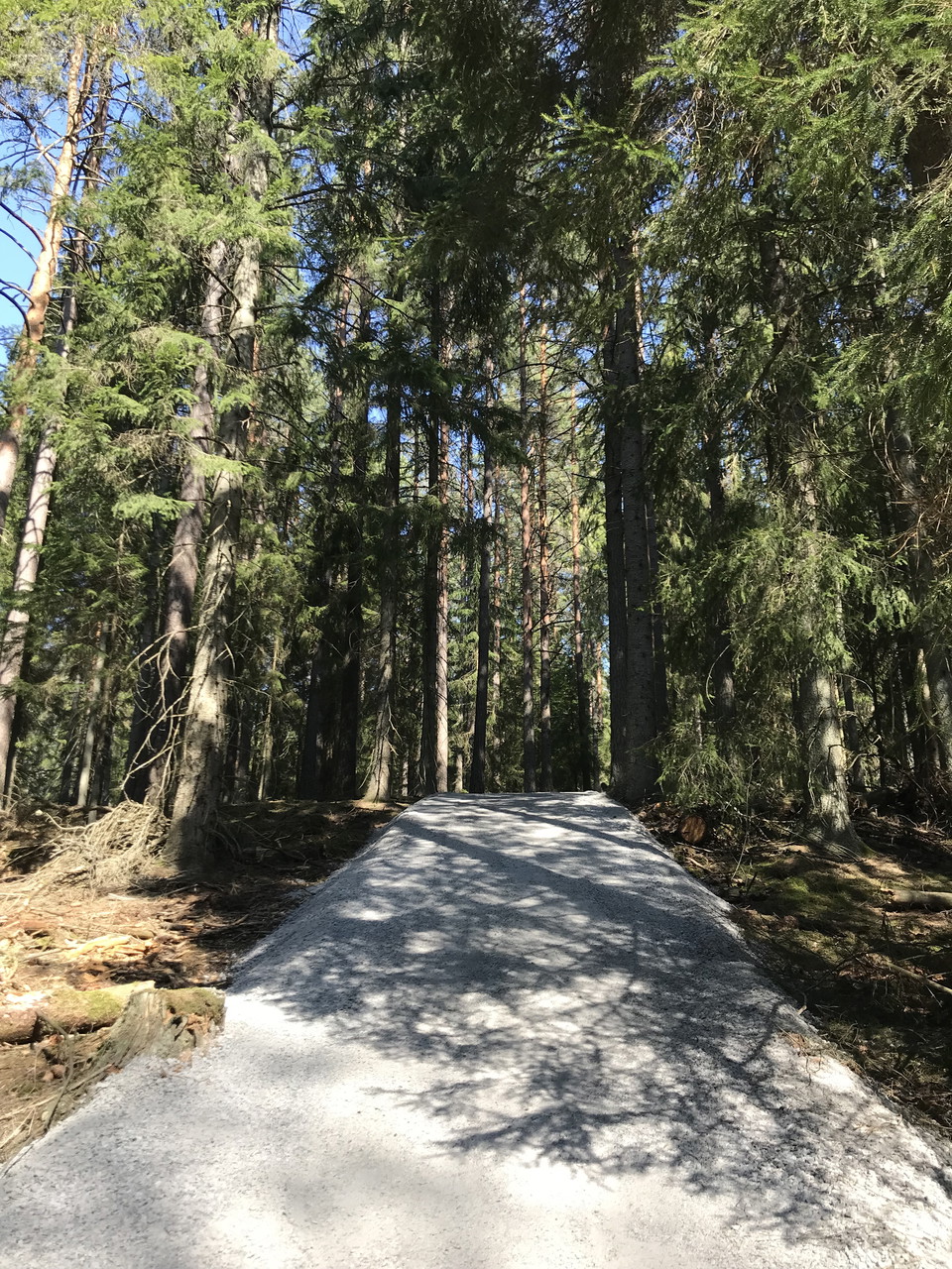
Stone dust and wooden poles together with a normal forest path.
Hills
Part of the trail (up to the Skirtorpssjön nature reserve) is a steep hill of about 100 meters.
Parking
Combined car and bus parking.
Communications
Nearest bus stop: Rökstorp.
Directions
The trail starts at the parking lot along Bruksvägen, a short distance outside Forssjö.
Downloads
Contact
Address
Kontakta kommunikationsavdelningen om du har frågor om Katrineholms naturkarta.
Vill du felanmäla något som du har upptäckt i naturen? Gör din anmälan i vår app Felanmälan Katrineholm som du hittar i din appbutik, eller via www.katrineholm.se/felanmalan
Email address
Kommunikationsavdelningen
Organization logotype

Please be aware that some of these texts have been automatically translated.
I’ve been here 14



I want to go here 16



Reviews
—
0 reviews
- 5 :
- 4 :
- 3 :
- 2 :
- 1 :
Questions & Answers
Ask a question to other Naturkartan users.
Users images
Share your photos of the place!
