
-
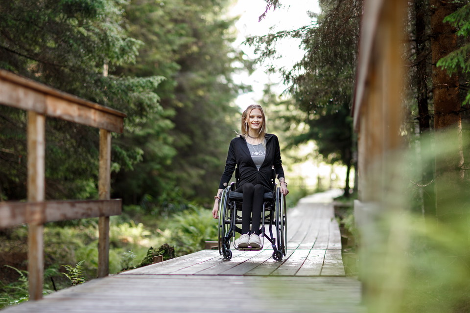
Vandringsled Forssjö friluftsområde, foto: Hanna Maxstad -
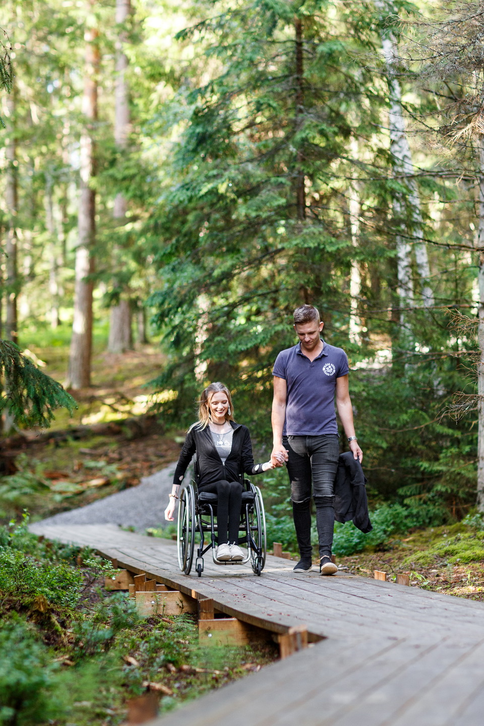
Vandringsled Forssjö friluftsområde, foto: Hanna Maxstad -
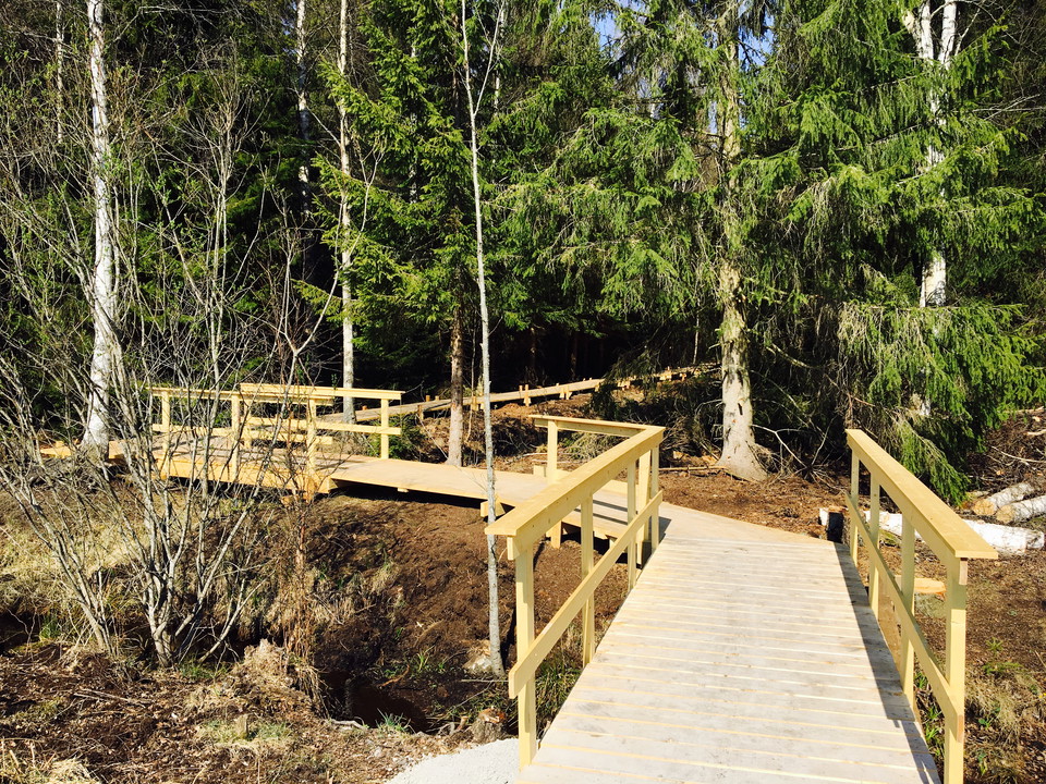
Vandringsled Forssjö friluftsområde -
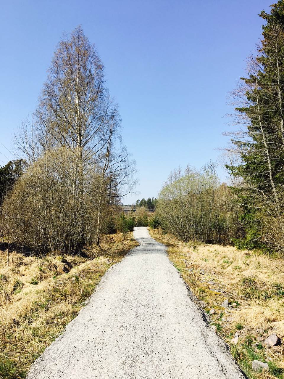
Vandringsled Forssjö friluftsområde -
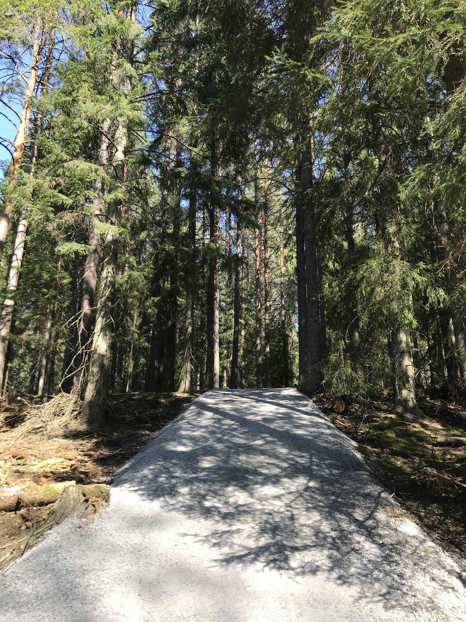
Vandringsled Forssjö friluftsområde
- Hiking
- Running
- Wheelchair accessible
- Stroller accessible
- Near parking
- Near Public Transport
- County: Södermanlands län
- 6768.90 km away from you
Trail details
- Length 3.5 km
- Difficulty Blue - medium
Actions
Description
A lovely hiking trail of about 3.5 kilometers that takes you through the Forssjö outdoor area and the exciting places Jätten's sink, Jätten's soap dish and Glysa's basement. The hiking trail starts at the parking lot located along Bruksvägen, a short distance outside Forssjö.
Part of the route is wheelchair accessible (from the parking lot and about 300 meters into the trail). After about 300 meters there is a steep hill of about 100 meters.
Activities And Facilities
- Running
- Hiking
Accessibility
- Wheelchair accessible
- Stroller accessible
- Near parking
- Near Public Transport
Surface
Stone dust and wooden poles together with a normal forest path.
Hills
Part of the trail (up to the Skirtorpssjön nature reserve) is a steep hill of about 100 meters.
Parking
Combined car and bus parking.
Communications
Nearest bus stop: Rökstorp.
Directions
The trail starts at the parking lot along Bruksvägen, a short distance outside Forssjö.
Downloads
Contact
Address
Kontakta kommunikationsavdelningen om du har frågor om Katrineholms naturkarta.
Vill du felanmäla något som du har upptäckt i naturen? Gör din anmälan i vår app Felanmälan Katrineholm som du hittar i din appbutik, eller via www.katrineholm.se/felanmalan
Email address
Kommunikationsavdelningen
Organization logotype

Please be aware that some of these texts have been automatically translated.
I’ve been here 14



I want to go here 16



Questions & Answers
Ask a question to other Naturkartan users.
Reviews
0 reviews
- 5 :
- 4 :
- 3 :
- 2 :
- 1 :
Users images
No user images yet. Be the first to share!
