Best hiking trails in Värnamo

Värnamo

Naturkartan samlar de vandringslederna i Värnamo som är populärast bland våra användare.

Images

Map

50 Best hiking trails in Värnamo

Hiking

The Lövö Round trail

  • Municipality: Värnamo
  • 6740.26 km away from you
  • 3.6 km
  • Difficulty: Green

The Lövö Round is a 3.6 km loop in Store Mosse National Park. The trail starts in the open pasture area at Lövö and continues into the hilly forest landscape along Rocknarna, the old sand ridges. The forest consists mainly of open pine forests and is entire…

Hiking

Torskingeleden trail

  • Municipality: Värnamo
  • 6744.61 km away from you
  • 4.9 km

Torskingeleden is a private initiative blue-marked footpath around the village of Torskinge. A pleasant loop that goes from the local homestead park through old cultivation district, along the old ‘Mattlabackarna’ burial mounds and around the forest before…

Hiking

Havsjöleden trail

  • Municipality: Värnamo
  • 6734.74 km away from you
  • 2.0 km

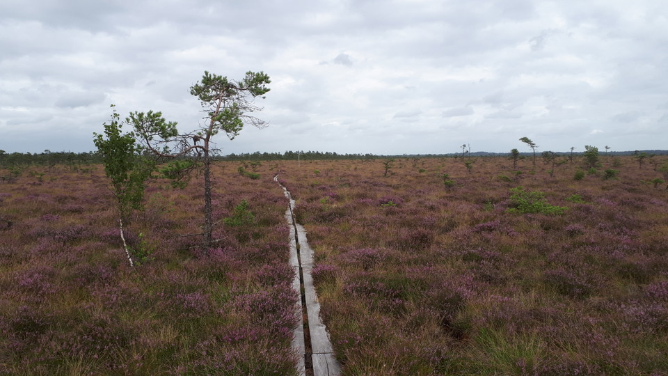
Walk on the planks around the lake and enjoy the stunning views and beautiful scenery. Around the trail, at the northern part of the lake, there is a wind shelter with access to a firepit for when you want to take a break. Lake Havsjön is beautifully locate…

Hiking

Munkaleden Pilgrimage trail

  • Municipality: Värnamo
  • 6738.74 km away from you
  • 40.0 km

Munkaleden is a pilgrimage trail that follows the same route that the monks from Nydala Abbey are said to have walked when they visited the nunnery in Byarum. It is part of the pilgrimage route between Santiago de Compostela in Spain and Nidaros/Trondheim i…

Hiking

Blådöpet runt

  • Municipality: Värnamo
  • 6740.71 km away from you
  • 5.2 km

5,2 kilometer, vandringen tar ca 1,5 timmar. Leden markeras med blå ledfärg. Blådöpet är ett vått och blått kärrstråk som avvattnar Kalvasjön längre österut. Den här vandringen för dig längs med Blådöpet och in genom skogen. I södra delen av nationalparken…

Hiking

Led (Andersberg-naturum via Lövö och Kittlakull)

  • Municipality: Värnamo
  • 6740.51 km away from you
  • 14.0 km

14 kilometers one way, the hike takes about 4-5 hours. Marked with green trail color. The longest trail on the map is between naturum-Andersberg. It starts in the north and continues to the southern tip of the national park. The walk is mostly over the high…

Hiking

Västra Sigfridsleden Pilgrimage trail

  • Municipality: Värnamo
  • 6761.62 km away from you
  • 124.8 km

The Västra Sigfridsleden trail offers magnificent nature experiences. Small villages with red cottages give way to deep forests and glittering lakes. For long stretches you follow small gravel roads, but the trail also consists of slightly tougher terrain.…

Hiking

Lövö runt

  • Municipality: Värnamo
  • 6740.26 km away from you
  • 3.4 km

The trail is 3.6 km long and runs in the hilly forest landscape entirely on solid ground.

Hiking

Timjan footpaths

  • Municipality: Värnamo
  • 6758.79 km away from you
  • 5.7 km

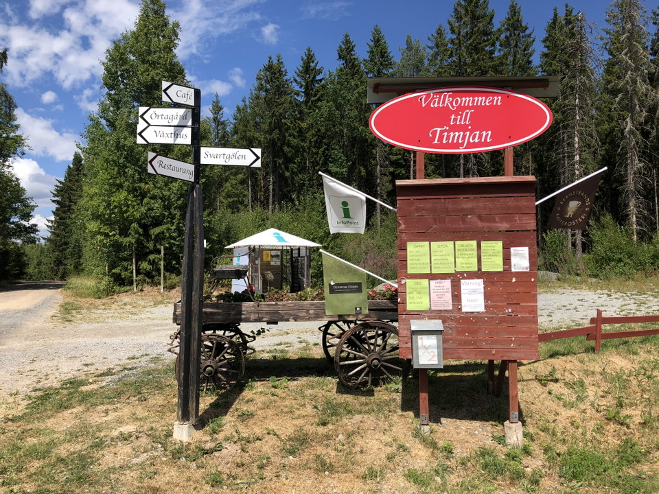
The Timjan footpaths are located right next to Timjan café and restaurant. Here you can enjoy the Småland forest on paths from 1.8 to 3 km. Experience the rich bird life at Dala Mosse, swim in the lake or buy a ‘fika’ hamper from the café. If you want to st…

Hiking

Vandringsled runt Draven

  • Municipality: Värnamo
  • 6732.66 km away from you
  • 8.0 km
  • Difficulty: Green

The Draven nature reserve is located about 10 km north of Lake Bolmen and is one of Sweden's most interesting bird areas. Breeding here are oystercatchers, spotted crakes, coots, water rails, black-headed gulls, bitterns, Eurasian wigeons, curlews, marsh ha…

Hiking

Footpaths in Lundsbo Bokskog (beech forest)

  • Municipality: Värnamo
  • 6764.36 km away from you
  • 3.7 km
  • Difficulty: Green

In the Lundsbo Bokskog Nature Reserve there is an entire system of paths to traverse. Here you can walk, hike, jog, ride a mountain bike or push a wheelchair or pram. The paths go through a beautiful and lush beech forest interspersed with conifers. Enjoy t…

Hiking

Nydalaleden Pilgrimage trail

  • Municipality: Värnamo
  • 149.6 km

Nydalaleden is a pilgrimage trail that follows the footsteps of the first people to populate Sweden – a road that has been continuously updated and transformed into both the trunk road Riksettan and the E4 motorway. The trail, several stretches of which run…

Hiking

Connecting trail, Rusarebo Äng – Lundsbo Bokskog (beech forest)

  • Municipality: Värnamo
  • 6763.07 km away from you
  • 2.3 km
  • Difficulty: Green

Connecting trail between the footpaths in Rusarebo Äng and Lundsbo Bokskog. The eastern part of the trail goes through coniferous forest, while the western part follows the shore of Lake Hindsen. Here you can enjoy beautiful views of the lake. Halfway throu…

Best hiking trails in Värnamo

Naturkartan samlar de vandringslederna i Värnamo som är populärast bland våra användare.

Naturkartan

Open this in the app