
Led (Andersberg-naturum via Lövö och Kittlakull)
- Hiking
- County: Jönköpings län
- 6740.51 km away from you
Trail details
- Length 14.0 km
Actions
Description
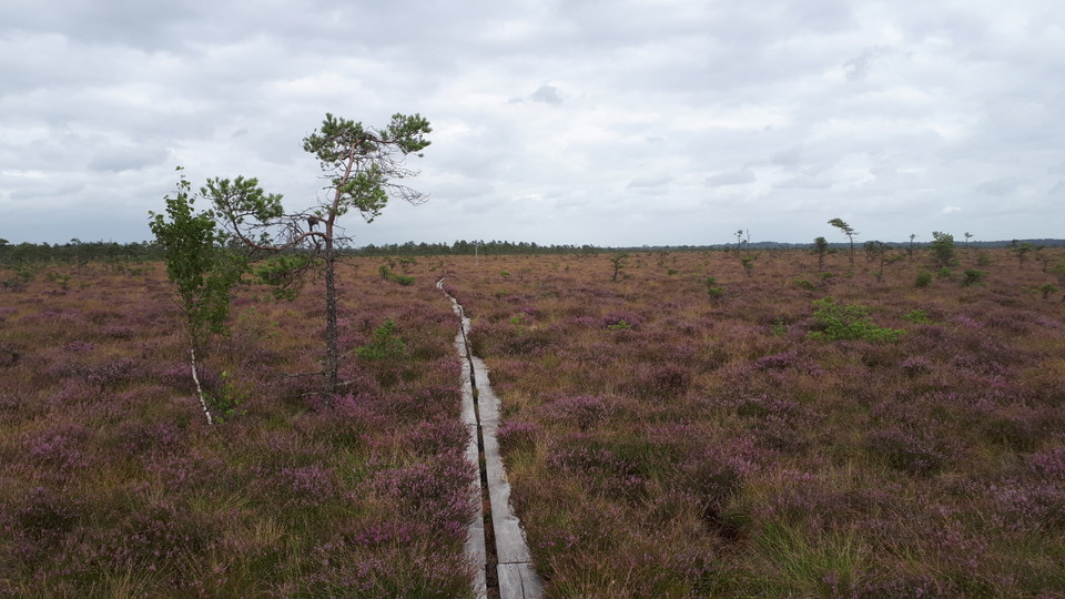
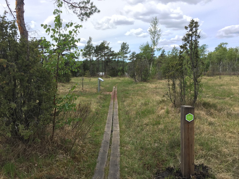
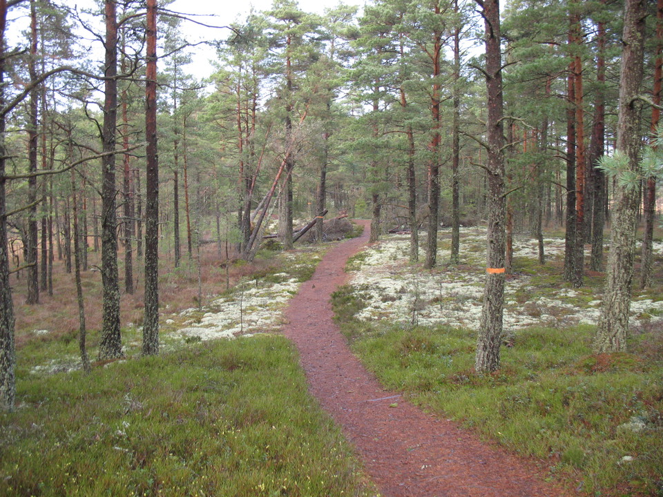
14 kilometers one way, the hike takes about 4-5 hours. Marked with green trail color. The longest trail on the map is between naturum-Andersberg. It starts in the north and continues to the southern tip of the national park. The walk is mostly over the high moss and is a good way to experience the tranquillity and wilderness feeling of the national park. Further south is Björnakullakärret - one of the national park's rich bogs. Here you'll find plants such as orchids and haymaking flowers. The trail crosses road 151 and runs along Kittlakullsvägen before entering the high bog. The trail shares a stretch with the hiking trail Lilla Lövö runt, Lövö runt and Blådöpet runt. The hike is a single stretch and ends at the parking lot at Andersberg.
Activities And Facilities
- Hiking
Contact
Email address
Please be aware that some of these texts have been automatically translated.
I’ve been here 6

I want to go here 5



Questions & Answers
Ask a question to other Naturkartan users.
Reviews
0 reviews
- 5 :
- 4 :
- 3 :
- 2 :
- 1 :
Users images
No user images yet. Be the first to share!
