Västanåleden
- Municipality: Jönköpings kommun
- 6518.91 km away from you
- 7.4 km
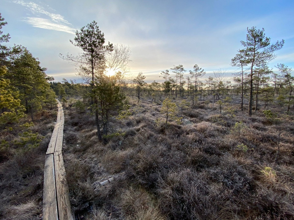
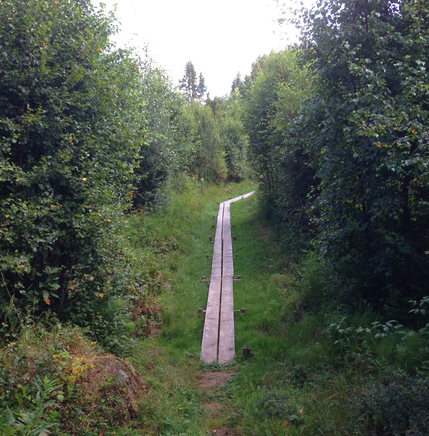
Västanåleden is a circular trail that runs through deciduous forest near Lake Vättern and also in steep pine forest. You pass Röttleån through a deep ravine. Length 7.4 km

Jönköpings län
Naturkartan samlar de vandringslederna i Jönköpings län som är populärast bland våra användare.
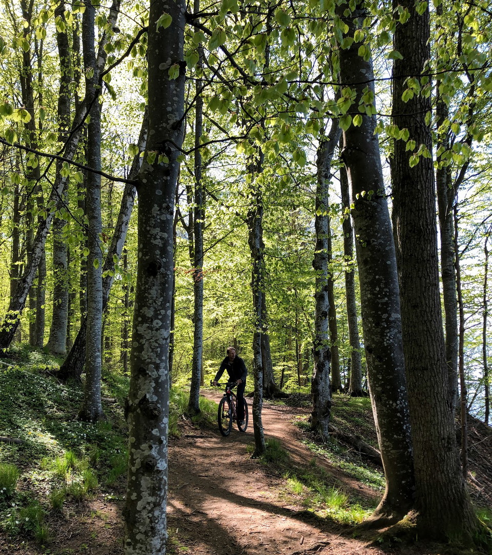
Västanåleden is a circular trail that runs through deciduous forest near Lake Vättern and also in steep pine forest. You pass Röttleån through a deep ravine. Length 7.4 km
Hassafallsleden first follows Tabergsån downstream through lush alder forest. At the confluence with Sandserydsån, the trail follows it upstream past the impressive environment around the Hassafall waterfalls. There are also two barbecue areas here.
The hike takes place through Bankeryd parish, over Högamon in Habo municipality, which since 1998 belongs to Jönköping County. Very varied nature. Goes on both sides of Bankerydsdalen. Bankerydsleden is a 24.5 km long hiking trail that takes you through bea…
You can start your hike from four different entrances: the ‘Naturrum’, (nature information centre), Kävsjö, Svänö and Östra Rockne. If you start at the ‘Naturrum’, a paper is guide available for the entire route, which you will find in the box at the car pa…
The hiking trail from Husqvarna Factory Museum to Ebbes Power Station is scenic with the Huskvarna River in a deep rift valley. An audio guide tells about workshops and factories, an impressive industrial history.
Tabergs-å-leden is an urban hiking trail that offers experiences of both nature and culture. The trail runs between Månsarp and the southern part of Munksjön in Jönköping and is a total of 18 km long.
The areas around Tabergsån and Sandserydsån have long been appreciated for their beautiful nature and have been popular hiking areas. Nowadays you can follow the marked trails Hassafallsleden and Kallebäcksleden. Here you will encounter real John Bauer fore…
Dumme mosse is one of the county's largest and most varied bog areas with many different types of wetland. Wilderness feeling and high bog. The trail on the bog is also handicapped accessible with a wide footbridge.
Rocksjön is biologically rich and great for sport fishing. A footbridge takes you through the lake's reed belts and marshes. The 5 km loop is accessible for prams and wheelchairs. Feel free to jog on the loop but show consideration for your fellow human bei…
The trail is marked in red. You can start the hike at four different entry points: Naturum, Kävsjö, Svänö, and Östra Rockne. If you start at Naturum, there is a paper guide for the entire route. It is located in a box by the parking lot. The paper guide is…
Hallbyleden is a continuation of Dunkehallaleden. It starts at the mill and is 2.2 km long and leads up to Hallbyskogen's outdoor area.
Walk the beautiful trail around Lake Illern, which is located within the Illern Nature Reserve. A good trail for those who want to hike, jog, pick berries or just experience scenic forest and lake. The forest is mostly mature pine forest with some areas of…
Aggas - Green trail is 10 km long and takes you well north into Östergötland and then back south to Sommen. Initially, you follow the same routes as the yellow and red trails.
Munksjön är en av Jönköpings tre sjöar, Vättern och Rocksjön är de andra. Tabergsån rinner ut i Munksjön.
The trail starts at the footbridge over the railway at Kittlakull. First you will hike through the old peat extraction area. Then you cross the large ditch and come out onto the truly unspoilt Högmossen. The walk is about 1.5 km on a raised plank, and here…
Naturkartan samlar de vandringslederna i Jönköpings län som är populärast bland våra användare.