

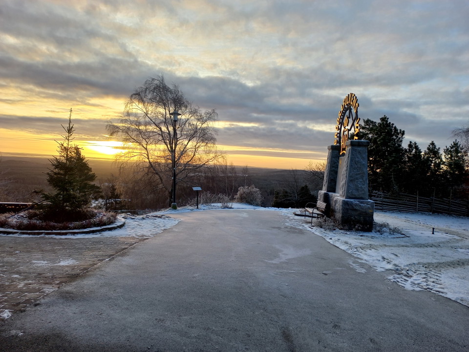
Taberg 343 - W2 Taberg's Summit
- Hiking
- County: Jönköpings län
Trail details
- Length 2.9 km
Actions
Currently
Due to the risk of rockfall, all trails in a westerly and southerly direction are affected at the foot of the mountain. A detour is available, but it involves a significant increase in distance.
Description
Activities And Facilities
- Hiking
Downloads
Contact
Address
Kontakta oss om du har frågor om Jönköpings natur och friluftsliv.
Email address
Organization logotype

I’ve been here
I want to go here
Reviews
—
0 reviews
- 5 :
- 4 :
- 3 :
- 2 :
- 1 :
Questions & Answers
Ask a question to other Naturkartan users.
Users images
Share your photos of the place!
