

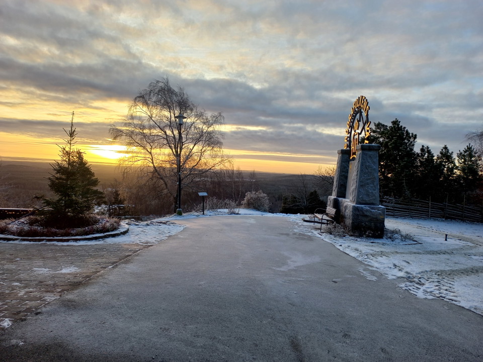
Taberg 343 - W2 Tabergs Topp
- Vaellusreitit
- Kunta: Jönköpings län
Polun yksityiskohdat
- Pituus 2.9 km
Toiminnot
Tällä hetkellä
Due to the risk of rockfall, all trails in a westerly and southerly direction are affected at the foot of the mountain. A detour is available, but it involves a significant increase in distance.
Kuvaus
Toimintaa ja tilat
- Vaellusreitit
Lataukset
Yhteystiedot
Osoite
Kontakta oss om du har frågor om Jönköpings natur och friluftsliv.
Sähköpostiosoite
Organisaation logotyyppi

Olen ollut täällä
Haluan mennä tänne
Arvostelut
—
0 arvostelut
- 5 :
- 4 :
- 3 :
- 2 :
- 1 :
Kysymykset & vastaukset (Q&A)
Esitä kysymys muille Naturkartan-käyttäjille.
Käyttäjien kuvat
Jaa kuvasi paikasta!
