New!

Now you can share photos on Naturkartan! 📸

Read more

Best hiking trails in Gällivare

Gällivare

Naturkartan samlar de vandringslederna i Gällivare som är populärast bland våra användare.

Images

Map

25 Best hiking trails in Gällivare

Hiking

Teusajaure-Vakkotavare, The King's Trail

  • Municipality: Gällivare
  • 6388.35 km away from you
  • 15.0 km

This stretch is a relatively easy hike, but with considerable differences in elevation. The trail passes through Stora Sjöfallet/Stuor Muorkke National Park, and in clear weather gives you a good view of the jagged summits of Sarek and Stora Sjöfallet. To g…
Hiking

Kaitumjaure-Teusajaure, The King's Trail

  • Municipality: Gällivare
  • 6389.18 km away from you
  • 9.0 km

The stretch is one of the shortest along the King's Trail. The trail is easy to hike and mostly crosses bare mountain, except for the beginning and the end running through mountain birch forest. Between Gáidumjohka and Teusajaure you pass through Sjaunja/Sj…

Hiking

Trail Oarjemus Stubbá (Sörstubba), Muddus/Muttos

  • Municipality: Gällivare
  • 6494.61 km away from you
  • 1.0 km

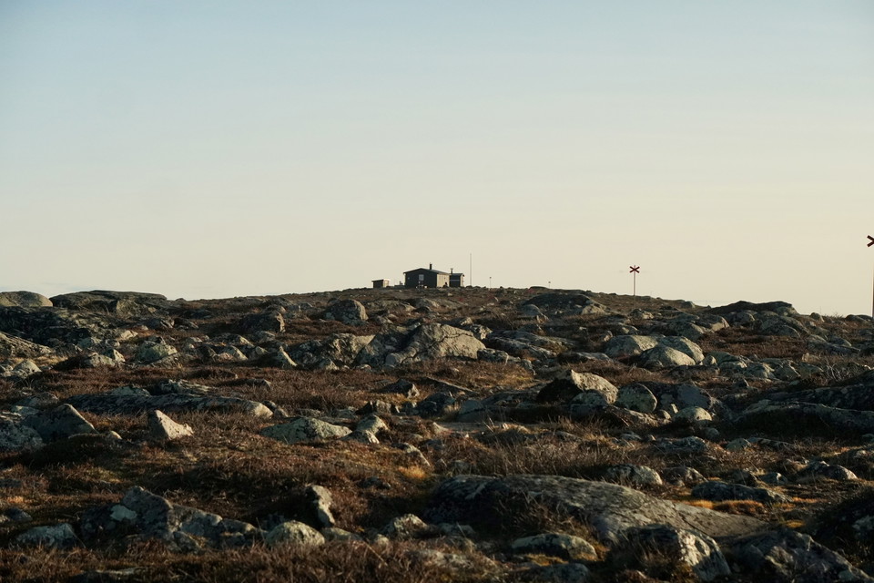
Easy hike uphill to Oarjemus Stubbá (Sörstubba). You get a fantastic view of the surrounding landscape. On a clear day you can see as far as Sarek. The trail is maintained by Laponiatjuottjudus. Duration: 20-30 minutes

Hiking

Gällivare-Porjus, Rallarstigen/The Navvy Trail

  • Municipality: Gällivare
  • 6490.39 km away from you
  • 44.0 km

The Navvy Trail is a 44 km heritage trail between Gällivare and Porjus with a special history. The trail passes through the northern part of Muddus/Muttos Nationalpark and also through the Nature Reserve Stubbá. Ever since the 18th century it was an importa…

Hiking

Nikkaluokta-Kaitum

  • Municipality: Gällivare
  • 6413.47 km away from you
  • 63.0 km

Borrásgorsa/Pårraskårsa-Tjuonajåkk You can choose to hike the summer trail to Borrásgorsa and back as a pleasant day trip or start a tour of several days that continues to Tjuonajåkk or Kaitum. This is a beautiful and peaceful area where it you will not mee…

Hiking

Vandringsled BD47 mellan Hukejaure och Sitasjaure

  • Municipality: Gällivare
  • 6360.67 km away from you
  • 20.0 km

The trail follows the low fell Ráktas southwards. After a short slope down towards Lake Kaisejaure the hike continues via two bridges across the watercourses Ráktasjohka and Čuolakjohka. The trail then climbs towards the pass on Tjuolak mountain. After the…

Hiking

Duolbanjunni-Hukejaure, The Arctic Trail

  • Municipality: Gällivare
  • 6370.39 km away from you
  • 17.0 km

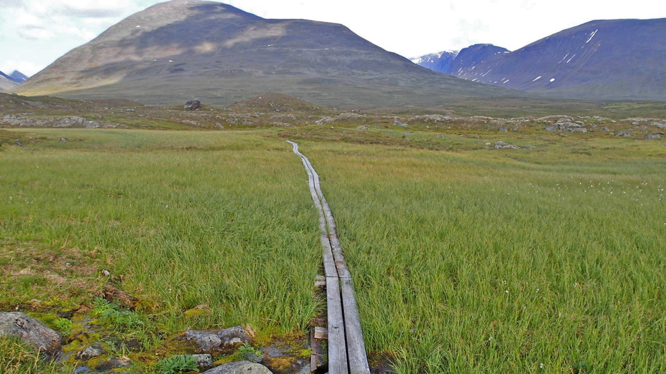
The trail turns off the King’s Trail at the meditation site west of Duolbanjunni mountain. The trail leads down to Tjäktjajåkka stream and across a suspension bridge. A distinct trail, partly provided with plankways, then continues up across scree towards t…

Hiking

Trail Lijnávárre-Manson, Muttosbálges/the Muddus Trail

  • Municipality: Gällivare
  • 6515.80 km away from you
  • 6.4 km

The northern connection trail to Muddus/Muttos trail system. The trail goes between the Manson cabin and the forest road at Lijnávárre. Easy walk. The trail is maintained by Laponiatjuottjudus.

Hiking

Vandringsled BD44 mellan Pårraskårsa och Tjuonajåkk

  • Municipality: Gällivare
  • 6418.95 km away from you
  • 27.0 km
  • 11 h 30 min

The route takes you through an unspoiled, easily-hiked and beautiful area offering a vast panorama in clear weather. You will not be meeting many other hikers here. Much of the trail crosses a high plateau at 750–900 metres above sea level. The plateau is e…

Hiking

Toppleden - Dundret

  • Municipality: Gällivare
  • 6508.84 km away from you
  • 6.6 km
  • Difficulty: Green

Hiking

Västra leden - Dundret

  • Municipality: Gällivare
  • 6508.71 km away from you
  • 2.6 km
  • Difficulty: Green

Marked trail from 5:an road, partly a little steep, stoning and boarded path. Partly wet depending on the season. Once at the top you have reached 813 m.a.s.l. Feel free to stop and have a coffee in or outside our nice shelter at the top.

Hiking

Dundretleden

  • Municipality: Gällivare
  • 6512.49 km away from you
  • 3.5 km
  • Difficulty: Green

Walking

Hälsoslingan Åke på Toppen

  • Municipality: Gällivare
  • 6511.71 km away from you
  • 1.5 km
  • 20 min
  • Difficulty: Green

This trail starts from the parking lot along 5:ans väg and extends 1.5 kilometers up to Dundret's highest peak - Åke på toppen. The trail is flat, graveled, smooth and handicapped accessible, making it accessible for wheelchairs, strollers and anyone who wa…

Best hiking trails in Gällivare

Naturkartan samlar de vandringslederna i Gällivare som är populärast bland våra användare.

Naturkartan

Open this in the app