
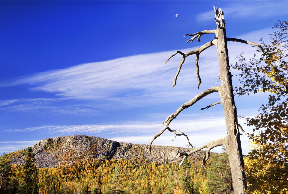
Trail Oarjemus Stubbá (Sörstubba), Muddus/Muttos
- Hiking
- County: Norrbottens län
- 6494.61 km away from you
Trail details
- Length 1.0 km
Actions
Description
Activities And Facilities
- Hiking
Directions
Signage from the route E45 between Gällivare and Porjus. Then drive 300 metres along the old road. Here starts the path.
Contact
Email address
Länsstyrelsen Norrbotten
Organization logotype

I’ve been here 8




I want to go here 21

Reviews
—
0 reviews
- 5 :
- 4 :
- 3 :
- 2 :
- 1 :
Questions & Answers
Ask a question to other Naturkartan users.
Users images
Share your photos of the place!
