


Blekingeleden Trail | Halens camping – Tulseboda Brunnspark
- Hiking
- County: Blekinge län
- 6824.14 km away from you
Trail details
- Length 20.5 km
- Difficulty Blue — medium
Actions
Currently
Part of the trail is not marked because we had to redraw the trail due to a collapsed bridge. This applies to the stretch between Slagesnässjön and Snöflebodavägen. The trail that is marked in the nature map follows the new route, then you follow the nature map and you will come right.
/ Linnéa Persson, technical coordinator public environment, Olofström municipality
Description
Activities And Facilities
- Hiking
Downloads
Contact
Address
0454 - 930 00
Email address
Olofströms kommun
Please be aware that some of these texts have been automatically translated.
I’ve been here 17







I want to go here 21


Reviews
—
4 reviews
- 5 :
- 4 :
- 3 :
- 2 :
- 1 :
Questions & Answers
Ask a question to other Naturkartan users.
Users images
Share your photos of the place!





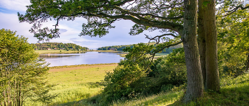

Inför årets vandringssäsong är ledmarkeringarna förbättrade efter förra årets hyggen. Vi hälsar er därför välkomna ut i den vackra naturen och hoppas ni ska få en härlig vandringstur. Har ni synpunkter eller frågor hör av er så vi kan förbättra vårt arbete. Hälsningar Olofströms kommun