
Stig till Kiholmsristningen
- Archaeological
- County: Stockholms län
- 6819.27 km away from you
Trail details
- Length 0.8 km
- Time 15 min
- Difficulty Red - demanding
Actions
Description
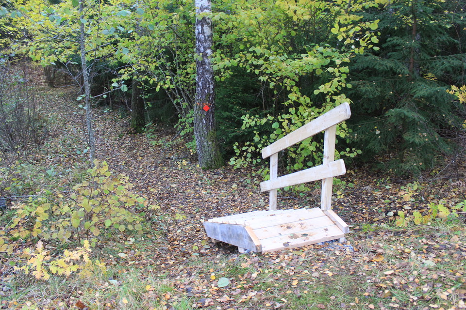
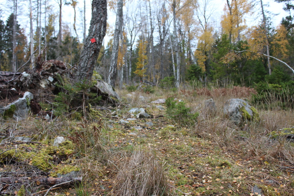
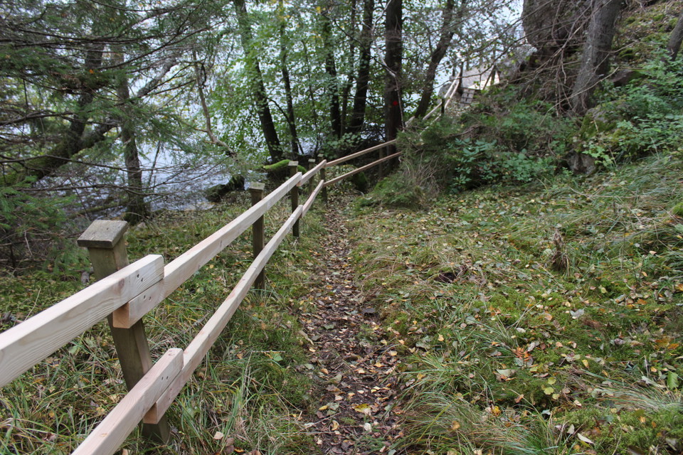
The path is marked in red with metal tags on trees and leads you from a graveled area in the roadside to the rock carving in Kiholm. The path is hilly with some rocky and very steep sections. Along the last steep part of the path down to the rock carving on the shore there is a guide.
Activities And Facilities
- Archaeological
Surface
The path is hilly, rocky and steep in places.
Hills
Very hilly.
Parking
There is no organized parking but you can park your car at the roadside where there is a graveled area with space for about 1 car.
Contact
Email address
Södertälje kommun
Organization logotype

Please be aware that some of these texts have been automatically translated.
I’ve been here
I want to go here
Questions & Answers
Ask a question to other Naturkartan users.
Reviews
0 reviews
- 5 :
- 4 :
- 3 :
- 2 :
- 1 :
Users images
No user images yet. Be the first to share!
