
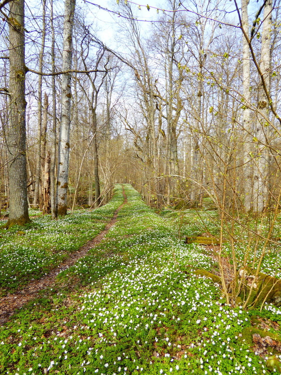
Vandringsstig, Tomsängen
- Hiking
- Walking
- Near parking
- Near Public Transport
- County: Södermanlands län
Trail details
- Length 2.5 km
- Time 45 min
- Difficulty Green - simple
Actions
Description
Pleasant tour through deciduous forest and oak groves. Follow orange markings on trees and poles. Note that the trail goes through pasture land where cows graze during the summer.
Up-to-date information about the trail and the reserve can be found on the County Administrative Board's website.
Activities And Facilities
- Walking
- Hiking
Accessibility
- Near parking
- Near Public Transport
Surface
Nature trail
Communications
Take line 402 towards Högsjö/Vingåker and get off at the "Bistorp" stop. From the stop, follow the asphalt road towards Högsjö for about 300 m, and you will find the nature conservation area with the trailhead on the left. Please note that tours are limited. Read more at www.sormlandstrafiken.se
Contact
Address
Vingåkers kommun 643 80 Vingåker Telefon: 0151-193 51 Växel: 0151-191 00
Email address
Ellinor Larsson
Please be aware that some of these texts have been automatically translated.
I’ve been here 5



I want to go here 7




Questions & Answers
Ask a question to other Naturkartan users.
Reviews
0 reviews
- 5 :
- 4 :
- 3 :
- 2 :
- 1 :
Users images
No user images yet. Be the first to share!
