
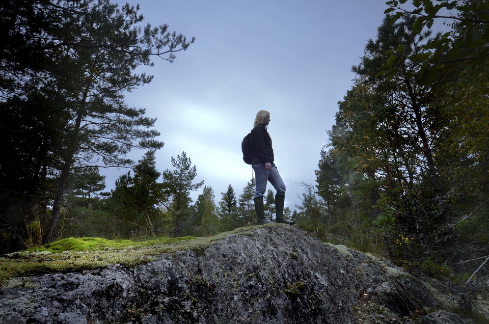
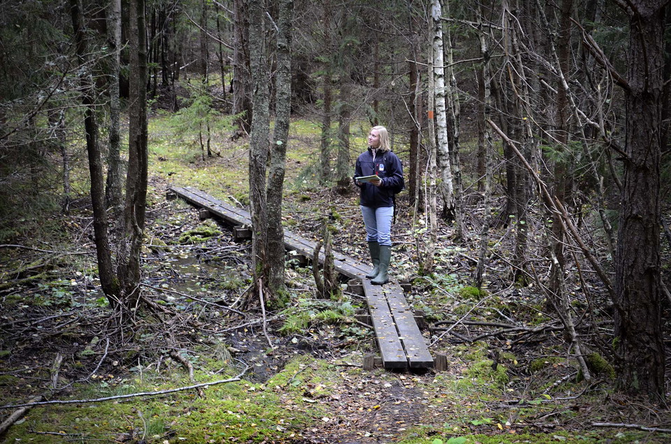
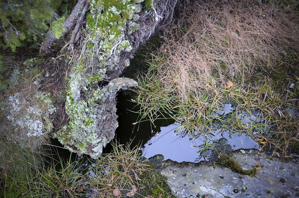
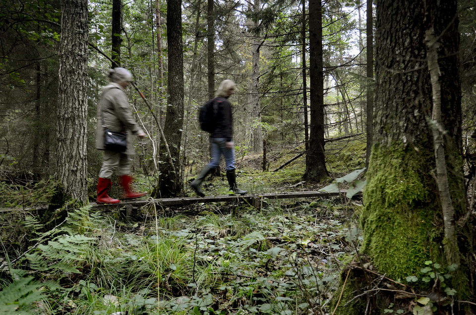
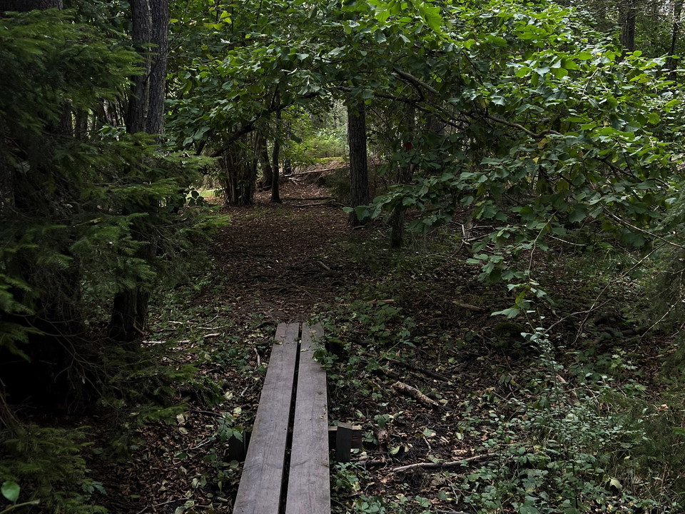
Trails of the Tomtaklintforest
- Walking
- Hiking
- Near Public Transport
- County: Södermanlands län
- 6835.85 km away from you
Trail details
- Length 2.9 km
Actions
Description
Activities And Facilities
- Walking
- Hiking
Accessibility
- Near Public Transport
Facts
Skyddsår: 2009 Areal: 54,4 hektar Karaktär: Kalkbarrskog, barrnaturskog, blandskog Kommun: Trosa Förvaltare: Trosa kommun Skyddsområde: Naturreservat, natura 2000
Directions
The nature reserve is located about one kilometer northeast of Trosa center, east of county road 218, between the residential area Tomtaklint and Åda recreation area. Public: The reserve is adjacent to the town. The Tomtaklint bus stop is closest to the reserve.
Contact
Email address
Trosa kommuns turistcenter
Organization logotype

Please be aware that some of these texts have been automatically translated.
I’ve been here 2

I want to go here 7

Reviews
—
0 reviews
- 5 :
- 4 :
- 3 :
- 2 :
- 1 :
Questions & Answers
Ask a question to other Naturkartan users.
Users images
Share your photos of the place!
