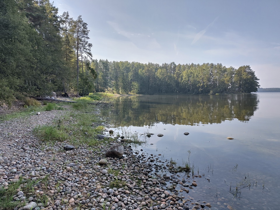
Vårskogsudden
- Municipality: Nyköping
- 6795.82 km away from you
- 2.5 km
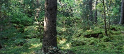
Beautiful small waterfront loop with several nice swimming bays, both sandy and pebble beaches.

Södermanlands län
Beautiful small waterfront loop with several nice swimming bays, both sandy and pebble beaches.
Alternative route across the beautiful Lindbacke
Bridleway 4.6 km plus access roads
Walk, run, cycle from Ängstugevägen to Malmbryggshagen. Norra Strandparkspromenaden is a lovely walk in beautiful nature The entire route goes from the harbor to Malmbryggshage. This part is very hilly. This part is 3 km of the total 9 km long walk which is…
The course is used for Strängnäs 500 - an event for Walk, Run, Run and Roll and Rush for participants with disabilities. Arranged with different distances on Sweden's national day, June 6 or the next weekday. The course passes the forest area Tingstuhöjden…
Walkway from the exercise trail to the north side of the bog where there are bench tables
Detour to the rest area at the southern tip of Janstorpsmossen
Simple walking path through the nature reserve with connection to the residential area Harg and Brandkärr
Paved pedestrian and bicycle path through Hållet-Marieberg-Stenbro nature reserve
Circular loop Bullersta-Söra
Djulöstigen är cirka 1 kilometer lång och följer Djulösjöns västra strandkant och går ihop med vår vandringsled i Djulöområdet som är cirka 7 km lång. Längs med Djulöstigen hittar du ett vindskydd och en grillplats.
It offers a short, illuminated, circular loop of 820 meters. The loop is very suitable for movement activity among parents and relatives who want to be in the vicinity of children and young people when they practice their various activities at Larslunda spo…
Walkway adapted for wheelchairs. 450 m from the disabled parking lot to the barbecue area on the shore