
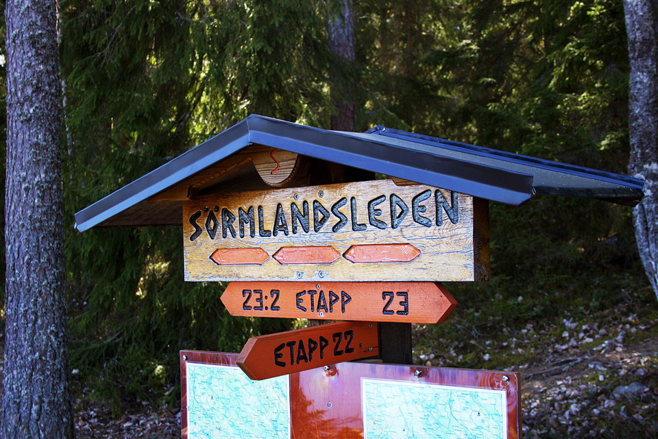
Hagtorp, väg 53 - Hälleforsnäs, Sörmlandsleden, etapp 22
- Hiking
- Near Public Transport
- County: Södermanlands län
- 6767.39 km away from you
Trail details
- Length 16.5 km
Actions
Description
The route runs through varied forest terrain. There is also a detour to a loop through Rosmossen, a nature reserve with magnificent scenery.About a kilometer before Hälleforsnäs is the "rocking stone". A unique stone that rocks when you push it but still remains in place.
It is free to hike on the Sörmland Trail, which stretches about 100 miles through Sörmland's varied landscape. The trail is marked with orange markings on trees and posts and is run by a non-profit organization and it is thanks to its members that the trail can live on.
[More information and how to become a member can be found here (https://www.sormlandsleden.se/)
Activities And Facilities
- Hiking
Accessibility
- Near Public Transport
Please be aware that some of these texts have been automatically translated.
I’ve been here 6




I want to go here 5



Questions & Answers
Ask a question to other Naturkartan users.
Reviews
0 reviews
- 5 :
- 4 :
- 3 :
- 2 :
- 1 :
Users images
No user images yet. Be the first to share!
