


Hiking trail through the nature reserves at Fågelmossen
- Hiking
- Near parking
- Circular trail
- County: Östergötlands län
- 6732.20 km away from you
Trail details
- Length 13.0 km
- Difficulty Red — demanding
Actions
Description
Activities And Facilities
- Hiking
- Circular trail
Accessibility
- Near parking
Surface
Forest paths, rocky areas, roads, marshes.
Contact
Address
Kontakta Motala kommun om du har frågor om Motalas Naturkarta.
Email address
Organization logotype

Please be aware that some of these texts have been automatically translated.
I’ve been here 24









I want to go here 67










Reviews
—
2 reviews
- 5 :
- 4 :
- 3 :
- 2 :
- 1 :
Questions & Answers
Ask a question to other Naturkartan users.
Users images
Share your photos of the place!

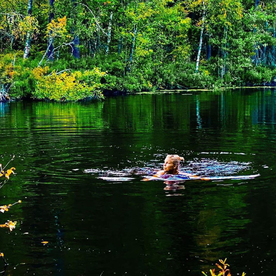
Mycket fint område, men också ganska krävande. Inget för små barn eller äldreäldre. Mycket nedfallna träd, och rejält blöta partier. Stigkartan är inte längre helt korrekt, följ istället de orangea markeringarna.