
Lunds backe
- Archaeological
- Culture
- Near parking
- County: Östergötlands län
- 6742.77 km away from you
Actions
Currently
https://www.youtube.com/watch?v=hz-ZMGH5eRs - för film om Lunds backe gjord av Länsstyrelsen Östergötland
Description
Activities And Facilities
- Culture
- Archaeological
Accessibility
- Near parking
Facts
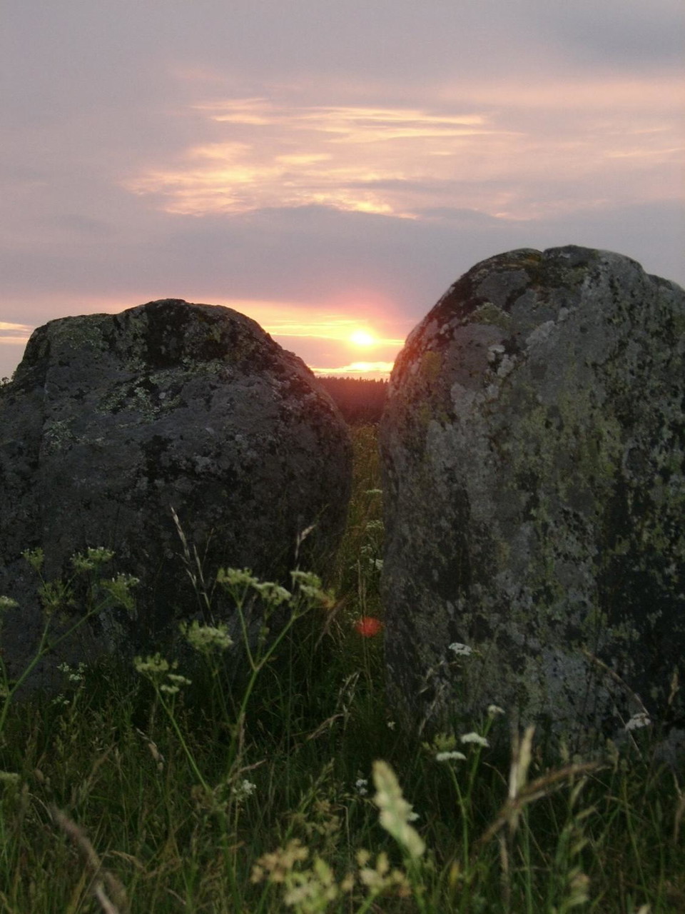
En mycket spännande plats, med mängder av synliga gravar från järnåldern och spännande sägner.
Directions
Drive road 1006 between Skänninge and Fornåsa. At Hassla it is signposted towards Lunds backe with a blue ancient remains sign. Follow the gravel road for about 750 m. Then follow the path on the right side of the road up to the grave field.
Coordinates:
58°26'5.5"N 15°9'20.5"E
Contact
Address
Tel: 010-234 50 00
Email address
Mjölby kommun, kultur- och fritidsförvaltningen
Organization logotype

Please be aware that some of these texts have been automatically translated.
I’ve been here
I want to go here 5



Reviews
—
0 reviews
- 5 :
- 4 :
- 3 :
- 2 :
- 1 :
Questions & Answers
Ask a question to other Naturkartan users.
Users images
Share your photos of the place!
