Bergslagsleden
Välkommen till Bergslagsleden!

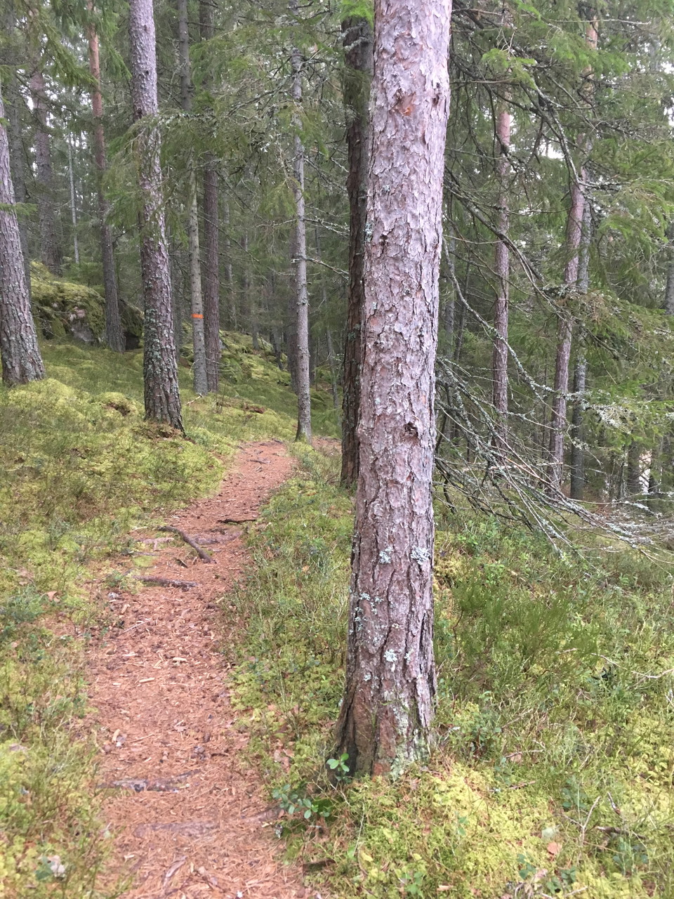
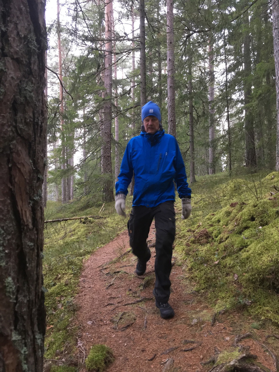
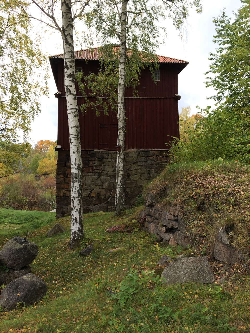
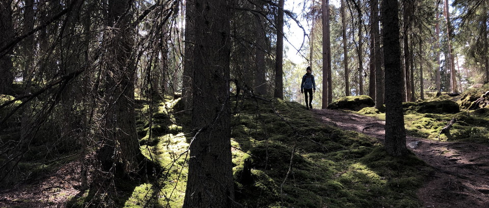
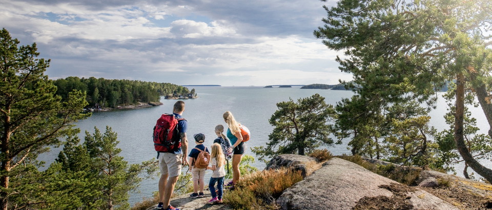
Norra Vätternleden is the start of a three-day round trip that goes from Olshammarsgården along the shore of Lake Vättern and up past some smaller lakes to Stenkällegården. The trail is under development so at the moment it is mostly smaller gravel road or forest road. On a few occasions you have to walk along rv 49 for about fifty meters. At Igelbäcken there is the opportunity to get out on Utnäset and meet the Vättern coastline.
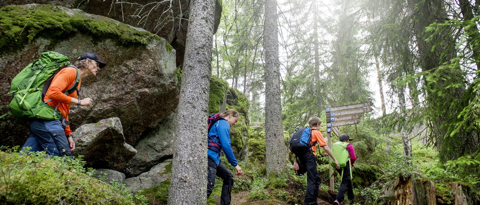
The Norra Vätternleden trail connects to the Bergslagsleden trail, which can be followed up to Tivedstorp. The hike then continues on the Bergslag Trail to just south of Bosjön, where the Bergslag Trail and Monka Trail split. Then you follow Monka Trail south down back to Olshammar.
Accommodation is available at Olshammarsgården, Stenkällegården, Stigmansgården and Tivedstorp. There are shelters with barbecue areas along the Bergslag Trail and at S Asplången.
Minor gravel roads and forest roads and path.
Besök vår webb visitaskersund.se
VisitAskersund Turistinformation

Please be aware that some of these texts have been automatically translated.




Ask a question to other Naturkartan users.
0 reviews
No user images yet. Be the first to share!