
Best hiking trails in Mora
Mora
Naturkartan samlar de vandringslederna i Mora som är populärast bland våra användare.
Images

Map
33 Best hiking trails in Mora


Siljansleden, Björntjärn - Åsengården
- Municipality: Mora
- 6589.95 km away from you
- 23.7 km
- Difficulty: Blue
Björntjärnskojan ligger i Mockalbergets naturreservat och här i närmaste omgivningarna finns fin naturskog att uppleva. Vandringen vidare mot Åsengården leder främst genom skog på stigar som emellanåt inte är så breda. Längs vägen passerar man "Fäbodrundan"…

Siljansleden, Björka till Nybron
- Municipality: Mora
- 6558.70 km away from you
- 13.9 km
The route from Björka fäbodar to Nybron goes over the relatively steep Grönsberg to then pass the Kansbol fäbod, then on towards Indsjön and Indnäs fäbodar. At Nybron there is a resting cabin next to Våmån. Indnäs: Indnäs is a beautiful pasture with an old-…

Siljansleden, Mångberg till Siljansfors
- Municipality: Mora
- 6573.65 km away from you
- 18.1 km
The stretch from Mångberg to Siljansfors passes through Borrbergs, Rossbergs and Hållens fäbodar. At Rossbergs fäbodar, the fäbod operation ceased around 1960. Hållens fäbodar was previously an iron production site. The trail also passes Malin's Malibambo b…


Siljansleden, Nybron till Fryksås
- Municipality: Mora
- 6558.77 km away from you
- 13.8 km
From Nybron, Siljansleden climbs up towards Näsberg and on towards Fyriberg. The trail then goes through Rädåns nature reserve up towards Fryksås. Näsberg: Näsbergs fäbodar is located on the southern slope of Hustjärnberg, at an altitude of 420 meters. Näsb…

Siljansleden, Siljansfors till Fulåberg
- Municipality: Mora
- 6568.52 km away from you
- 9.0 km
The stage from Siljansfors to Fulåberg passes Åmbergs fäbodar. Fulåberg: Fulåbergs fäbodar is located at just over 400 m a.s.l. Fulåberg was one of the longest active farms in Mora parish. In the 1920s, 18 of the farms were active and there were about 10 co…

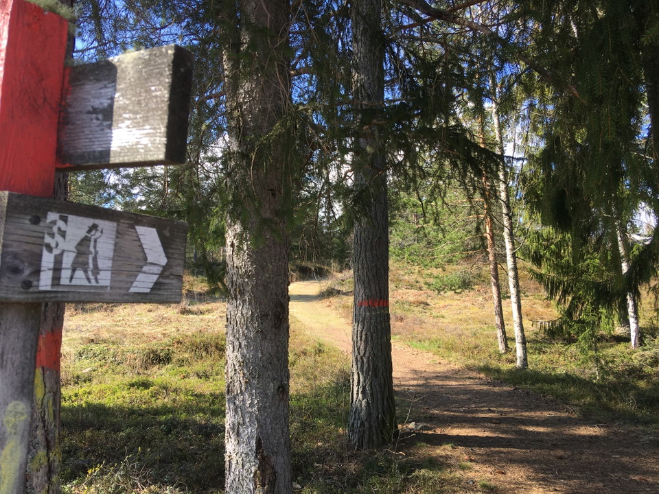

Siljansleden, Norra Garberg till Björka
- Municipality: Mora
- 6557.13 km away from you
- 16.1 km
NOTE: Siljan trail over Spjutmo closed. Fortum is carrying out work at Spjutmo power plant and because of this it is not possible to get across the Österdal River. No date is set for when the work is completed but it will last at the shortest until December…

Via Karl Lärkas stuga till parkering
- Municipality: Mora
- 6583.10 km away from you
- 1.2 km
Path between nature reserve and homestead parking lot. Partially follows road. About 1.1 km.
Best hiking trails in Mora
Naturkartan samlar de vandringslederna i Mora som är populärast bland våra användare.
