

Hökesån, strövstig Spinnet - Slättens IP - Suttra
- Hiking
- Trail running
- Brown trout
- County: Jönköpings län
- 6715.54 km away from you
Trail details
- Length 5.5 km
Actions
Currently
Parts of the path (from the treatment plant down to Slättens IP) can be difficult to access at certain times of the year when there are high flows.
Description
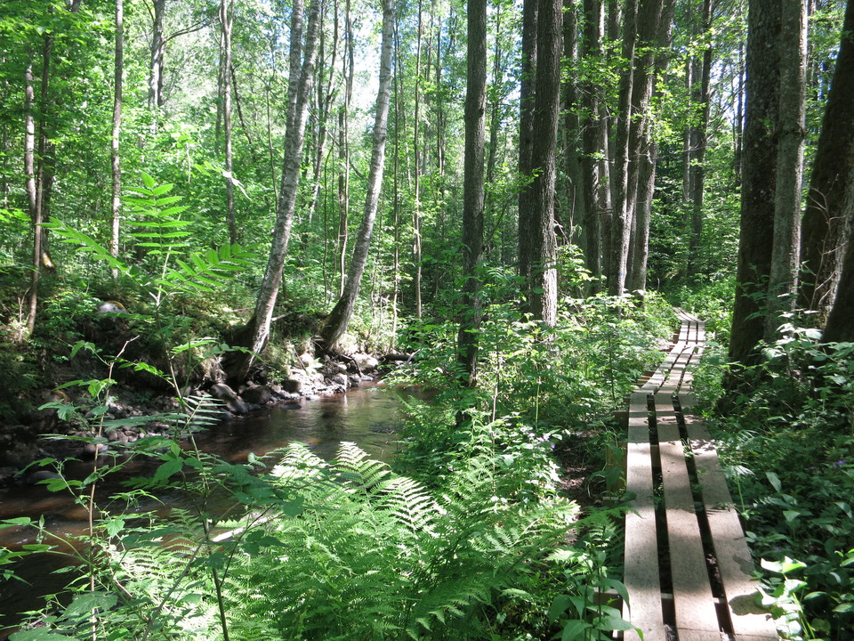
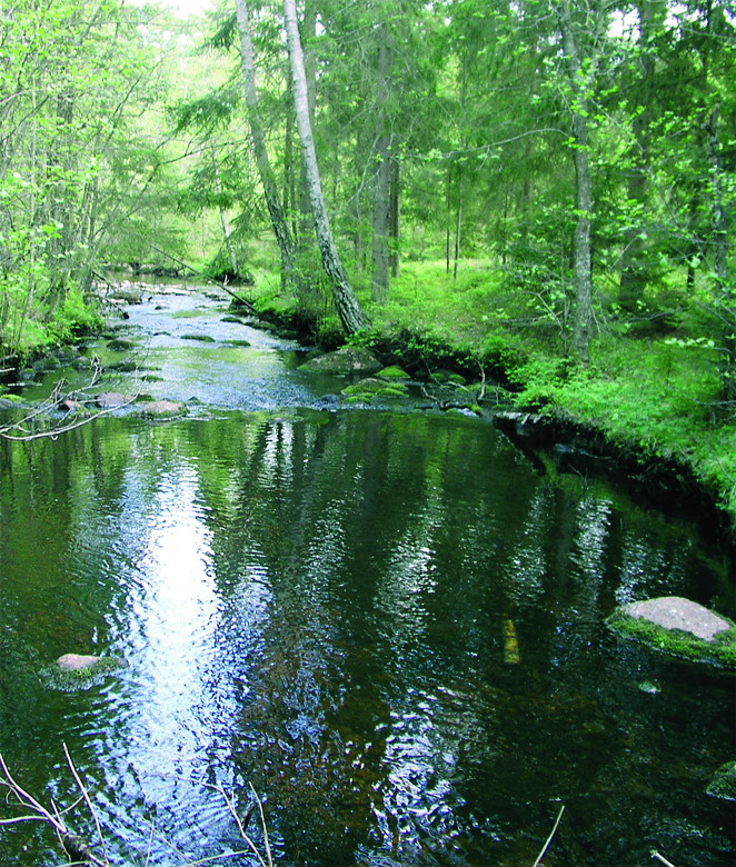
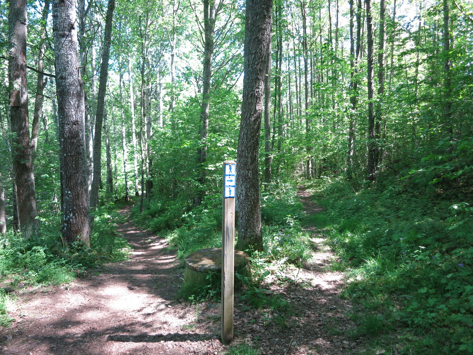
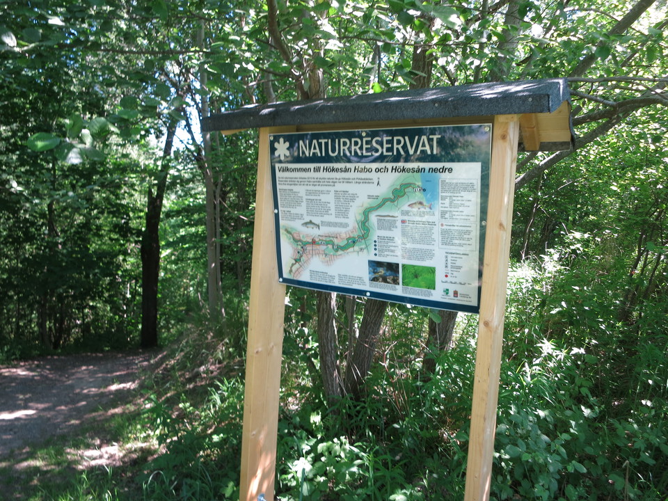
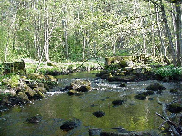
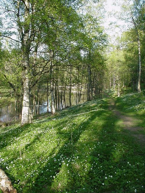
A beautiful hike along the Hökesån nature reserve. The path stretches from Spinnet all the way down to the outlet in Vättern. The path is challenging in some places.
Activities And Facilities
- Hiking
- Trail running
Parking
Available in connection with the start at Spinnet but also at Slättens sports ground.
Contact
Email address
Kultur- och fritidsförvaltningen i Habo kommun
Organization logotype

Please be aware that some of these texts have been automatically translated.
I’ve been here
I want to go here
Questions & Answers
Ask a question to other Naturkartan users.
Reviews
0 reviews
- 5 :
- 4 :
- 3 :
- 2 :
- 1 :
Users images
No user images yet. Be the first to share!
