
Närsakarleden, När
- Hiking
- County: Gotlands län
- 6986.08 km away from you
Trail details
- Length 11.0 km
- Difficulty Green - simple
Actions
Description
The Närsakar trail runs in a circle along both sides of Närsån, through fertile farmland, spruce forests and pine forests where the white anemones bloom in the spring. The trail is about 11 km long and runs partly along the highway, which makes it easy to get around.
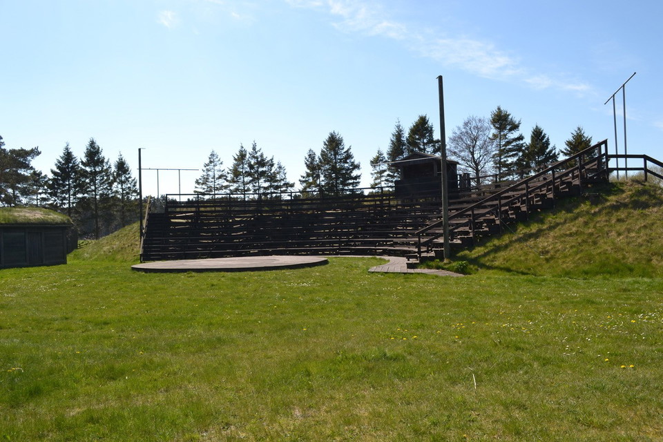
At the Närsakar stage, at the top of the stand, you have a fantastic view of the estuary and Lausviken all the way to Lausholmar. Take a break here to enjoy the magical view and the silence that prevails.
Närsån is also a popular fishing area, so it's not uncommon to come across the occasional fisherman in search of the silver roach, which is found here.
Rest areas and toilets are available at Närsakar, ICA Närbodi and Gangvidefarm, which are all located along the trail.
Activities And Facilities
- Hiking
Contact
Email address
Turistbyrån på Gotland
I’ve been here
I want to go here 2

Questions & Answers
Ask a question to other Naturkartan users.
Reviews
0 reviews
- 5 :
- 4 :
- 3 :
- 2 :
- 1 :
Users images
No user images yet. Be the first to share!
