
Närsakarleden, När
- Vaellusreitit
- Kunta: Gotlands län
- 6986.08 km päässä sinusta
Polun yksityiskohdat
- Pituus 11.0 km
- Vaikeuksia Vihreä - yksinkertainen
Toiminnot
Kuvaus
The Närsakar trail runs in a circle along both sides of Närsån, through fertile farmland, spruce forests and pine forests where the white anemones bloom in the spring. The trail is about 11 km long and runs partly along the highway, which makes it easy to get around.
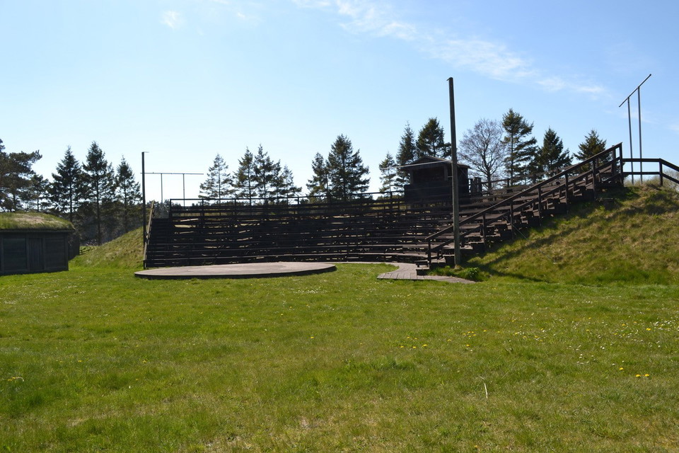
At the Närsakar stage, at the top of the stand, you have a fantastic view of the estuary and Lausviken all the way to Lausholmar. Take a break here to enjoy the magical view and the silence that prevails.
Närsån is also a popular fishing area, so it's not uncommon to come across the occasional fisherman in search of the silver roach, which is found here.
Rest areas and toilets are available at Närsakar, ICA Närbodi and Gangvidefarm, which are all located along the trail.
Toimintaa ja tilat
- Vaellusreitit
Ota yhteyttä
Sähköpostiosoite
Turistbyrån på Gotland
Olen ollut täällä
Haluan mennä tänne 2

Kysymykset & vastaukset (Q&A)
Esitä kysymys muille Naturkartan-käyttäjille.
Arvostelut
0 arvostelut
- 5 :
- 4 :
- 3 :
- 2 :
- 1 :
Käyttäjien kuvat
Käyttäjien kuvia ei ole vielä. Ole ensimmäinen, joka jakaa kuvan!
