
Närsakarleden, När
- Vandring
- Landsdel: Gotlands län
- 6986.08 km fra dig
Ruteoplysninger
- Længde 11.0 km
- Sværhedsgrad Grøn – enkel
Handlinger
Beskrivelse
The Närsakar trail runs in a circle along both sides of Närsån, through fertile farmland, spruce forests and pine forests where the white anemones bloom in the spring. The trail is about 11 km long and runs partly along the highway, which makes it easy to get around.
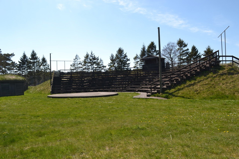
At the Närsakar stage, at the top of the stand, you have a fantastic view of the estuary and Lausviken all the way to Lausholmar. Take a break here to enjoy the magical view and the silence that prevails.
Närsån is also a popular fishing area, so it's not uncommon to come across the occasional fisherman in search of the silver roach, which is found here.
Rest areas and toilets are available at Närsakar, ICA Närbodi and Gangvidefarm, which are all located along the trail.
Aktiviteter og faciliteter
- Vandring
Kontakt
E-mailadresse
Turistbyrån på Gotland
Jeg har været her
Jeg vil gerne derhen 2

Spørgsmål og svar
Stil et spørgsmål til andre Naturkartan-brugere.
Anmeldelser
0 anmeldelser
- 5 :
- 4 :
- 3 :
- 2 :
- 1 :
Brugernes billeder
Der er endnu ingen brugerbilleder. Vær den første til at dele et!
