Ljungryda, Naturreservat
- Nature reserve
- County: Blekinge län
Actions
Description
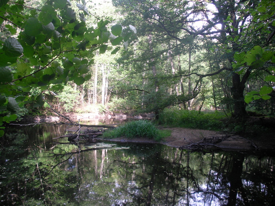
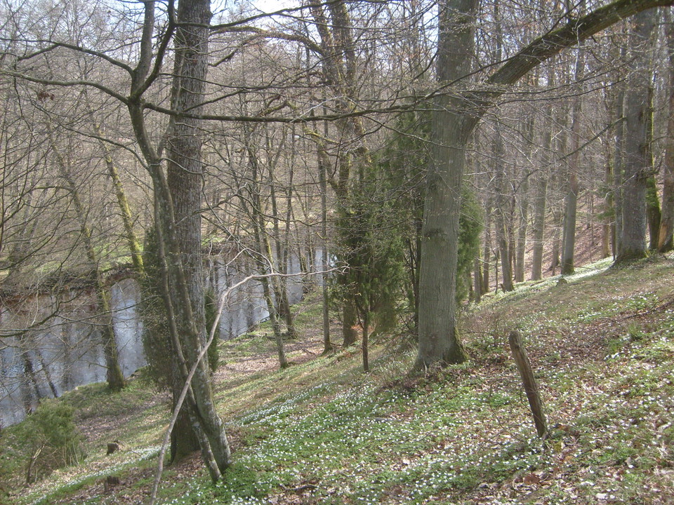
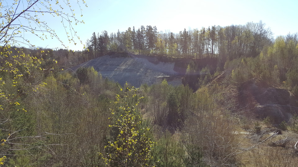
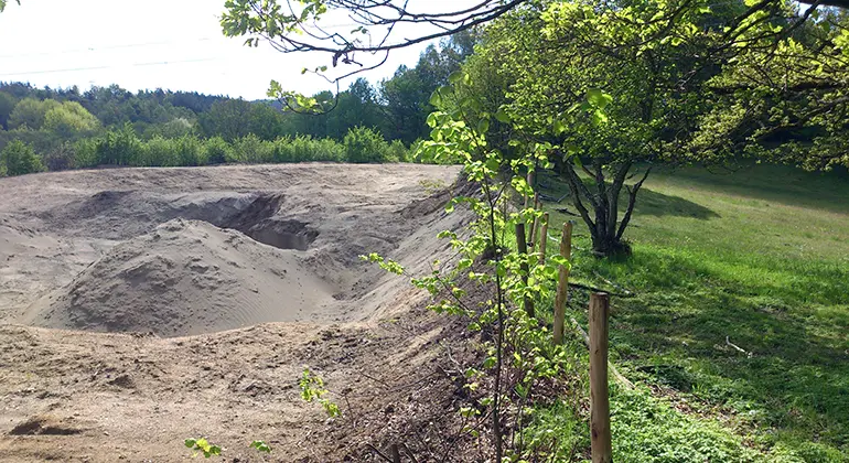
Welcome to a hilly landscape characterized by ice river deposits in the Holjeån valley, on the border between Blekinge and Skåne. Holjeån's winding course is lined with steep broadleaf slopes and pastures. In the northeast, the Bronze Age burial mound Kungagraven sits on top of a hill, a sign of the area's long cultural history. To the northwest, there are open sandy environments in a former quarry area.
Risk of falling trees along the trail in Ljungryda. Visitors are therefore advised to pay extra attention to dead trees and broken branches that risk falling over the trail.
Due to reduced funding for the management of nature reserves, this cannot be addressed at present. We at the County Administrative Board regret this.
Ljungryda is an approximately 17-hectare nature reserve, which together with the 19-hectare nature reserve Östafors Bruk, on the other side of the county border in Skåne, forms a coherent area. The nature reserves are located in an attractive river valley landscape that is relatively easily accessible for outdoor recreation.
Outdoor recreation and accessibility
In the northwestern part of the nature reserve there is a small reserve parking lot. There are no accessibility adaptations within the Ljungryda nature reserve, but the path leading into the reserve from the parking lot is leveled and a little wider the first bit. There are about 1 kilometer of marked trails within Ljungryda nature reserve, partly in quite steep terrain. During parts of the year, cows graze in the grasslands and adjacent forests.
The adjacent Östafors Bruk nature reserve on the Skåne side also has a reserve parking lot and marked trails, as well as a rest area, shelter and toilet. Ljungryda's and Östafors Mill's hiking trails can be linked together to form circular loops of varying lengths, from around 2 kilometers and upwards, depending on which trails and roads you choose.
From the Ljungrydas reserve car park it is about 300 meters to the Bronze Age mound Kungagraven, which is located on a hill in the northeastern part of the reserve. Another fifty meters to the east is the Banvallsleden walking and cycling path, which passes the nature reserve on its way between Olofström and Sölvesborg.
Mighty ice river deposits
The Ljungryda nature reserve was originally established primarily to preserve the area's ice river deposits and protect them from mining activities. At the end of the last ice age, extensive ice river deposits were deposited in the Holjeån crevasse valley. Holjeåsen extends from Ivösjön in the south to Olofström in the north, and most of its hills and ridges are delta formations with flat surfaces.
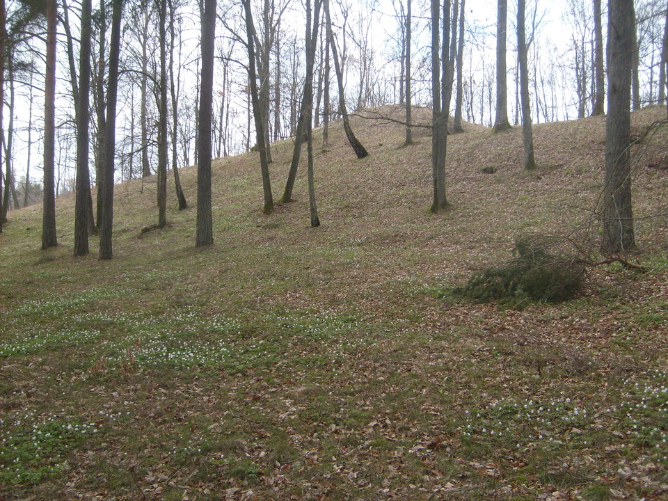
The valley's extensive gravel and sand deposits have offered good opportunities for agriculture and settlement since ancient times. During the Bronze Age, the Holjeån valley was an offshoot of the extensive central settlement of Näsum and Ivösjön, which is reflected in a number of large Bronze Age burial mounds along the river. The largest of these is Kungagraven, which is about 20 m in diameter and 3 m high. It is located on top of an ice river hill in the north-eastern part of the nature reserve. There is evidence that a prehistoric longhouse has also been found in the vicinity.
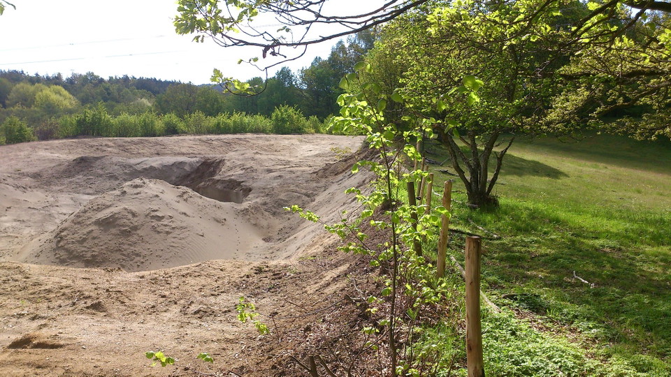
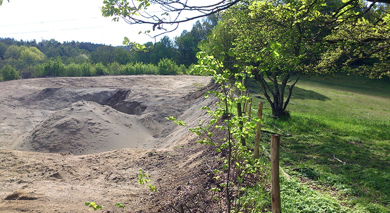
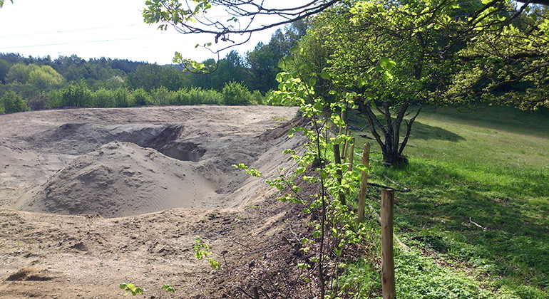
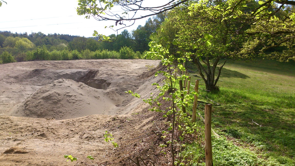
Over the last century, many sand and gravel deposits have been eroded. In the northwestern part of the nature reserve there is a former quarry area where large amounts of sand were mined and where the height differences are now 22 meters between the highest and lowest points.
Rich animal and plant life
Over the course of time, the Holjeån river has burrowed into the ice river deposits. Along parts of the river valley, including at Ljungryda, there are dramatically steep slopes, which level out on the heights. The varied nature of the nature reserve, with the Holjeån river, floodplain forests, broadleaf forests, herb-rich grasslands and open sandy soils, means that there is a rich plant and animal life with a great diversity of species and very high natural values.
In and around the Holjeån river you can, for example, see brown trout, brook lamprey, hairy clawed crayfish, the fern saffron, dragonflies, common sturgeon, white sturgeon and, if you are lucky, kingfishers. Along the river there are riparian forests of alder, where the lesser spotted woodpecker thrives.
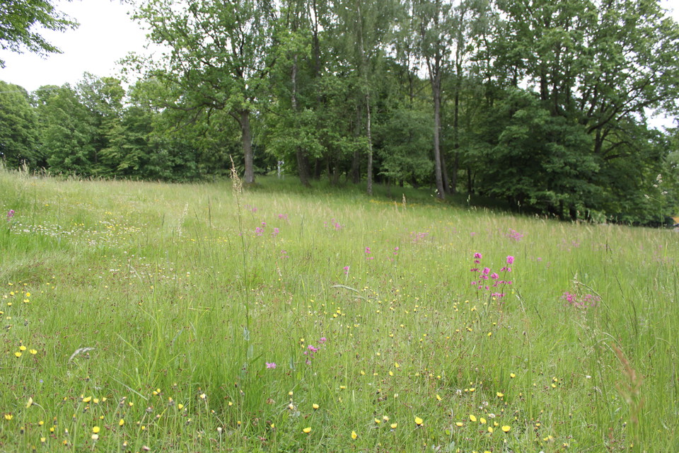
The steep oak and hornbeam-dominated broadleaf slopes level out on the heights into dry, open grasslands that are grazed. In the pastures there are some beech-dominated groves of trees and on the south side of Kungagravskullen there is a lime-dominated slope forest.
Species-rich sandy environments
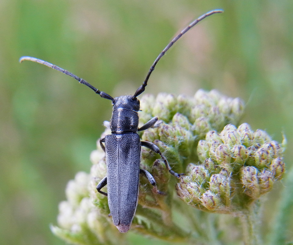
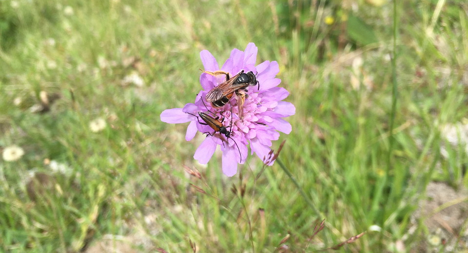
In the former quarry area in the northwest, open sandy environments alternate with overgrown areas, with everything from moss-, herb- and grass-covered areas to shrub- and tree-covered areas. Many animal and plant species depend on open, sunlit sand. But open sandy areas are scarce nowadays and areas with large sandy fields, such as here in Ljungryda, are particularly valuable. Many pollinators, not least the wasp group, build their nests in open, sunlit sand. Some 70 species of wasps have been recorded in the nature reserve, including wild bees such as the monk sun bee, meadow sun bee, dune moth bee, alvar moth bee, coastal banded bee, lacewing bee, wading sand bee, silver sand bee and pan blood bee. There are also goldenrod beetles and other beetles worth protecting, as well as many butterflies.
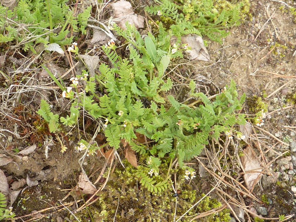
The dry, lean, open sandy soils are home to unusual, uncompetitive plants such as white nettle and dwarf radella. There are also plants that contribute important pollen and nectar resources, such as golden clover, chickweed, goat's beard, cornflowers, bluebells and willow.
Mill era at Holjeån
Holjeån flows at a leisurely pace along the eastern edge of the nature reserve, and at the passage into Skåne and the Östafors mill nature reserve, it turns into more rapid stretches. The rapids at Östafors were once used as a power source for sawmills, mills, nail factories and tanneries. The rapids were completely dammed in the 1920s and hydropower was used at the mill until the 1960s.
After Östafors mill closed down, most of the buildings were demolished, but some still remain as memorials from the busy mill era. In 2007, the dam at Östafors mill was demolished, the water was able to flow freely again and the fish were once again able to migrate freely up the river.
Activities And Facilities
- Nature reserve
Facts
Year of protection: 1986, extended in 2012 and 2023
Municipality: Olofström
Character: Hilly river valley landscape, ice river deposits, gravel formations, broadleaf forests, pastures, sandy soils, outdoor life, cultural history
Area: 17 hectares, of which 16.6 hectares are land and 0.4 hectares water
Landowners: State, companies
Manager: Blekinge County Administrative Board
Type of protection: Nature reserve and partly Natura 2000
Directions
Exit the E22 at Pukavik and take road 15 towards Olofström. Turn towards Näsum and Bromölla (road 116) about 500 meters before the roundabout at Jämshög. After 3 km, turn right onto Sibbarpsvägen at the sign "Naturreservat Ljungryda Östafors". Drive through the nature reserve Östafors bruk and keep left onto Ljungrydavägen. Continue about 300 meters, and the nature reserve's parking lot is on the right side of the road.By bicycle, the easiest way to get to the area is via Banvallsleden from Olofström or Näsum.You can take the bus from Olofström, Jämshög, Bromölla or Näsum to the Östafors stop and from there walk along Sibbarpsvägen or Banvallsleden to the nature reserve. It's just under a kilometer's walk.
Regulations
You are welcome to visit Ljungryda, but please note that it is not allowed to
- damage the ground or seabed, destroy or damage solid natural objects or surface formations
- remove or damage cultural-historical remains
- unduly disturb wildlife
- damage living or dead trees and shrubs or vegetation in general, remove or burn dead wood, dig up plants
- capture and collect invertebrates in such a way as to damage or destroy their biotopes or reproductive habitats
- carry an unleashed dog, other than for protection hunting
- driving a motorized vehicle, riding a horse or riding a bicycle
- light fires or use barbecues and alcohol kitchens other than in designated fireplaces
- launching a boat or other watercraft other than for a temporary stay in the area
- camping for more than one night
- setting up a caravan, motor home or similar
- making disturbing noise.
Without permission from the county administrative board, you may not
- collect mosses, lichens or wood-living fungi, other than what is reasonably necessary for species identification
- conduct scientific research involving sampling or the installation of equipment
- set traps for the collection of invertebrates
- use the area for competitions or exercises that may disturb nature or the public's outdoor recreation
- affixing a board, placard, poster, sign, marker, inscription or similar device.
Contact
Email address
Länsstyrelsen Blekinge
Organization logotype
Please be aware that some of these texts have been automatically translated.
I’ve been here
I want to go here 1
Questions & Answers
Ask a question to other Naturkartan users.
Reviews
0 reviews
- 5 :
- 4 :
- 3 :
- 2 :
- 1 :
Users images
No user images yet. Be the first to share!