Two new ARK56 trails on Almö
Images
Blekinge’s archipelago is known for its calm pace and the variation between open fields, lush forests and coastal landscapes — and Almö is no exception. Here you’re met by grazing pastures, wind-shaped rock slabs, old stone walls and the presence of the sea almost wherever you turn. Now two of Almö’s popular hiking trails are becoming part of ARK56: Kvalmsörundan and Uddenleden. Two loops that capture much of what makes Blekinge’s coast so special.
Kvalmsörundan – 3.8 km through forest, rocky terrain and open pastures
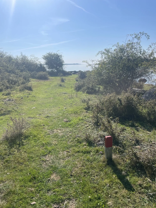
You reach Kvalmsö via a small bridge from Almö — one of those bridges that marks a clear shift from everyday life to nature. The trail is marked with ARK56 signs and offers several different landscapes in a short distance.
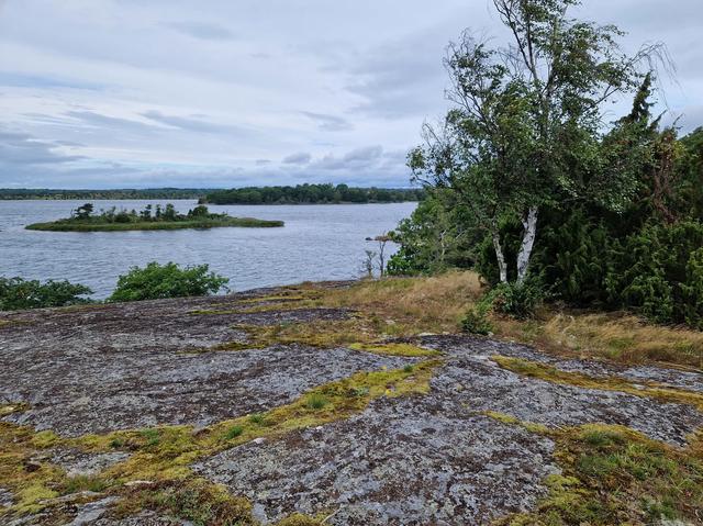
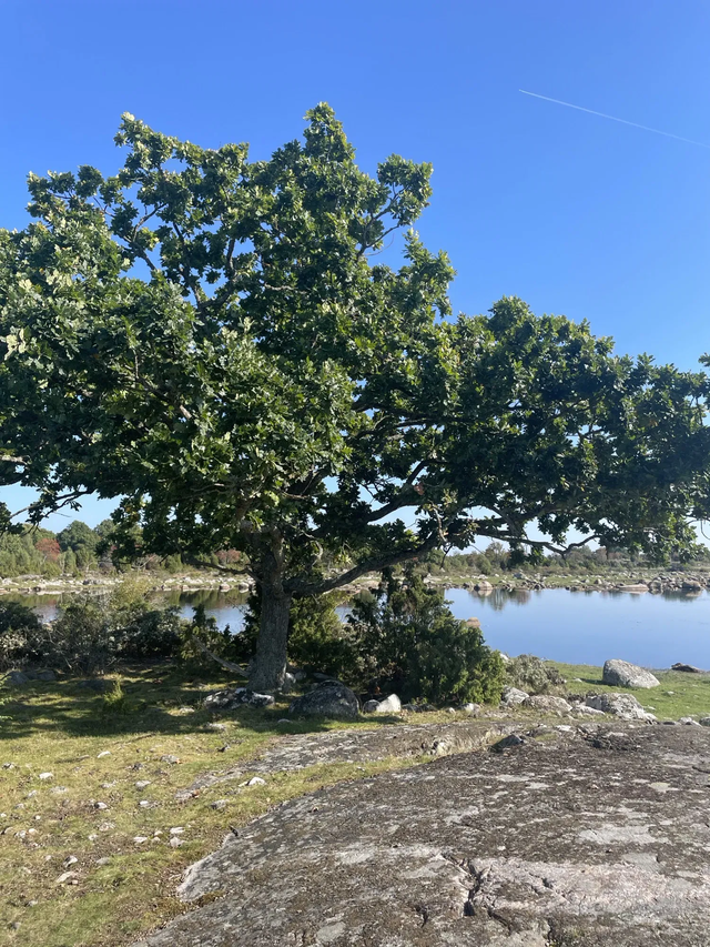
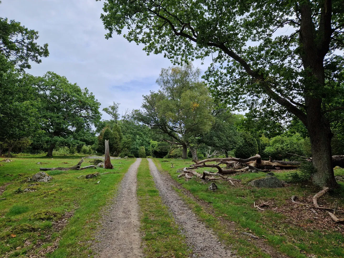
The walk begins in spruce and oak forest before the terrain opens up into the first grazing pastures, surrounded by traditional stone walls reminding you of how the land has been used for generations. Wide views stretch out here, with glimpses toward the water as you pass old oaks and traces of historical cultivation such as stone walls, small field islands and old clearance cairns.
On the island’s western side there’s a rest spot right by the water — a perfect place to sit down, have a snack or go for a swim on warm summer days. From here, the path continues up onto the rocky terrain where the view towards Slättanäs and the Listerby archipelago looks like a patchwork of islands and bays.
The trail continues through tree-covered pastures and over small steps in the stone walls. On the northwestern part of the island, the landscape opens up again, and here you’ll find a headland that almost begs you to stop and take in the quiet for a moment.
Parking and access
You get here most easily via the parking area at Vambåsa Hagmarker, close to the large wetland, or via Hjortahammar burial ground. The road out to Kvalmsö passes several wire gates — remember to close them after you.

Uddenleden – 2.7 km along the western coastline of Almö Udde
Uddenleden lies on the western side of Almö Udde and follows the coastline for most of the route. The starting point is at Hasslövägen, directly across from the parking area at the southern tip of the nature reserve. From here, the trail heads north to connect with the accessible path east of Slätthammar.
This hike offers pastures, rocky terrain and coastal meadows — and on the wetter parts, boardwalks make the route easy to walk. Four bench-table spots are placed along the way, making the trail perfect for anyone who wants to take it slow, enjoy a break or simply look out over the sea.
The trail is marked with ARK56 signs all the way, and it can easily be combined with the longer Almöleden if you want to create a loop or continue further north from Slätthammar.

Why Almö is such a hiking favourite
Almö is easy to reach, the trails are a perfect length and the sea is present almost everywhere. Here you walk through grazing land, stone wall systems, rocky terrain, viewpoints and open coastal landscapes that together create a nature experience that feels distinctly Blekinge.
These are two trails you can enjoy all year round — from crisp winter days to fragrant summer evenings and colourful autumn walks.

Categories
-
Hiking
Contact
Address
Blekinge Arkipelag
Kurpromenaden 4
372 36 Ronneby
Email address
Team ARK56
Organization logotype


