
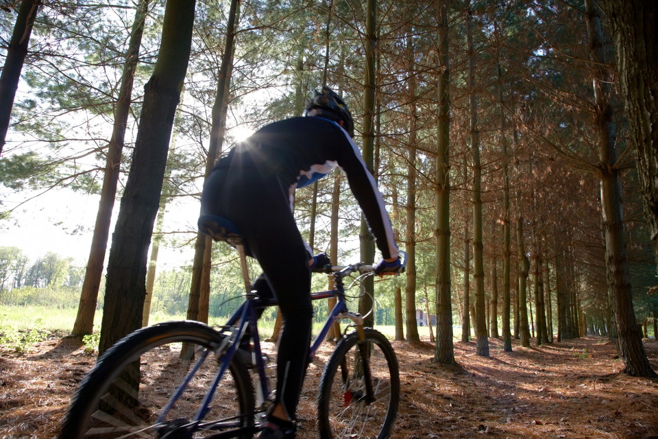
MTB led Hökensås
- Mountainbiking
- Biking
- Hiking
- County: Västra Götalands län
Trail details
- Length 18.9 km
- Time 2 h
- Difficulty Blue — medium
Actions
Description
Activities And Facilities
- Mountainbiking
- Biking
- Hiking
Facts
Length: The trail is 19.0 km and is a circular loop.
Approximate time: It takes about 1.5 - 2.0 hours to cycle.
Marking: Marked with MTB signs.
Degree of difficulty: The trail is rated as easy to medium difficulty.
Start and finish: The trail starts and ends at First Camp Hökensås. There is parking at First Camp Hökensås located opposite the start and end of the hiking trail.
Directions
Hökensås is located in western Sweden near Lake Vättern about 160 km from Gothenburg. If you choose to go by train, you go to Falköping or Skövde and then bus from there to Tidaholm. Please check the bus connection between Tidaholm and Hökensås as it is periodically sporadic.
If you go by car, Hökensås is 14 km from Tidaholm, 48 km from Jönköping.
Map
Regulations
Of course, you show extra consideration for hikers, as the stretch is also marked as a hiking trail. The mountain bike trail is marked clockwise so that you should primarily meet those moving on foot along the trail. It is always you as a cyclist who has the obligation to slow down in good time and announce that you are coming when passing people and animals. Pedestrians and walkers always have priority. Tell pedestrians when the last person passes if you are riding in a group.
Contact
Email address
Kultur- och fritidsförvaltningen i Habo kommun
Organization logotype

I’ve been here 1

I want to go here 3

Reviews
—
0 reviews
- 5 :
- 4 :
- 3 :
- 2 :
- 1 :
Questions & Answers
Ask a question to other Naturkartan users.
Users images
Share your photos of the place!
