
-
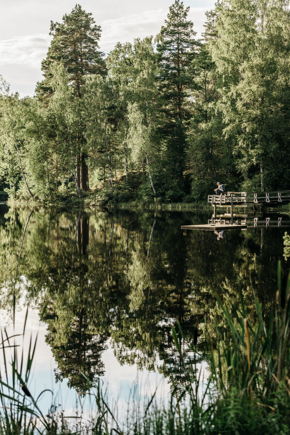
Photo: Johanna Asplund
Granviksleden
- Hiking
- County: Västra Götalands län
- 6699.76 km away from you
Trail details
- Length 5.0 km
- Difficulty Red - demanding
Actions
Description
It's easy to like Granviksleden, this varied
loop offers hilly and undulating forest trails,
viewpoints, grouse forests and forest lakes.
Pack your backpack, put on your hiking boots and enjoy
the stillness and silence of the forest.
Granviksleden is about 5 kilometers and winds through beautiful and
hilly terrain. The difficulty level is above medium so be prepared
for some steep climbs. There is no point in rushing through
the landscape and expect at least 2.5 hours of hiking.
The trail starts from Granvik Visitor Center. The first part is
not marked, but you can find Granviksleden by following the
orange-marked Västra Vätterleden south towards the harbor and
further up on Valekleven where the trail splits and you follow blue
markings. Alternatively, you can start the trail at the old school in
Granvik (Tivedens Vandrarhem) or connect via Stora Ormahålan in
the Stora Fjället nature reserve.
Granviksleden is also called "the three lakes hike". Here you pass
Yttersjön, Stora Ormahålan and Blanksjön - three mysterious
forest lakes beautifully framed by rocky outcrops, scrub oak and ancient
pines.
Activities And Facilities
- Hiking
Downloads
Contact
Email address
Please be aware that some of these texts have been automatically translated.
I’ve been here 3

I want to go here 5

Questions & Answers
Ask a question to other Naturkartan users.
Reviews
0 reviews
- 5 :
- 4 :
- 3 :
- 2 :
- 1 :
Users images
No user images yet. Be the first to share!
