

Bruksleden
Välkommen till Bruksleden!

Be aware of the prevailing conditions, surroundings and residents in the area. Exercise caution and follow the authorities' instructions in the event of, for example, a fire ban.
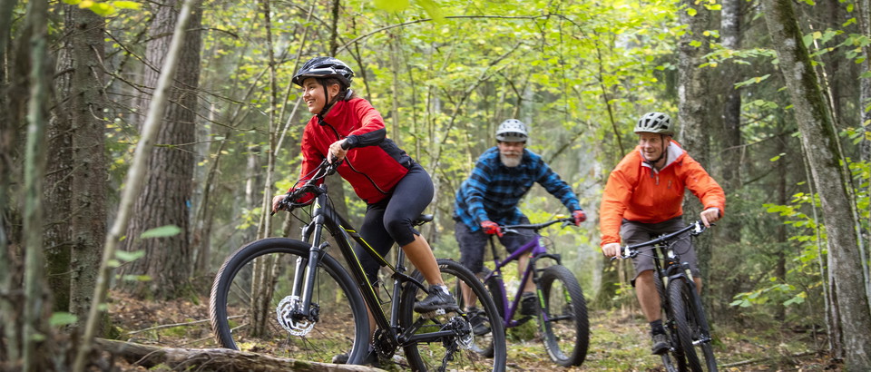
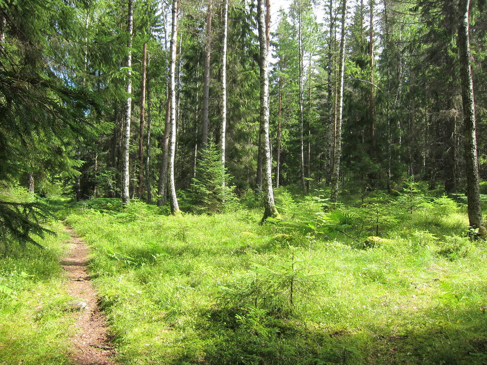
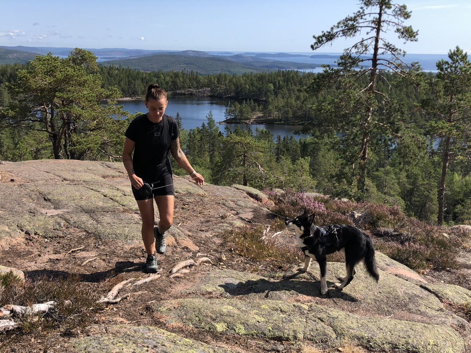
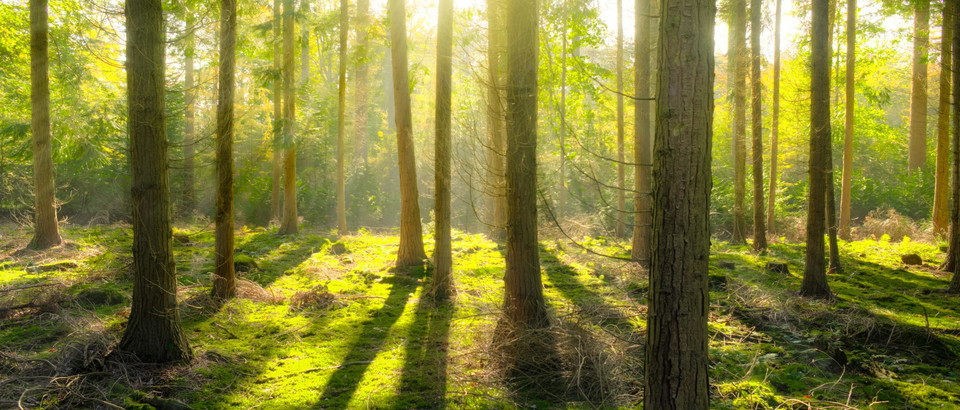
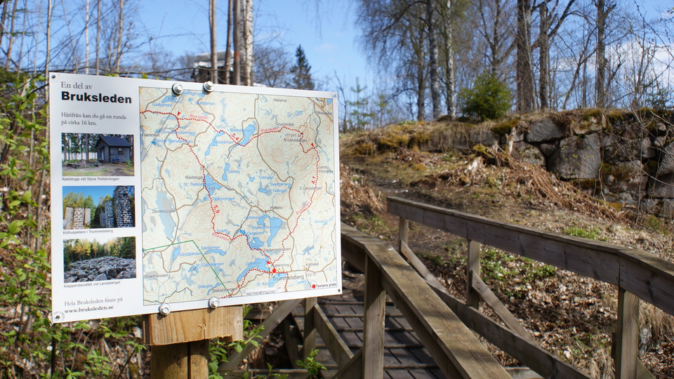
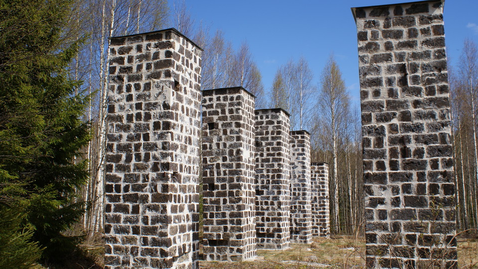
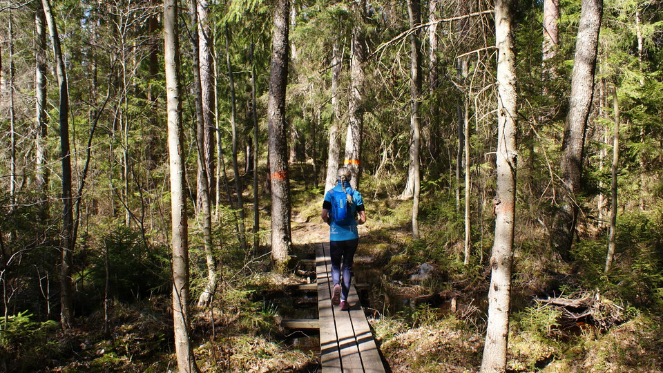
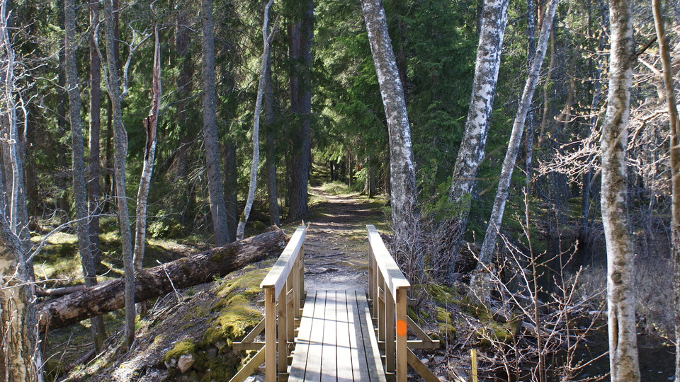
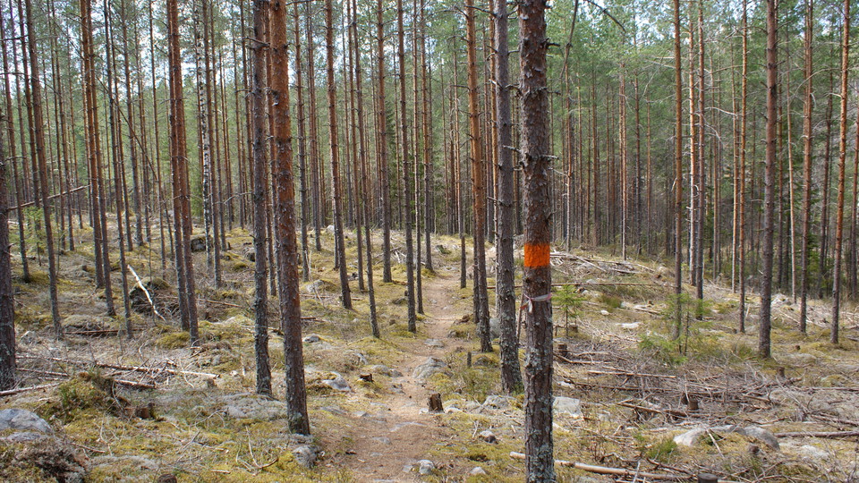
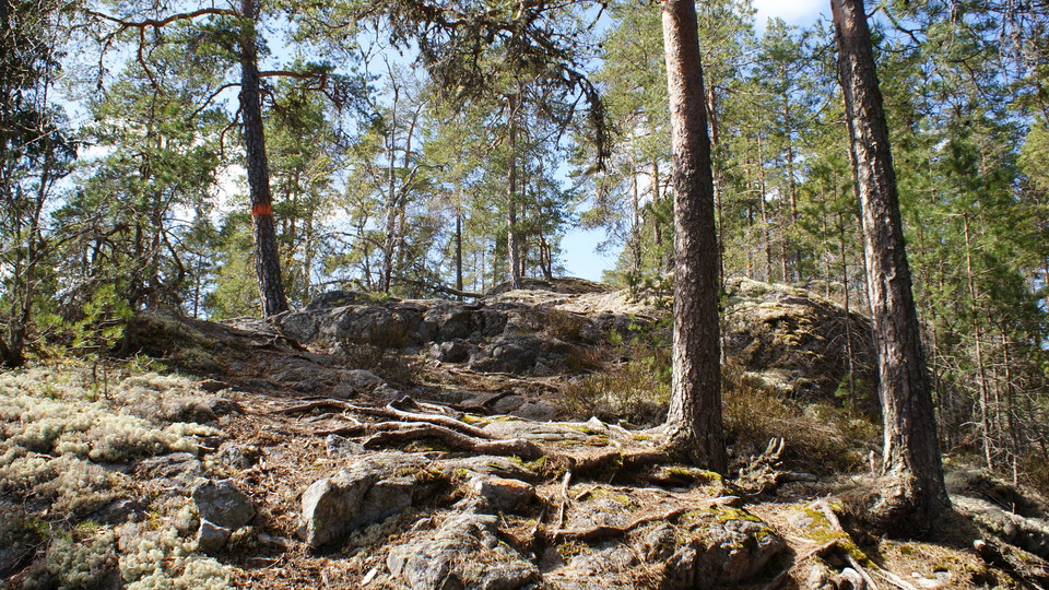
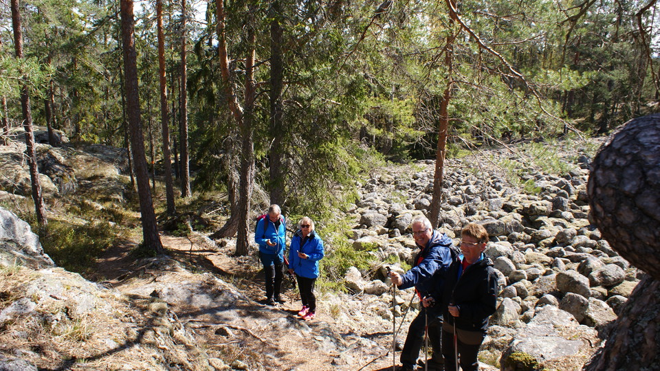
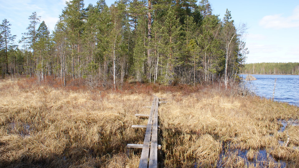
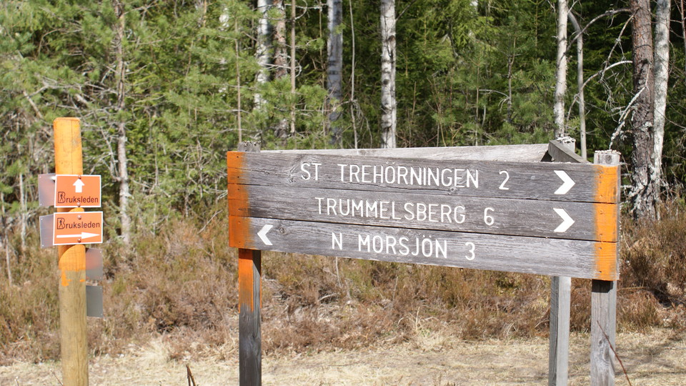
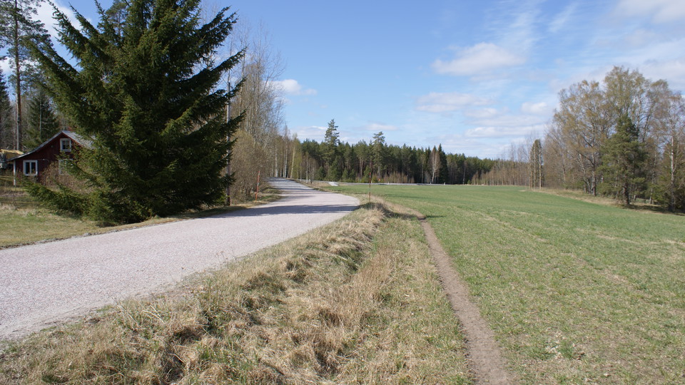
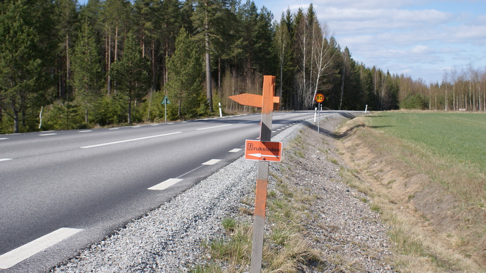
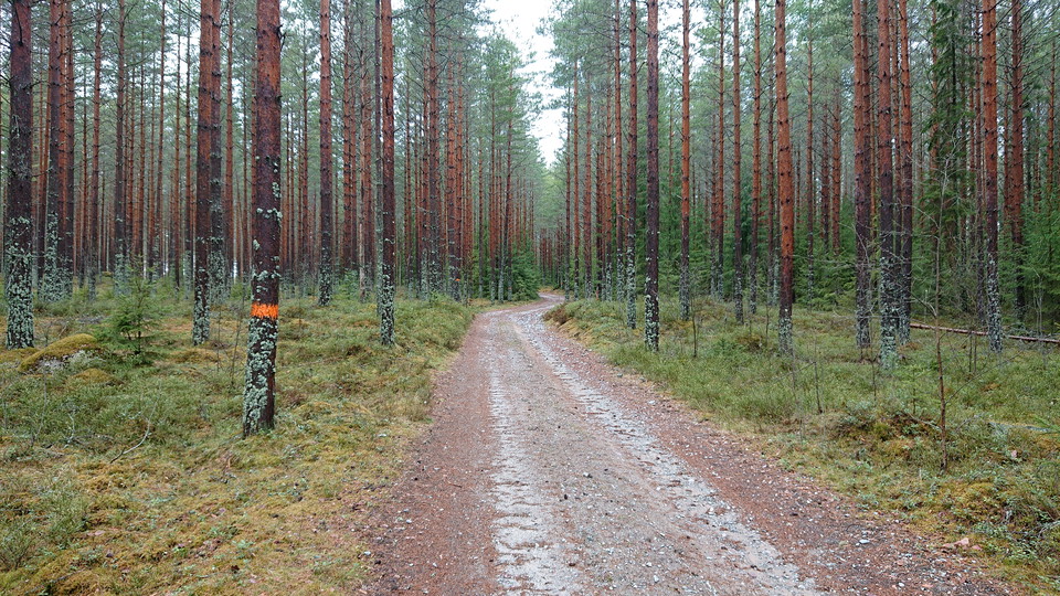
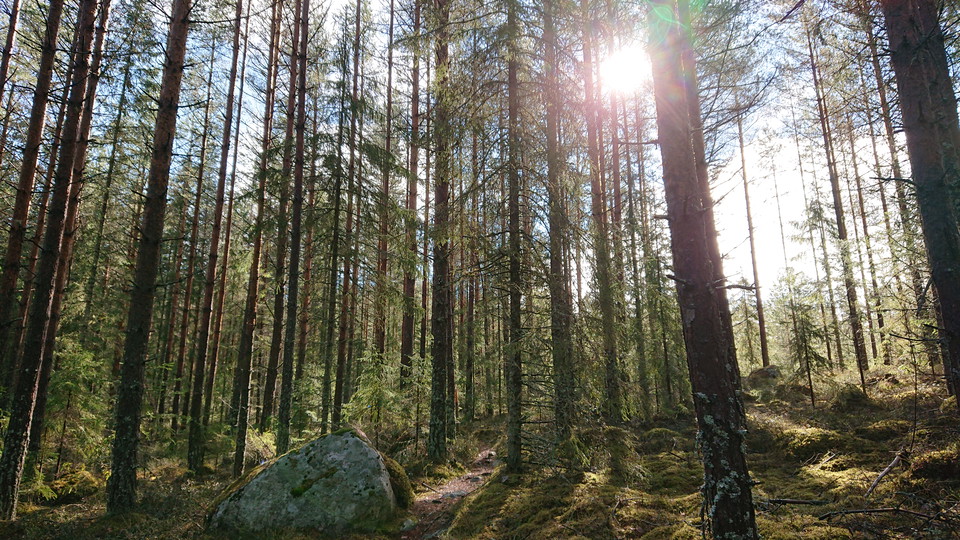
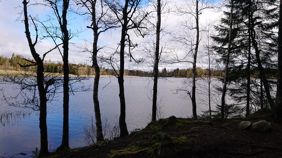
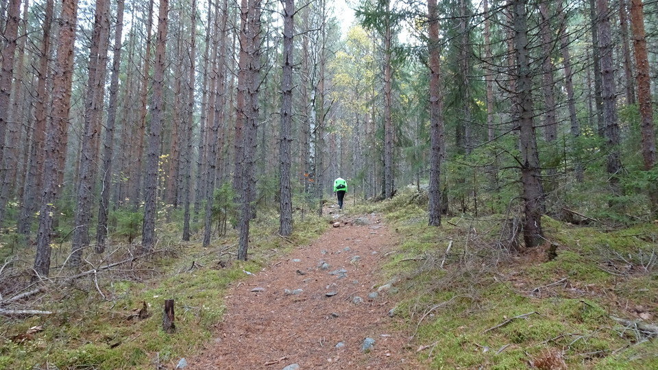
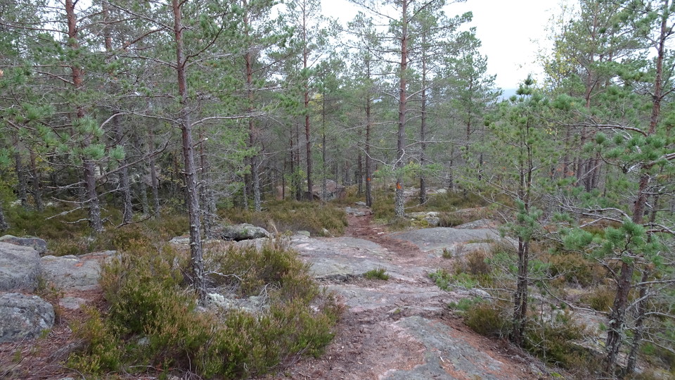
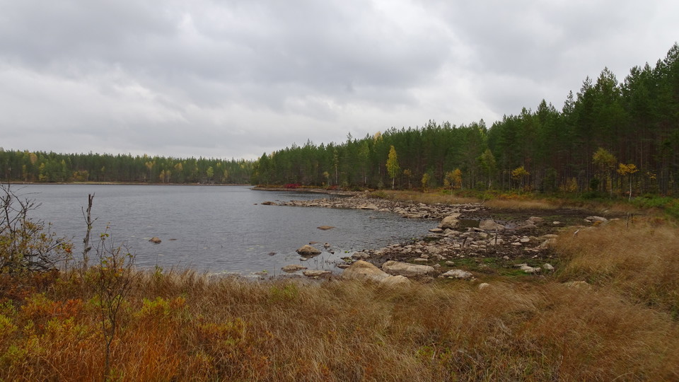
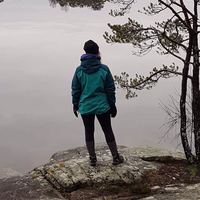
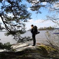
The hike starts in Trummelsberg and goes via St. Trehörningen to Norra Morsjön, note that stages 12 and 13 split just after passing the old Trummelsberg mill and Slaggstenspelarna. The hike is very varied and hilly. It is a very beautiful forest landscape that offers small lakes, bare rocks, up over heights and moraine fields. This stage is almost entirely on forest paths / narrow single track except for the gravel road that leads you through the community of Bastmora. When you reach Bastmora and continue towards Norra Morsjön, please be careful as a major road must be crossed. Please show consideration for residents in the area.
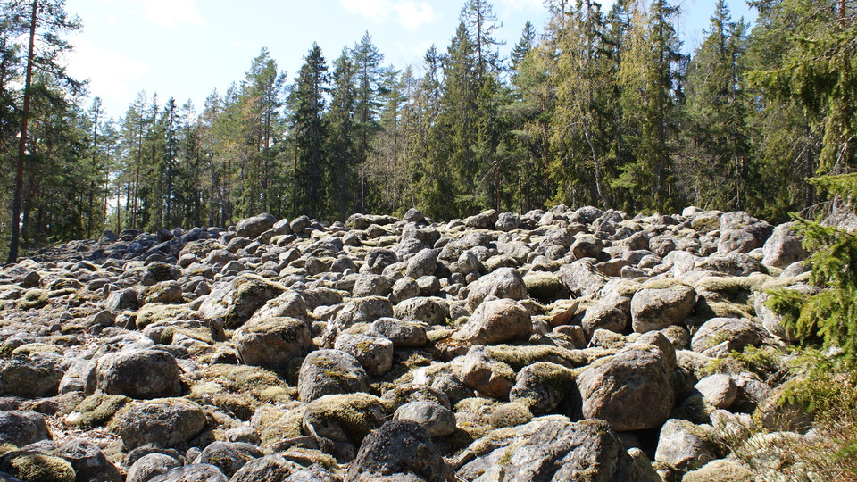
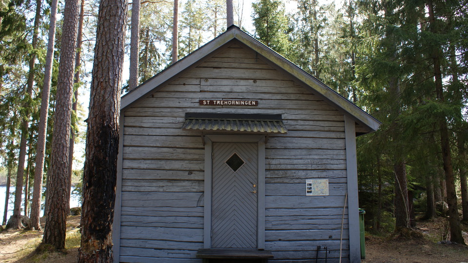
On the way to Norra Morsjön you will pass Jättens Grav (Klapperstensfält) and St. Trehörningen, where you can barbecue and swim in the summer. There is a rest cabin that you can spend the night in. The cabin has a small stove. Anyone who makes a fire is asked to take the necessary precautions. You will also pass Storsjön. Please respect the fishing rules that apply.
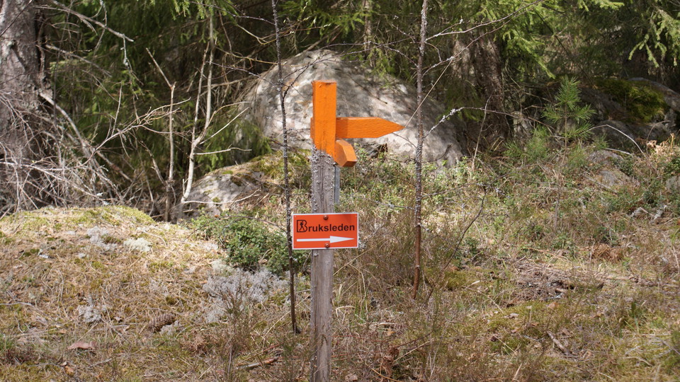
This hike can be done by combining stages 12 and 13 of Bruksleden. Follow the signs and you can walk from Trummelsberg to Trehörningen, via the gravel road towards Bastmora and then turn back up towards Norra Landsberget. From Norra Landsberget you can then get to Trummelsberg again. Then the hike will be about 16 km.
You can drive to this stage. It is possible to park in Trummelsberg. If you start your hike in Bastmora, keep in mind that there are no parking spaces, but you must stand in a suitable way so that you do not disturb the public.
Forest paths. Some distance on gravel road. Singletrack path. Roots and partly rocky parts.
Available in Trummelsberg and at the Lower and Upper parking lots at Landsberget. Follow the signs.
NOTE! If you are going to start your hike in Bastmora, keep in mind that there are no parking spaces, but you must stand in a suitable way so that you do not disturb the public.
Via RV66 you get to Trummelsberg. It is about 56 km from Västerås and about 20 km from Fagersta.
Via RV68 from Fagersta and county road 250 in the direction of Köping, you can park at the community Bastmoram, about 11 km.
Please be aware that some of these texts have been automatically translated.



Ask a question to other Naturkartan users.
0 reviews
No user images yet. Be the first to share!