
-
-
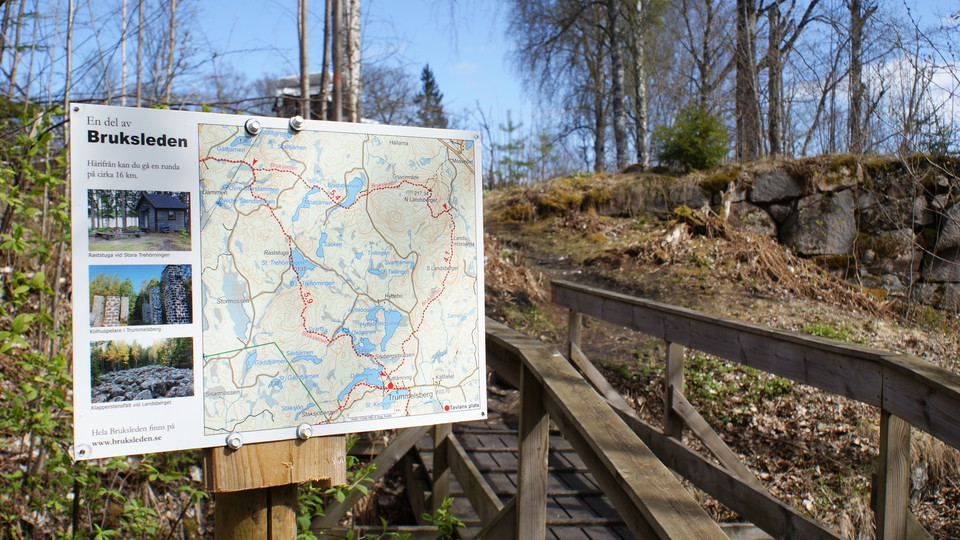
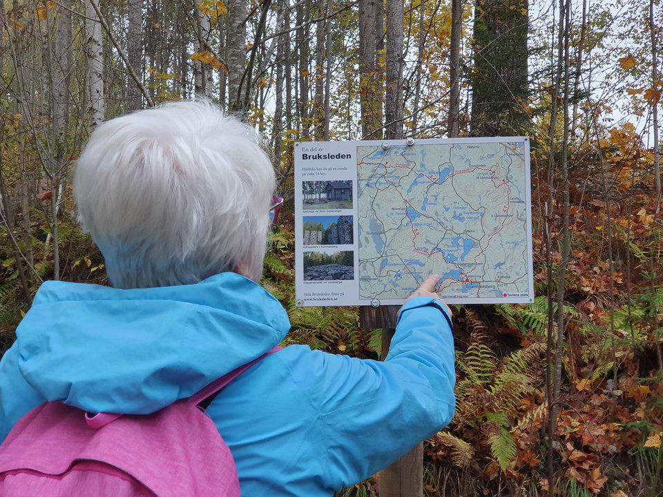
Informationsskylt i Trummelsberg -
-
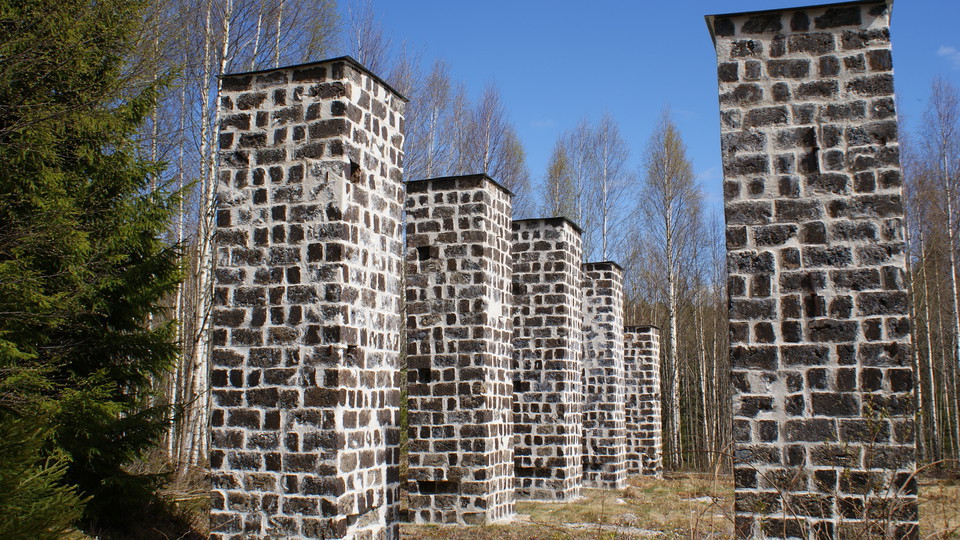
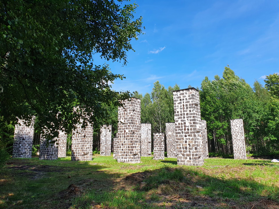
Slaggstenspelare i Trummelsberg -
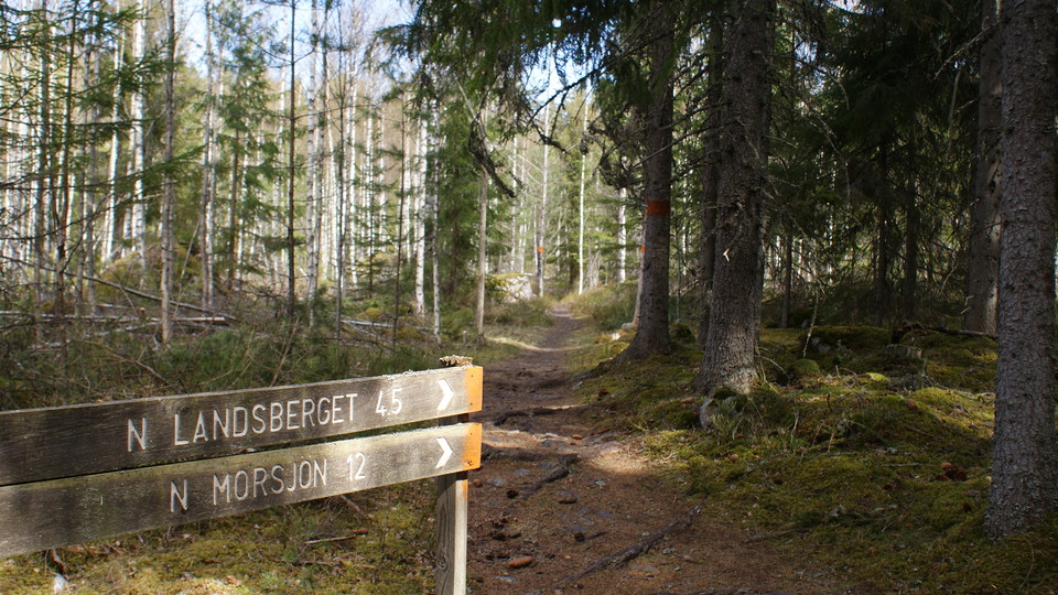
Kilometer och längdangivelse i riktning mot N Landsberget och N Morsjön -
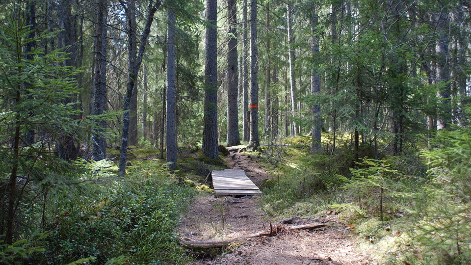
Skogsstig -
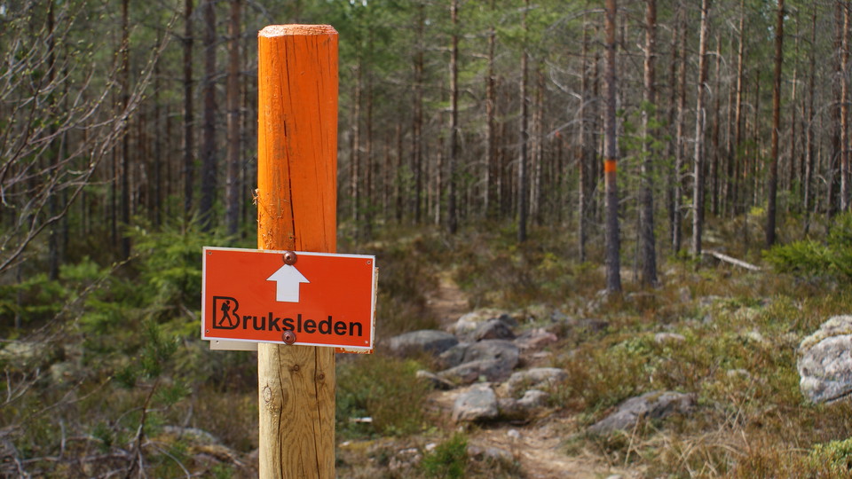
Tydlig skyltning för Bruksleden -
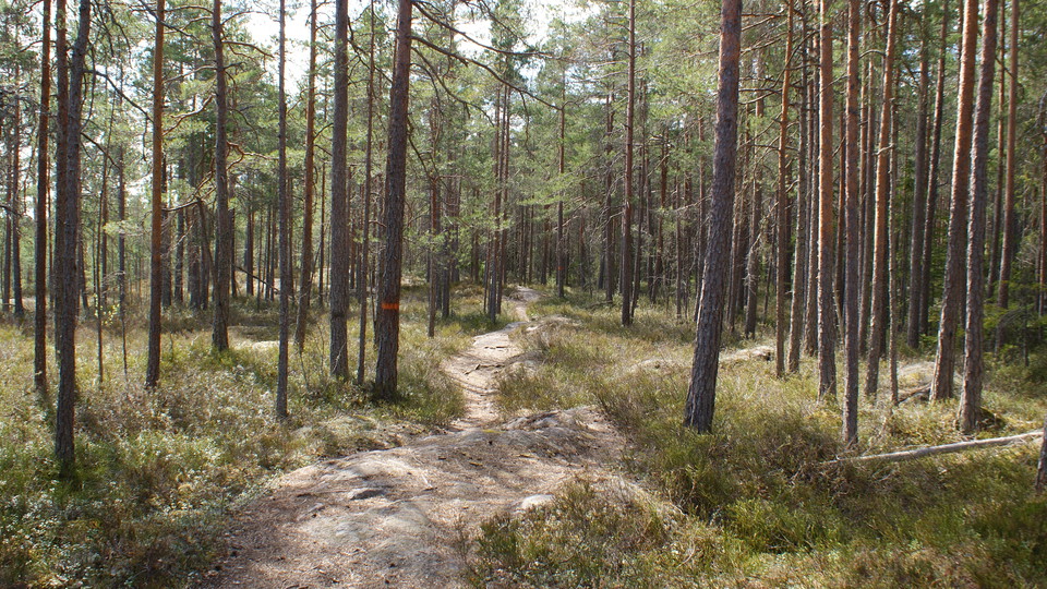
Stig i närheten av Södra Landsberget -
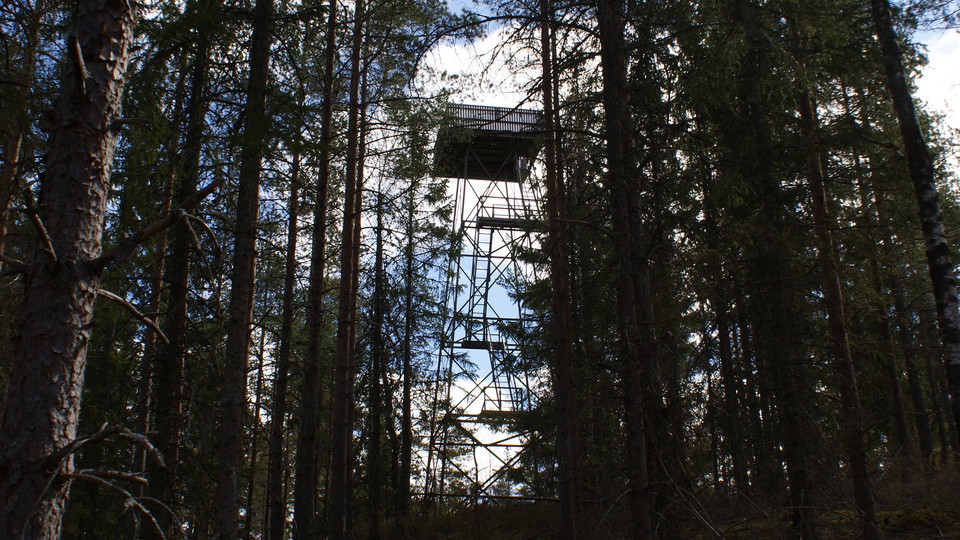
Luftbevakningstornet vid N Landsberget. OBS! Avstängt! -
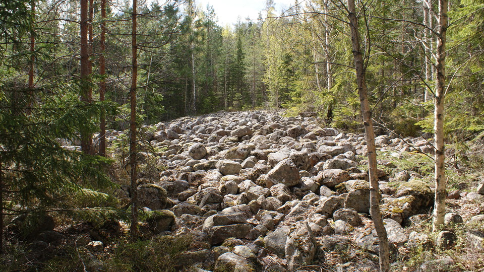
Klapperstensfält -
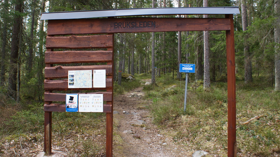
Bruksledens startplats vid N Landsbergets Övre Parkering -
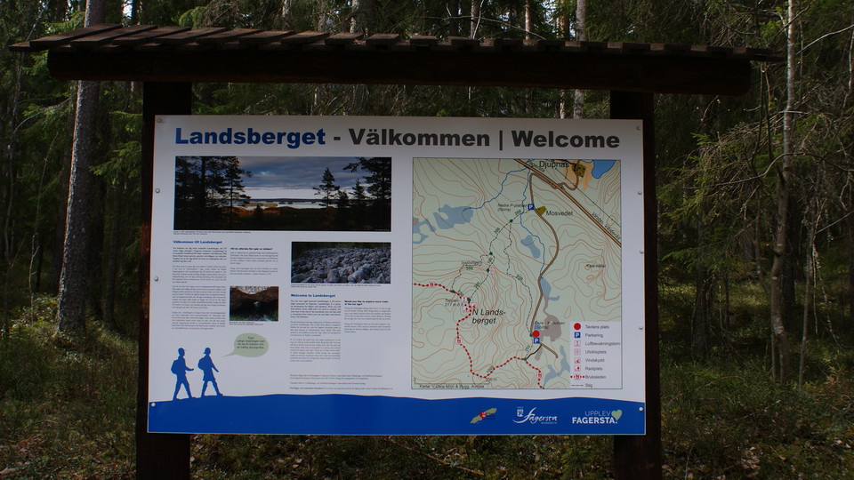
Informationsskylt, N Landsberget, Övre parkeringen -
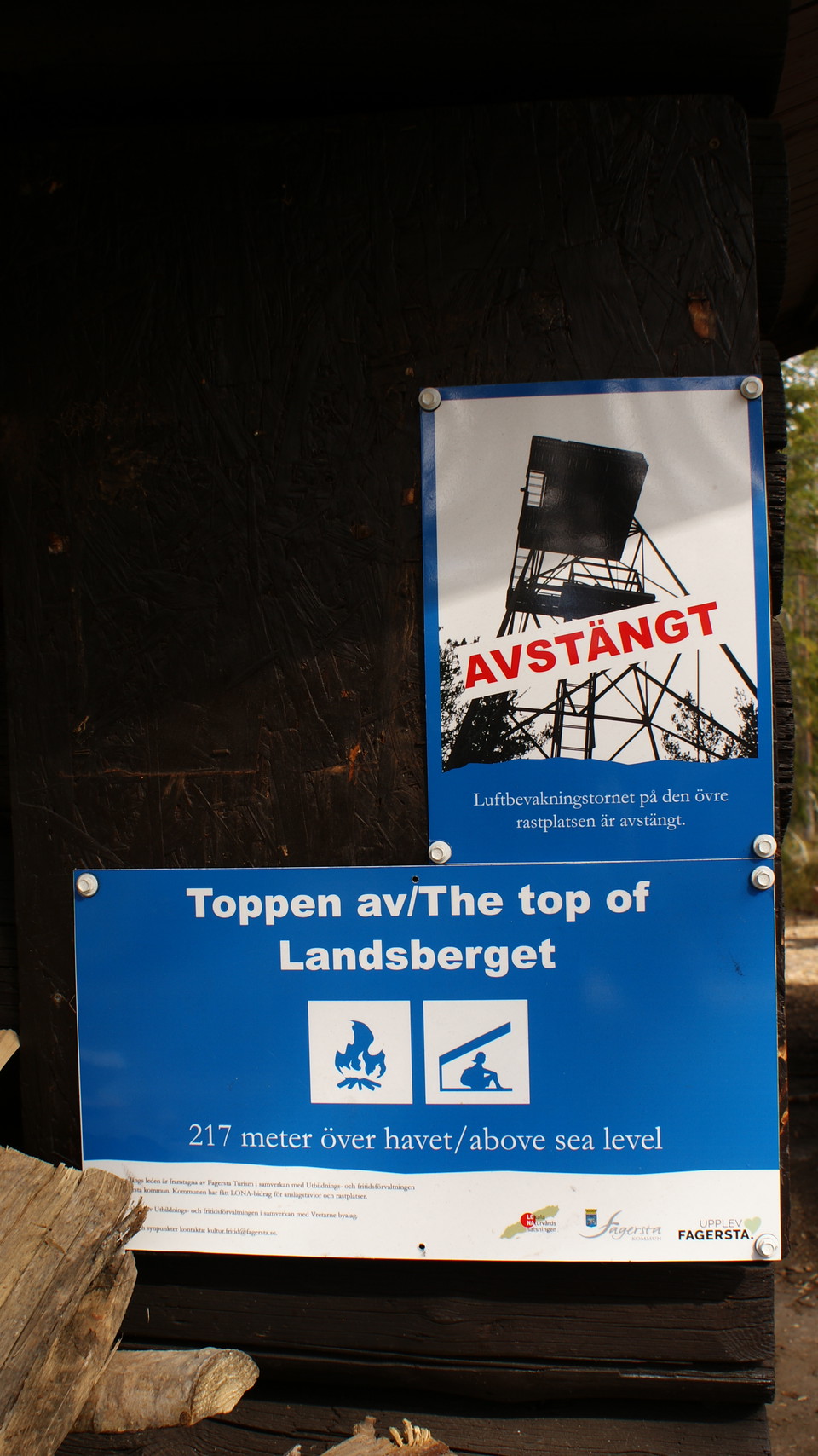
Informationsskylt vid Norra Landsberget, Luftbevakningstornet är avstängt -
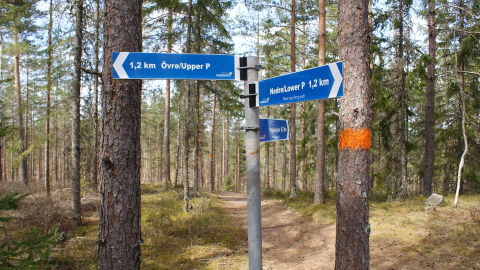
Avstånd och riktningsangivelse vid Norra Landsberget -
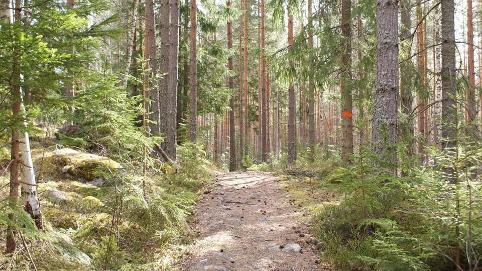
Stig -
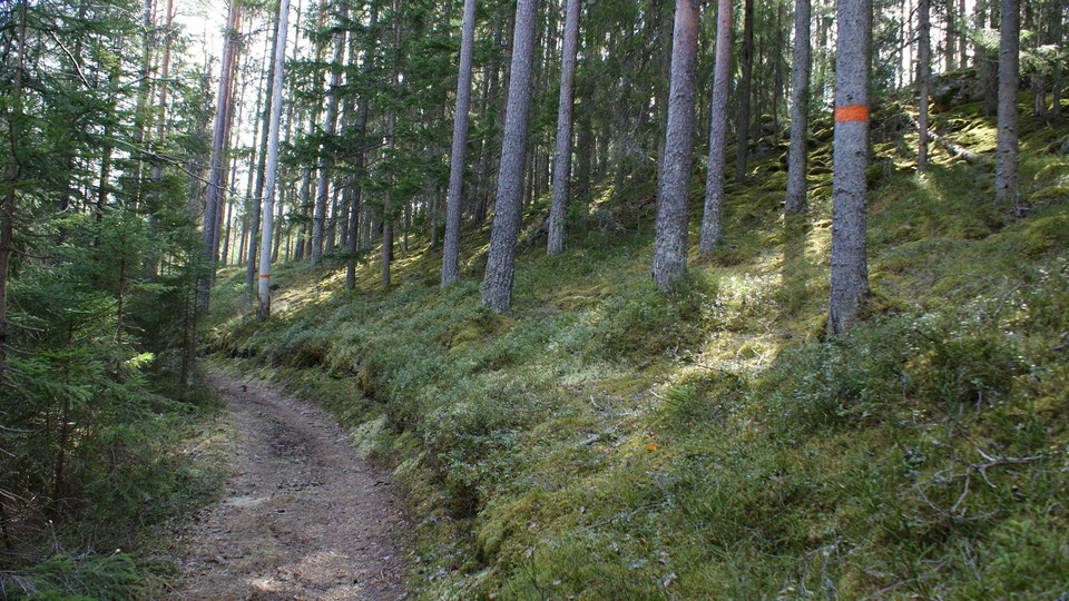
Stig -
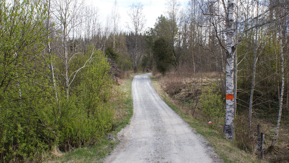
Grusväg vid samhället Bastmora -
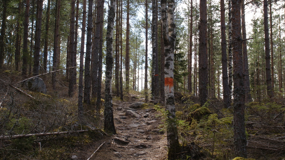
Härlig vandring nerför Norra Landsberget i riktning mot Norra Morsjön -
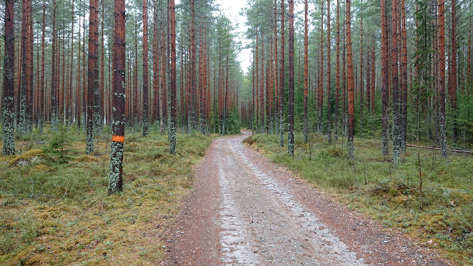
Grusväg på väg mot Norra Morsjön -
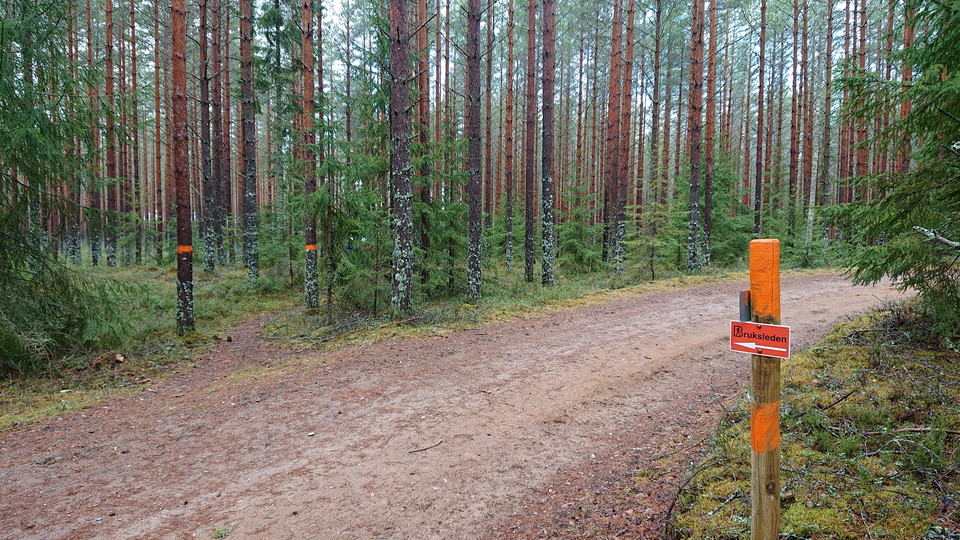
Mot Norra Morsjön -
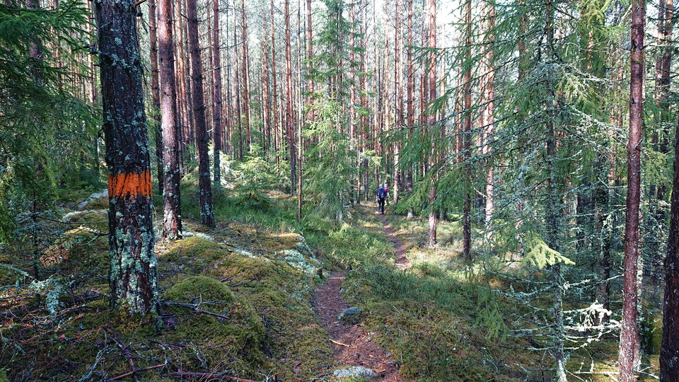
Stig vid Norra Morsjön -
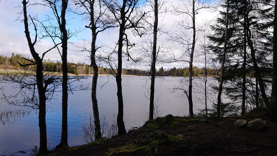
Etappens mål - Norra Morsjön
12 Trummelsberg – Norra Morsjön, via Landsberget |Bruksleden
- Hiking
- Quiet places
- Walking
- Mountainbiking
- Running
- Trail running
- Near parking
- County: Västmanlands län
- 6694.28 km away from you
Trail details
- Length 12.5 km
- Difficulty Blue - medium
Actions
Description
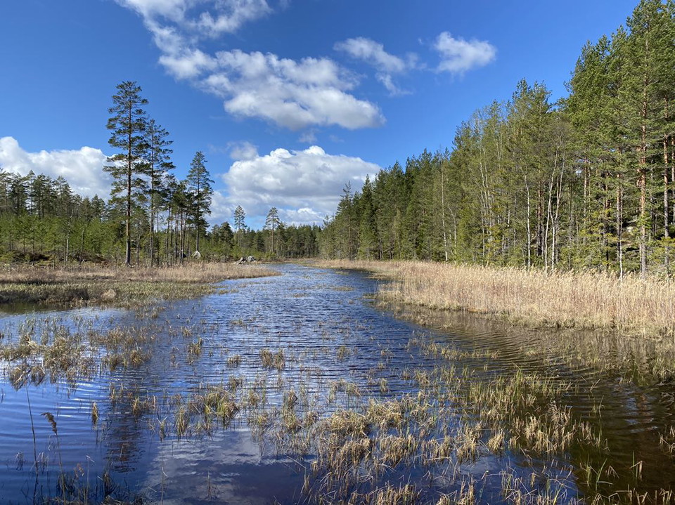
The hike starts in Trummelsberg and extends to Norra Morsjön. The distance is about 12.5 km and runs in hilly forest landscape. On the way to Norra Morsjön you pass Södra and Norra Landsberget. The route is hilly and sometimes rocky, but despite this it is very easy to walk on the route's "single track" to forest road.
On the way to Norr Morsjön you will pass two peaks, Södra Landsberget measuring 190 meters above sea level and Norra Landsberget measuring 217 meters above sea level. The route is best hiked in spring, summer or fall. Please respect that the old air surveillance tower at Norra Landsberget is currently closed.
This route can be reached by public transportation but please note that there are few lines running during the weekend. If you come by car, you can park in Trummelsberg and at the lower and upper parking lot at Norra Landsberget. Follow the recommended signs and please show consideration for residents in the area. At Norra Landsberget's upper parking lot there is very good information about Bruksleden.
Activities And Facilities
- Quiet places
- Walking
- Mountainbiking
- Running
- Hiking
- Trail running
Accessibility
- Near parking
Surface
Forest road, stone, roots, singletrack path.
Parking
Available in Trummelsberg and at the Lower and Upper parking lots at Landsberget. Follow the signs. Due to a dam break at Sågsjön, the road after the parking lot in Trummelsberg is washed away. This means that it is not possible to drive on towards Bockhammar/Skinnskatteberg from highway 66. If you are coming from the Bockhammar direction, you cannot get to the parking lot next to Trummelsberg's slag stone pillar at Stora Kedjen, nor drive on towards highway 66. The road to the large picnic area by the lake in Trummelsberg is impassable and the bridge is destroyed. It is therefore not possible to get to the barbecue area and the windbreak.
Directions
Via RV66 you can reach Trummelsberg. Trummelsberg is located about 56 km from Västerås and about 20 km from Fagersta.
Via RV 66 you can reach the lower and upper parking lot at Landsberget. Landsberget is located about 15 km from Fagersta and about 55 km from Västerås.
Downloads
Contact
Email address
Please be aware that some of these texts have been automatically translated.
I’ve been here 29







I want to go here 41





Questions & Answers
Ask a question to other Naturkartan users.
Reviews
0 reviews
- 5 :
- 4 :
- 3 :
- 2 :
- 1 :
Users images
No user images yet. Be the first to share!
